- Ammerzoden
Dutch town locator maps
mun_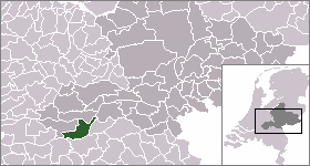
town_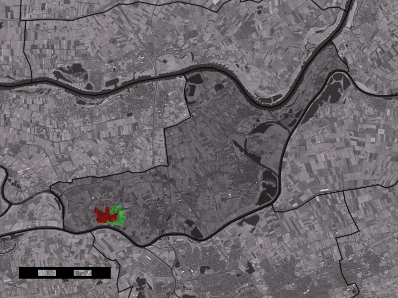
caption = The town centre (red) and the statistical district (light green) of Ammerzoden in the municipality of Maasdriel.Ammerzoden (coord|51|45|N|5|13|E|type:city(2849)) is a village on the northern bank of the
Maas river in westernGelderland , a Dutch province. The people of the village have strong connections with the people in the province ofNoord-Brabant , especially the nearby city of's-Hertogenbosch . Since1 January 1999 , Ammerzoden has been part of the municipality ofMaasdriel .Ammerzoden has a famous castle, 'Kasteel Ammersoyen', built around 1300. It was heavily damaged by fire in 1590, and sustained damage during
World War II . The castle was reopened in 1975.Ammerzoden has two churches. The Protestant church, built between 1500 and 1547 as a
Catholic church, was partly destroyed by the French in 1672. Some years before, the church became the property of theProtestants . Even today, most of the building is a ruin. Some parts are restored and in use.In the 19th century, the Catholic people built a new church for themselves, named after
St. Willibrord . This building was destroyed by the Germans in World War II. A new church with the same name has existed since 1953.Until 1999, Ammerzoden was a separate municipality
tatistics
In 2001, the town of Ammerzoden had 2849 inhabitants. The built-up area of the town was 0.69 km², and contained 1034 residences.Statistics Netherlands (CBS), [http://www.cbs.nl/nl-NL/menu/themas/milieu-natuur-ruimte/ruimte/publicaties/cartografie-geografie/geografische-data/2001-bevolkingskernen-in-nederland.htm "Bevolkingskernen in Nederland 2001"] . (Statistics are for the continuous built-up area).] The statistical area "Ammerzoden", which also can include the peripheral parts of the village, as well as the surrounding countryside, has a population of around 3180.Statistics Netherlands (CBS), [http://statline.cbs.nl/ "Statline: Kerncijfers wijken en buurten 2003-2005"] . As of
January 1 ,2005 .]References
External links
* [http://www.kasteleningelderland.nl/Kastelen/ammersoyen.htm Ammersoyen Castle (Kastelen in Gelderland)]
* [http://hervormdegemeentewell.uwnet.nl/Ruiine%20Kerk.htm Protestant Church in Ammerzoden, site of the Hervormde Gemeente]
* [http://www.kuijsten.de/atlas/ge/ammerzoden.html Map of the municipality in 1868]
Wikimedia Foundation. 2010.