- Muriwai
-
 Muriwai Beach
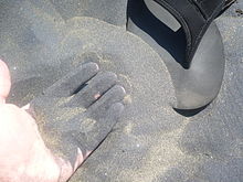 The distinctive silty black sand of Muriwai Beach
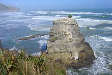
Coordinates: 36°49′S 174°25′E / 36.817°S 174.417°E
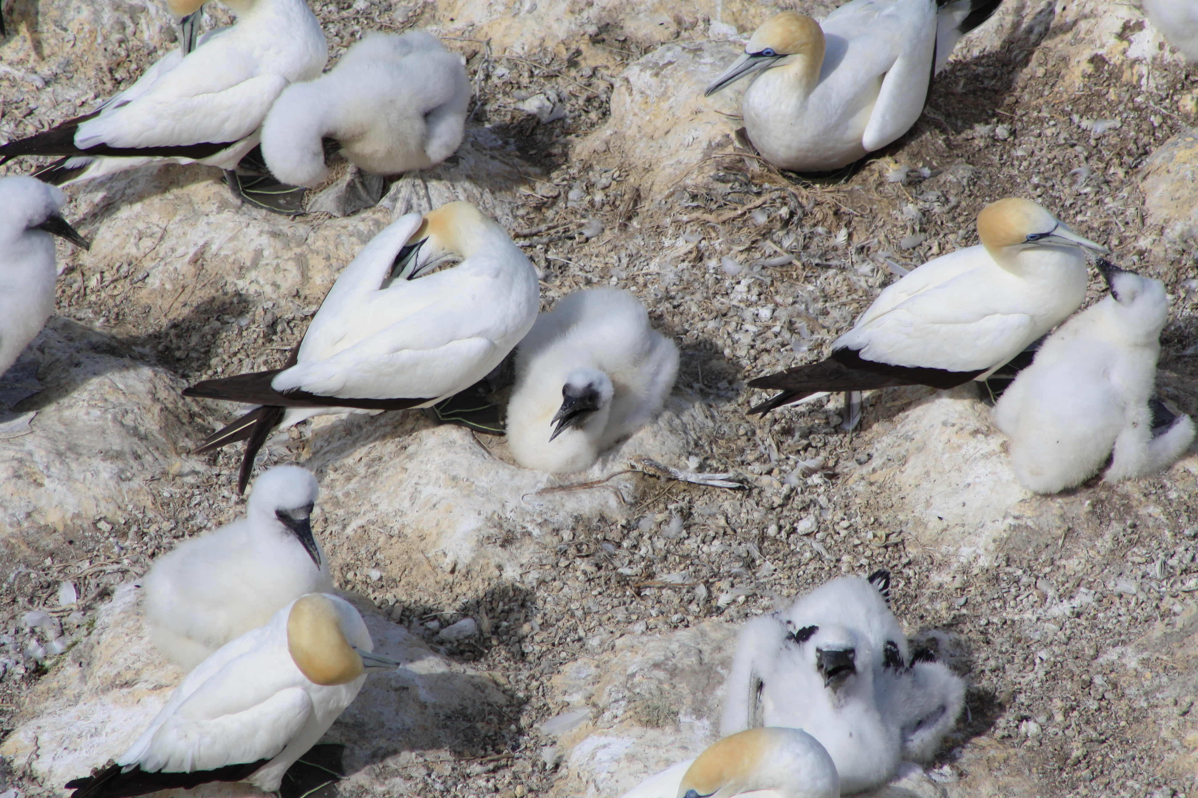
Muriwai, also called Muriwai Beach, is a coastal community located on the west coast of North Island, New Zealand. It is also home to a large colony of gannets.
Contents
Location
It is approximately 17km West of Kumeu, 42 kilometres Northwest of Auckland city, at the southern end of an unbroken 50 kilometre stretch of beach which extends up the Tasman Sea coast to the mouth of the Kaipara Harbour. One of several popular beaches in the area (others include Piha and Karekare), it experiences a population explosion in summer when Aucklanders head to the sea.
Statistics
At the 2001 Census of Population and Dwellings: The census usually resident population count for Muriwai Beach was 2,037, a change of 14.3 percent since 1996.The median income of people in Muriwai Beach is $24,500, compared with $19,500 for Rodney District and $18,500 for all of New Zealand. The unemployment rate in Muriwai Beach was 5.3 percent, compared with Rodney District percent for 5.1 and 7.5 percent for all of New Zealand. [2]
Activity
- Surfing is the main pastime at Maori Bay/Muriwai. Other pastimes enjoyed at Maori Bay include paragliding and hang gliding, especially when the prevailing souwesterly wind provides favourable conditions.
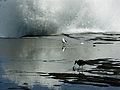
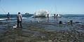
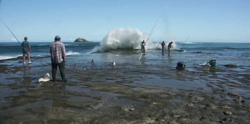
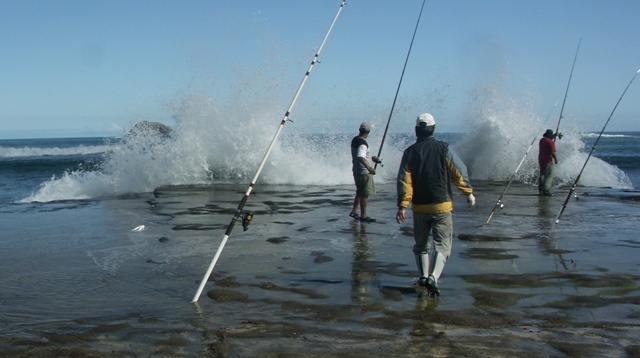
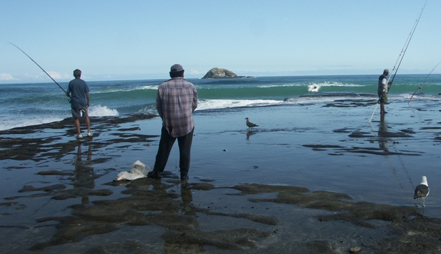
- Fishing is also popular, although dangerous in many places.
- Bush walking is encouraged, with boardwalks in place.
- Driving along the beach is popular, especially at fishing contest time, although vehicles have been mass stranded in past years.
- Sand yachts are available for hire at the local beach store.
- There are also many mountain bike trails up in the pines, mainly downhill and freeride trails.
- The beach was used extensively for motor racing from the 1920s through to the 1940s[1].
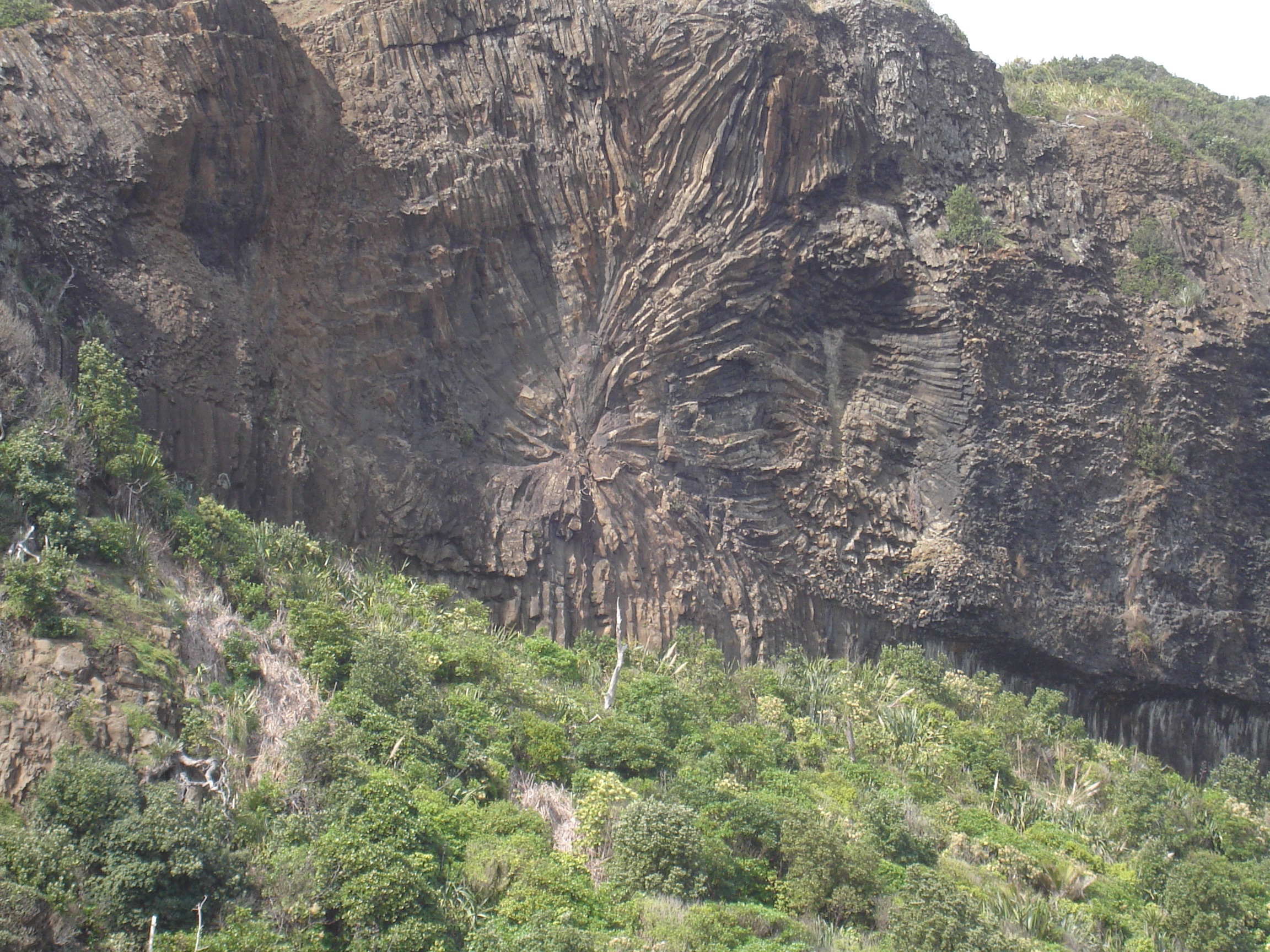
Geology
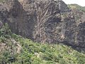
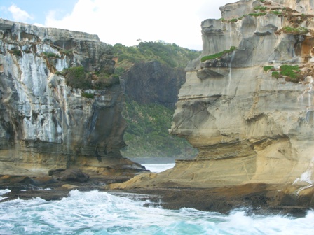
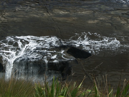
Sand and Rock, Older volcanic material, with many concretions and layers in the cliff walls. A blowhole plays often. The shore platform is also well jointed, with the main rock type being piha conglomerate.
Black sand beach
It is also unique because of its black sand, caused by the iron content derived from the ancient volcanoes in the area. The majority of the black mineral sand is carried up the west coast from Mt Taranaki through the process of longshore drift. This sand is igneous material that was eroded from the volcanic area. Despite this, the area has retained much of its natural beauty and isolation.
Muriwai Beach Regional Park
Much of the land at the southern end of the beach is part of the Muriwai Beach Regional Park. Maori Bay (to the south) is separated from Muriwai Beach by a steep cliffs and rocky nesting areas that are home to the region's only gannet colony.
Photo gallery
-
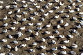
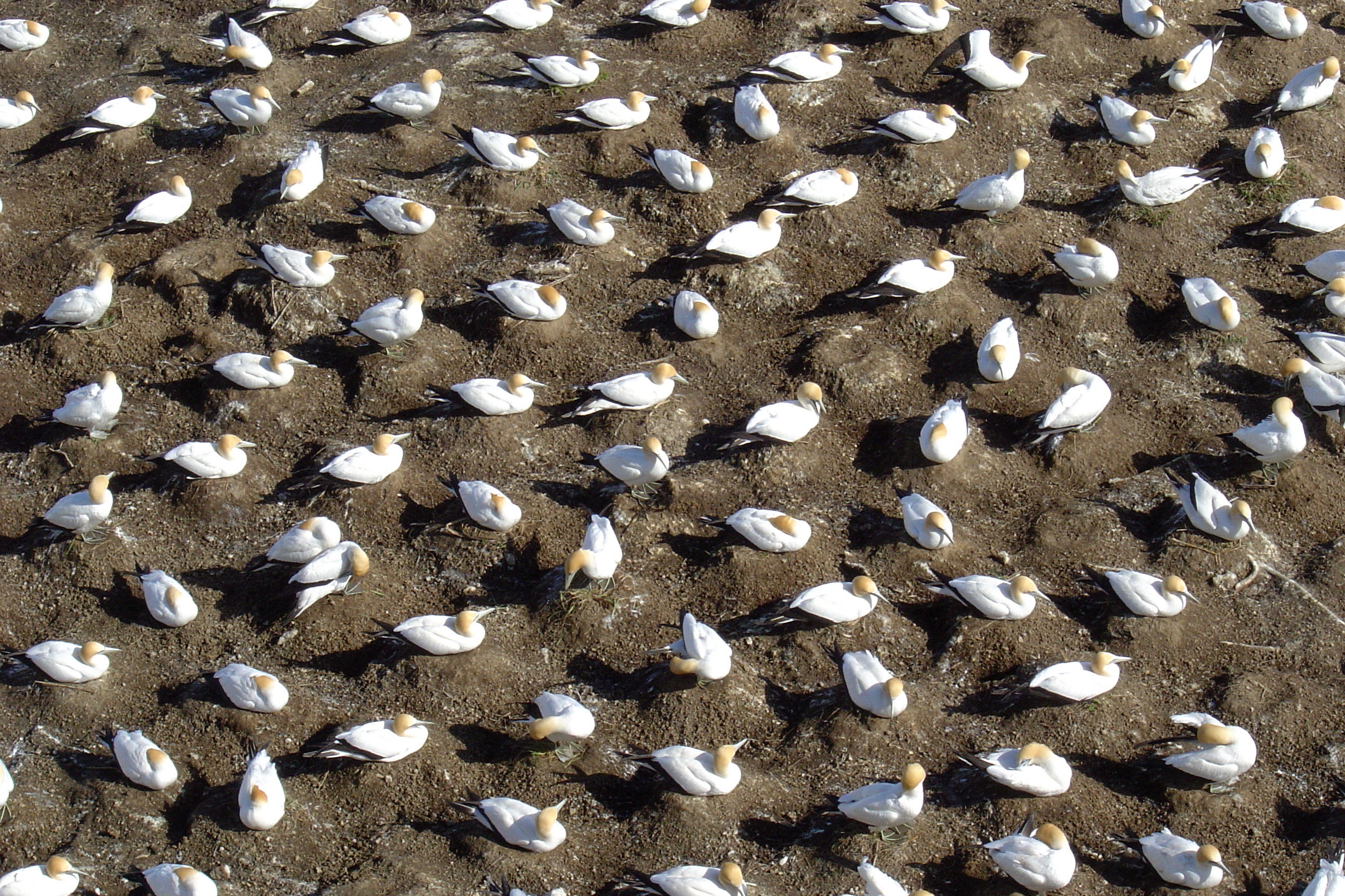
'Nesting gannets' - Muriwai colony
-

'Nesting gannets closeup' - Muriwai colony
-

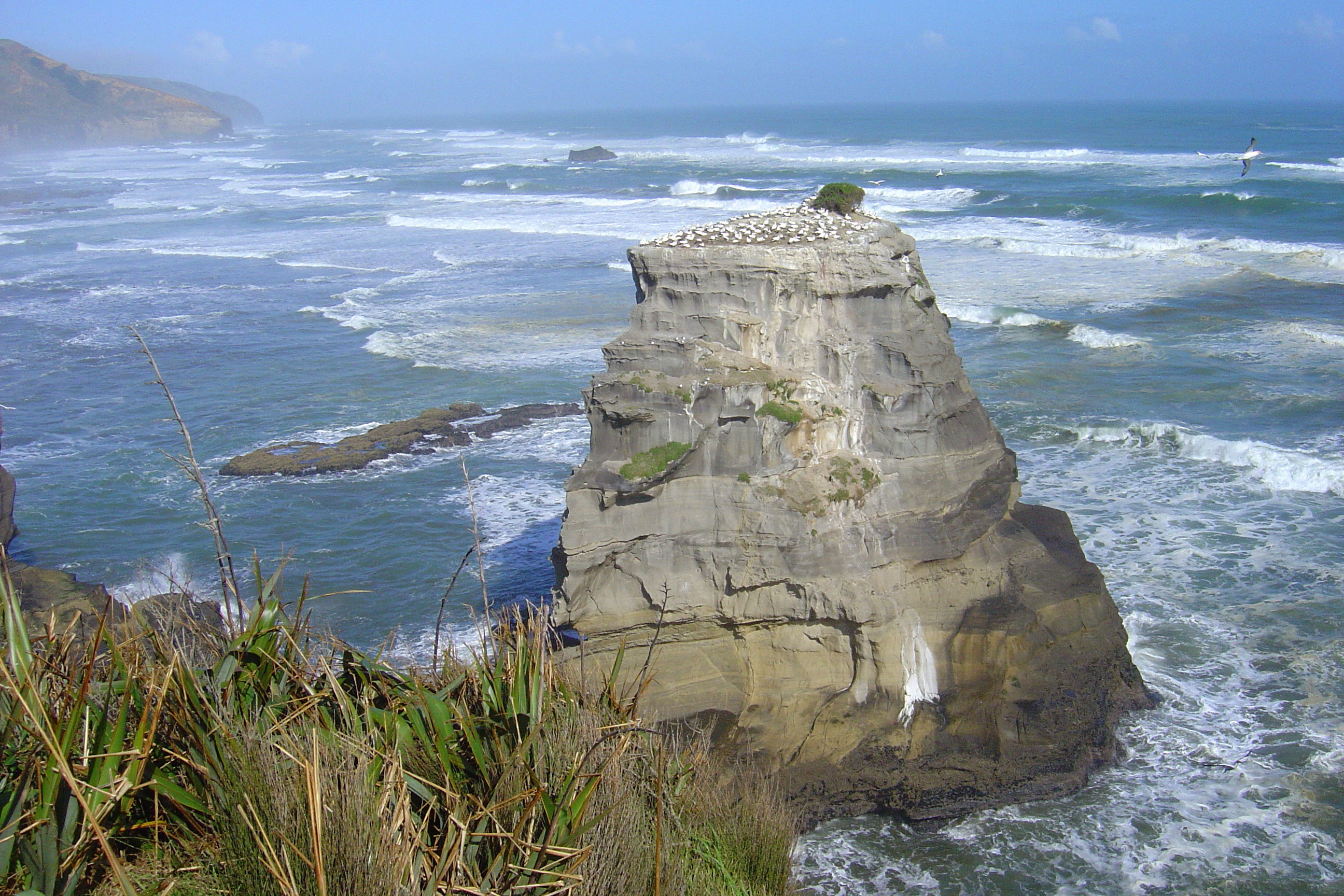
'Muriwai gannet colony with Maori Bay behind'
-
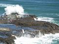
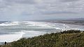
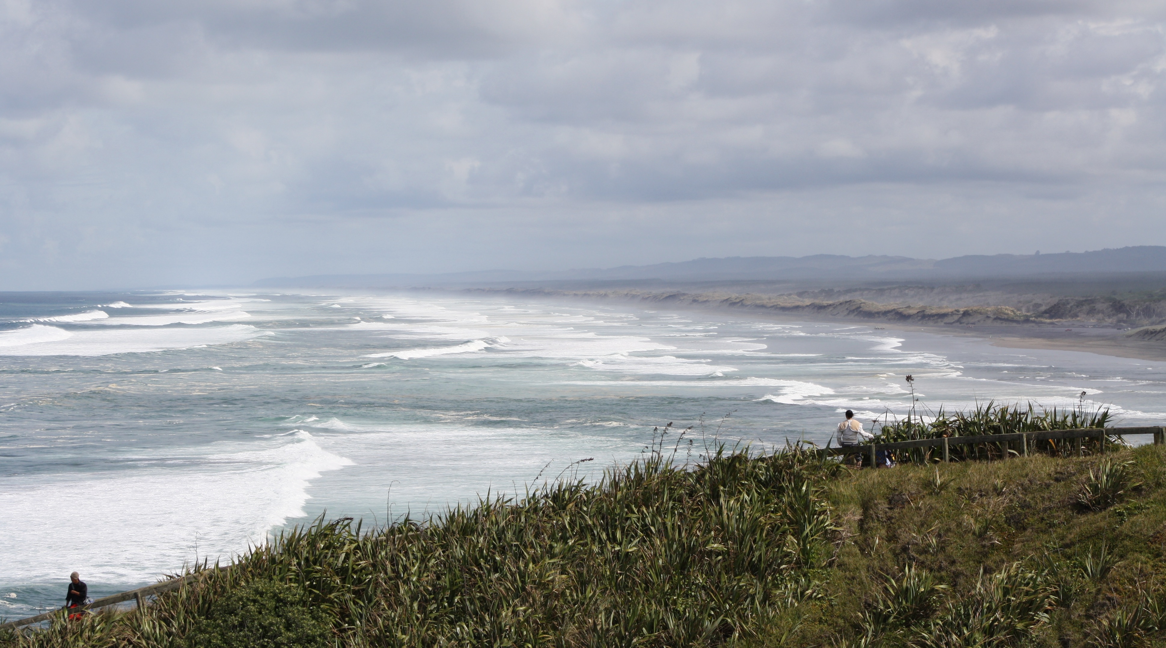
'Muriwai energy'. The dangerous seas at the flat rock
-
'Muriwai extreme fishing'
-
'Muriwai extreme fishing'
-
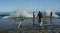
'Extreme fishing'
-

'Extreme surfing'
-
'Maori Bay pillow lava'
-
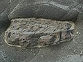
'Concretion - marine fossil'
-

'Blowhole'
-
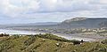
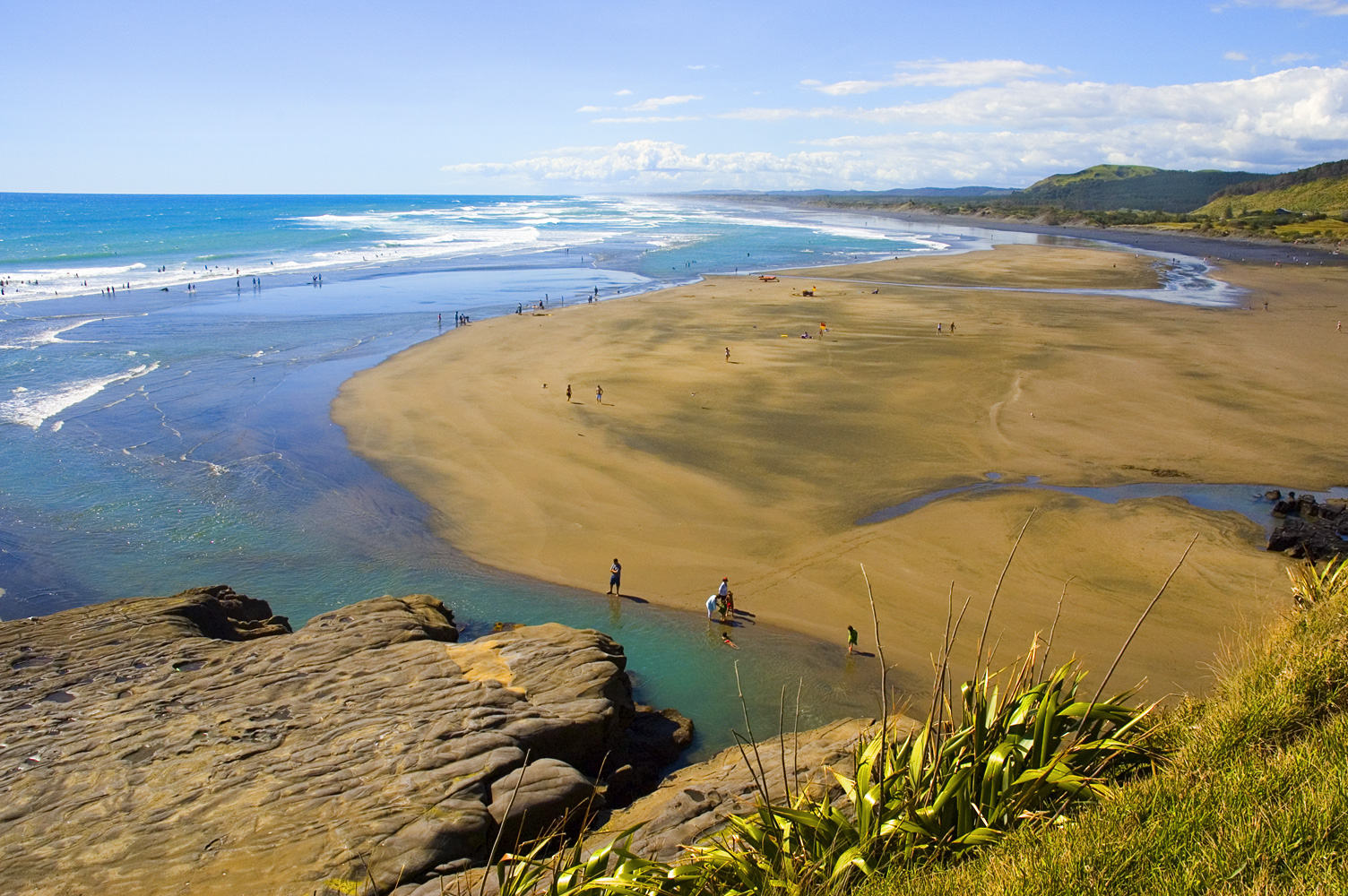
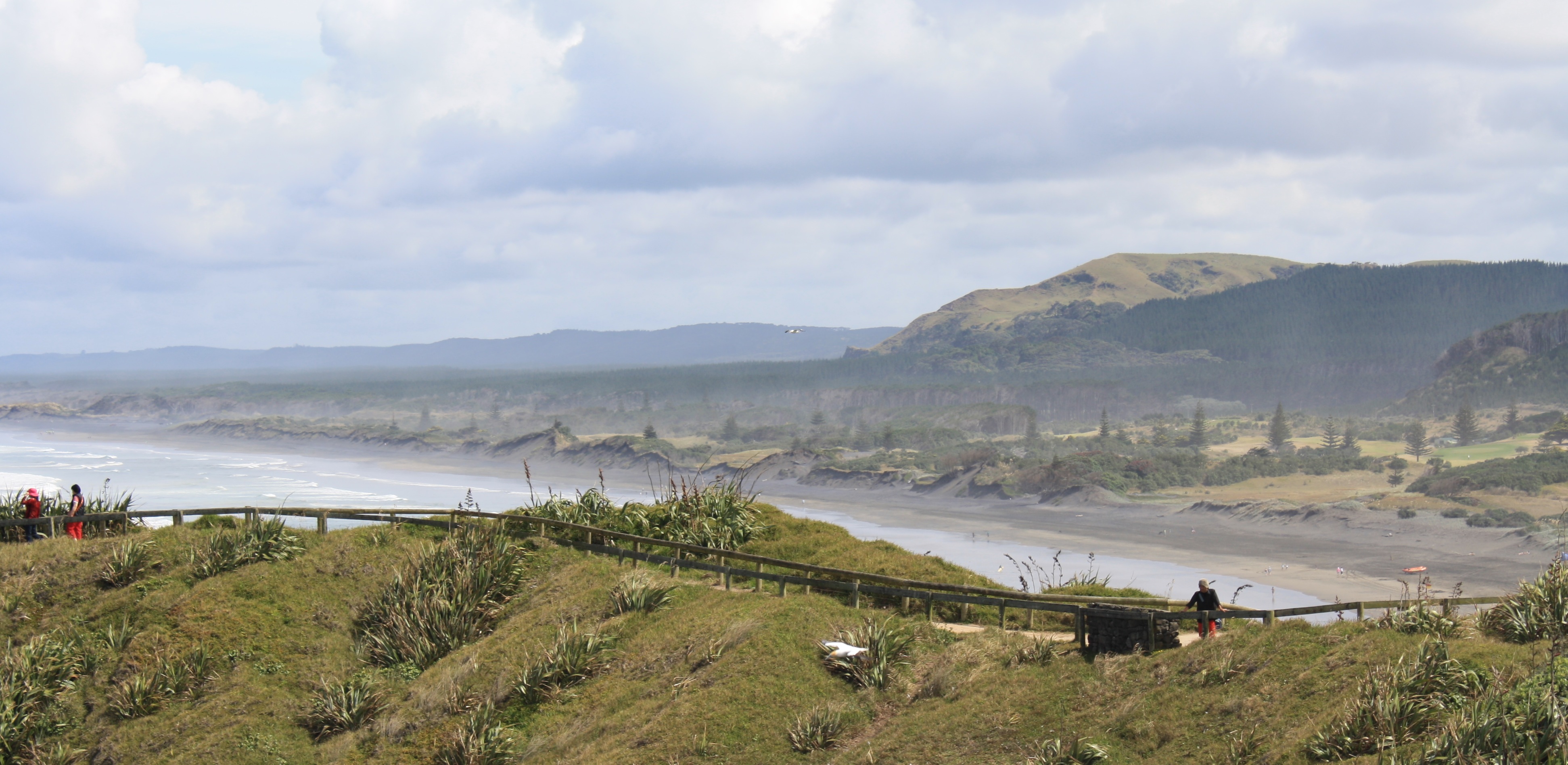
'Muriwai Beach from gannet colony'
-
'Muriwai Beach from gannet colony'
-
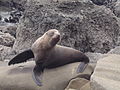
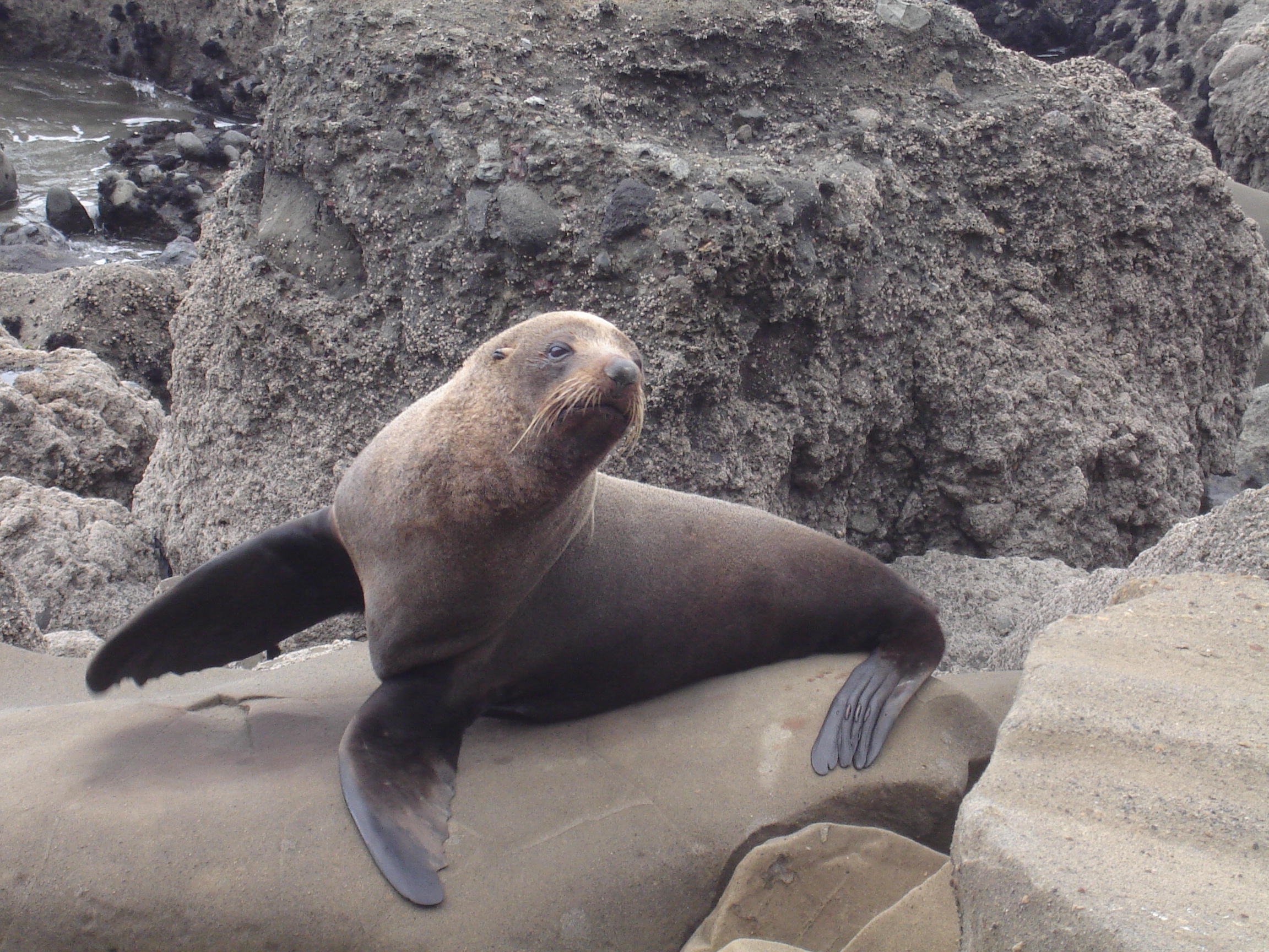
'New Zealand Fur Seal at Maori Bay, south of Muriwai Beach'
-
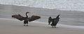
'Shags at Maori Bay'
-

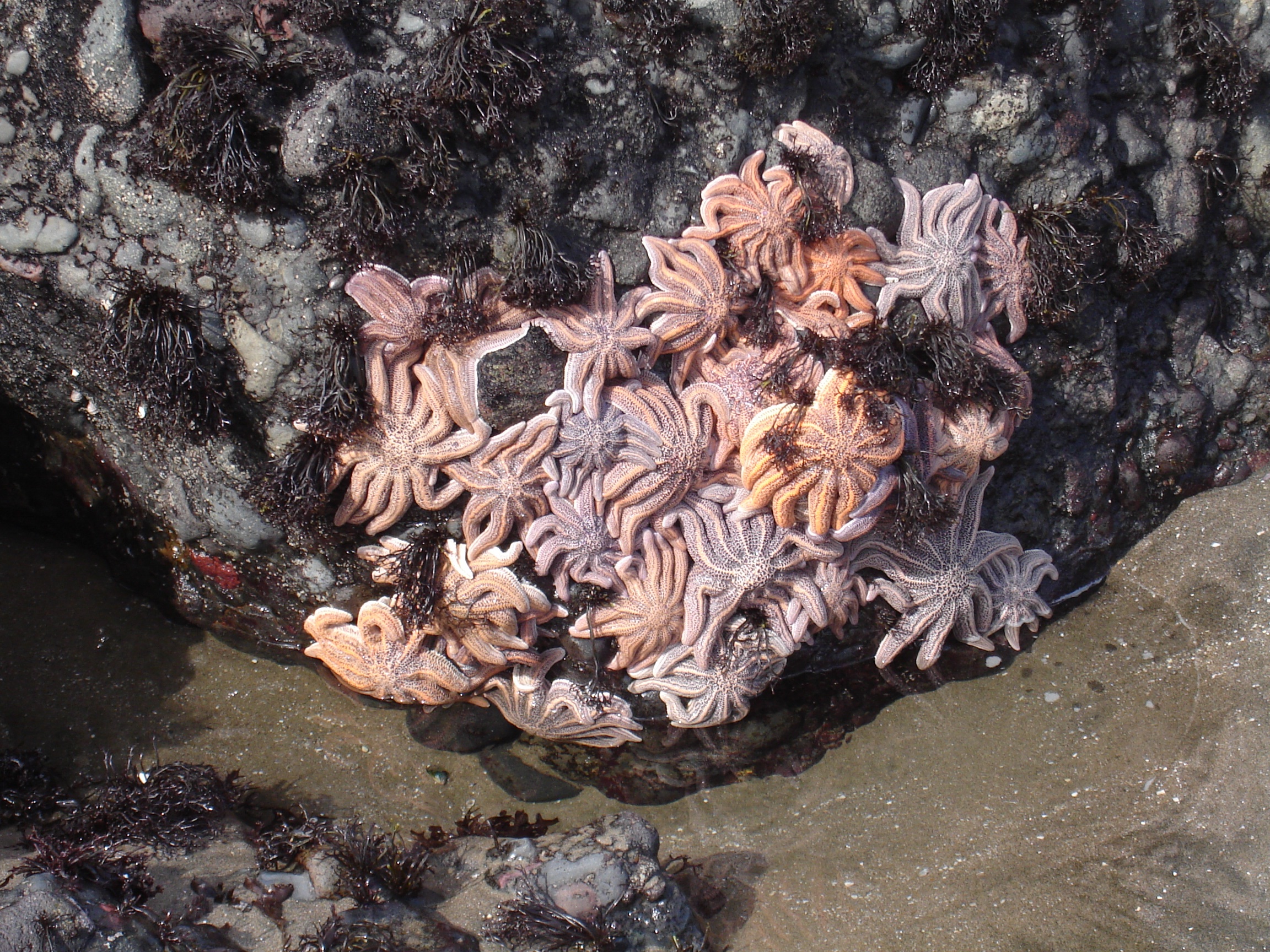
'Starfish at Maori Bay'
External links
References
Categories:- Auckland Region
- Coastline of New Zealand
- Surfing locations in New Zealand
- Visitor attractions in Auckland
- Lookouts in Auckland
- Beaches in Auckland


Wikimedia Foundation. 2010.