- Sheringham Park
Geobox|Garden
name =Sheringham Park
category = landscape park and gardens

image_caption = Sheringham Park,The Rhododendron gardens
symbol = NT Logo.pngEngland
state =Norfolk
region =East of England
district =North Norfolk
municipality =Sheringham
location =
elevation =
prominence =
lat_d =
lat_m =
lat_s =
lat_NS =
long_d =
long_m =
long_s =
long_EW =
length =
length_orientation =
width =
width_orientation =
height =
depth =
volume =
area =
author =
style =
material =
established =July 1812
date =
owner = in the care of the National Trust
public =
visitation =accessible to the public with a fee
visitation_date = All year round
access =
free = | free_type =
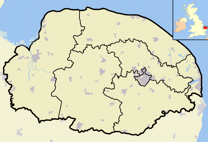
map_caption =Sheringham Park withinNorfolk
map_background =
map_locator =
map_locator_x =61
map_locator_y = 7
website = [http://www.nationaltrust.org.uk/main/w-vh/w-visits/w-findaplace/w-sheringhampark.htm National Trust]
footnotes =Sheringham Park is a landscape park and gardens near the town of
Sheringham ,Norfolk ,England Ordnance Survey (2002). "OS Explorer Map 252 - Norfolk Coast East". ISBN 0-319-21888-0.] . The park surroundsSheringham Hall and has a grid reference of gbmappingsmall|TG133416. The Hall is privately occupied, but Sheringham Park is in the care of the National Trust and open to visitors.The park was designed by
Humphry Repton [Landscapes of Taste: The Art of Humphry Repton's Red Books (Classical Tradition in Architecture): The Art of Humphry Repton's Red Books (Classical Tradition ... Books (Classical Tradition in Architecture) (Hardcover) ISBN 10 0415415039 ] who presented his proposals in July 1812 in the form of one of his Red Books. He described Sheringham as his Cquote| favourite and darling child in Norfolk|10px|10px| Humphry Repton Abbot and Charlotte Upcher bought the Estate in1811 , and successive generations of the Upcher family did much to develop the estate, the Hall and the park, as well as building aschool .There are fine mature
woodland s and a large variety ofrhododendron s andazalea s. In the early 20th century Henry Morris Upcher obtained Rhododendron seeds of various types fromplantsman Ernest "Chinese" Wilson. Many other species of tree and shrub are represented in the garden,including fifteen kinds ofmagnolia , large specimenpieris . Among the other trees aremaples , acers,styrax ,eucryphia , Pocket Handkerchief Treedavidia involucrata and a fine example of the Snowdrop TreeHalesia . Several overlook towers provide good views over the gardens, and of the nearby coast and surrounding countryside. A gardentemple was constructed in the Park in1975 .Location
Sheringham Park is located 2 miles south west of the coastal town of
Sheringham , 5 miles west ofCromer and 6 miles east ofHolt . The main entrance is at the junction of theA148 Cromer to Holt road and the B1157 road toUpper Sheringham . TheNorfolk Coastal Path passes through the property. A car park, cafe and visitors centre are near the main entrance. Waymarked paths through the estate link the gardens and visitors centre to the coast, and to theWeybourne station on theNorth Norfolk Railway , a preserved steam railway. Pedestrian access to the park from the village ofUpper Sheringham which is adjacent to the park.Visitor centre
The visitor centre is located within Wood Farm Barn at the southern end of the park, the barn also houses an exhibition the history and the wildlife of Sheringham Park. There is a reception desk and information kiosk. From the reception there are hearing loops available. There are also wheelchairs and powered mobility vehicles available at no charge although it is necessary to take a small test before use. The refreshment kiosk is also at Wood Farm Barn.
The exhibition area explores the life and work of the landscape architect
Humphrey Repton and also of the Upcher family who owned the park. There are several examples of Humphrey Repton’s red book of plans for the designs of the park. Part of the exhibition area has an area dedicated to the wildlife and nature of the park with identification games and interactive displays.Gallery
Sheringham Hall
The hall's 71-year lease is currently for sale at £2.35 million. [ [http://www.countrylife.co.uk/news/article/174617/Sheringham_Hall039s_lease_for_sale.html Country Life article] Retrieved
January 19 2008 ]References
External links
* [http://www.nationaltrust.org.uk/main/w-vh/w-visits/w-findaplace/w-sheringhampark.htm Sheringham Park information at the National Trust]
* [http://www.greenbuildingstore.co.uk/case-ecoplus8.php Eco-friendly visitor centre]Further reading
* Repton, Humphry,Sheringham Red Book, facsimile edition, Basilisk Press, 1976
Wikimedia Foundation. 2010.