- Mezőlak
-
Mezőlak Location of Mezőlak
 Mezőlak
Coordinates: 47°19′53″N 17°22′13″E / 47.33133°N 17.37026°ECoordinates: 47°19′53″N 17°22′13″E / 47.33133°N 17.37026°E Country  Hungary
County Veszprém Area – Total 21.57 km2 (8.3 sq mi) Population (2004) – Total 1,071 – Density 49.65/km2 (128.6/sq mi) Time zone CET (UTC+1) – Summer (DST) CEST (UTC+2) Postal code 8514 Area code(s) 89 Mezőlak is a village in Veszprém county, Hungary.
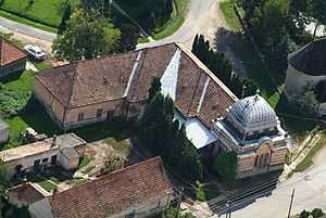 Mezőlak from above
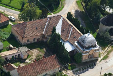
External links
Categories:- Veszprém county geography stubs
- Populated places in Veszprém county

Wikimedia Foundation. 2010.