- Bulolo
Infobox PNG Place
type = town
name = Bulolo
othername =
province = mor
llg = Wau/Bulolo Urban
dot_x = 93
dot_y = 91
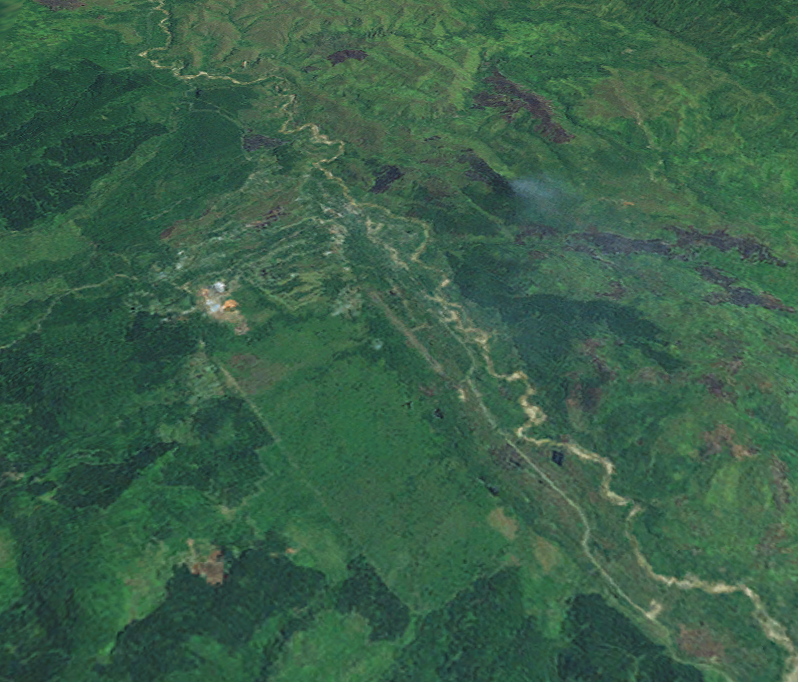
caption = A satellite image of Bulolo
pop = 9,500
popdate = 2005 est.
poprank = 17th
est = ~1930
postcode =
elevation = 1080
coor = coord|7|12|S|146|39|E|region:PG_type:city
maxtemp =
mintemp =
rainfall = 1600
dist1 = 43
location1 = Lae
dir1 = south
dist2 = 32
location2 = Wau
dir2 = north-westBulolo is a town in the
Morobe Province ofPapua New Guinea . It was once an importantgold dredging centre in the formerTerritory of New Guinea , situated on theBulolo River , a tributary of theMarkham River , about 32 km (20 mi) north-west ofWau .Currently, the town's major industries includes
forestry , with the PNG Forest Products Limited the main enterprise. There is also an Insect Farming and Trading Agency, which promotes insect farming and conservation.History
Dredging for gold was began on March 21, 1932, with the whole of the 1,100 ton dredge (No 1 dredge) transported to the field in pieces by air from the port city of
Lae . The largest single part was the main tumbler shaft, 12 feet long and weighing 6,870 pounds. Construction of No 2 dredge was underway before No 1 dredge was completed. In all eight dredges were constructed and operated, the last going into operations in 1939.Dredging operations were interrupted by the war in
1941 , and were not resumed until six years later. Gold production in1952 amounted to 122,035 ounces, valued at £1,311,241, and constituted 77 per cent of the gold produced in New Guinea in that year. As the gold petered out the dredges were abandoned and they can still be found along the Bulolo river bed.Bulolo was the headquarters of a company formed to exploit the
pine forests that grow in the valley. In conjunction with the milling of timber an extensive scheme of re-afforestation was undertaken to ensure perpetuity of supplies.Since the 1950s Bulolo has been connected to Lae by a vehicular road along the Bulolo and
Markham River valleys.Further reading
* - The story of the great gold dredging endeavour.
* - An excellent resource where Sinclair acknowledges and credits the research and recollections of Ian Grabowsky, a prominent figure in early aviation in both Papua New Guinea and Australia.External links
* [http://www.unitech.ac.pg/Unitech_General/Departments/Forestry/Bulolo/index.htm Bulolo University college]
* [http://www.ifta.com.pg Insect Farming and Trading Agency]
Wikimedia Foundation. 2010.