- Mount Sugartop
-
 Mount Sugartop
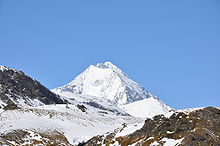
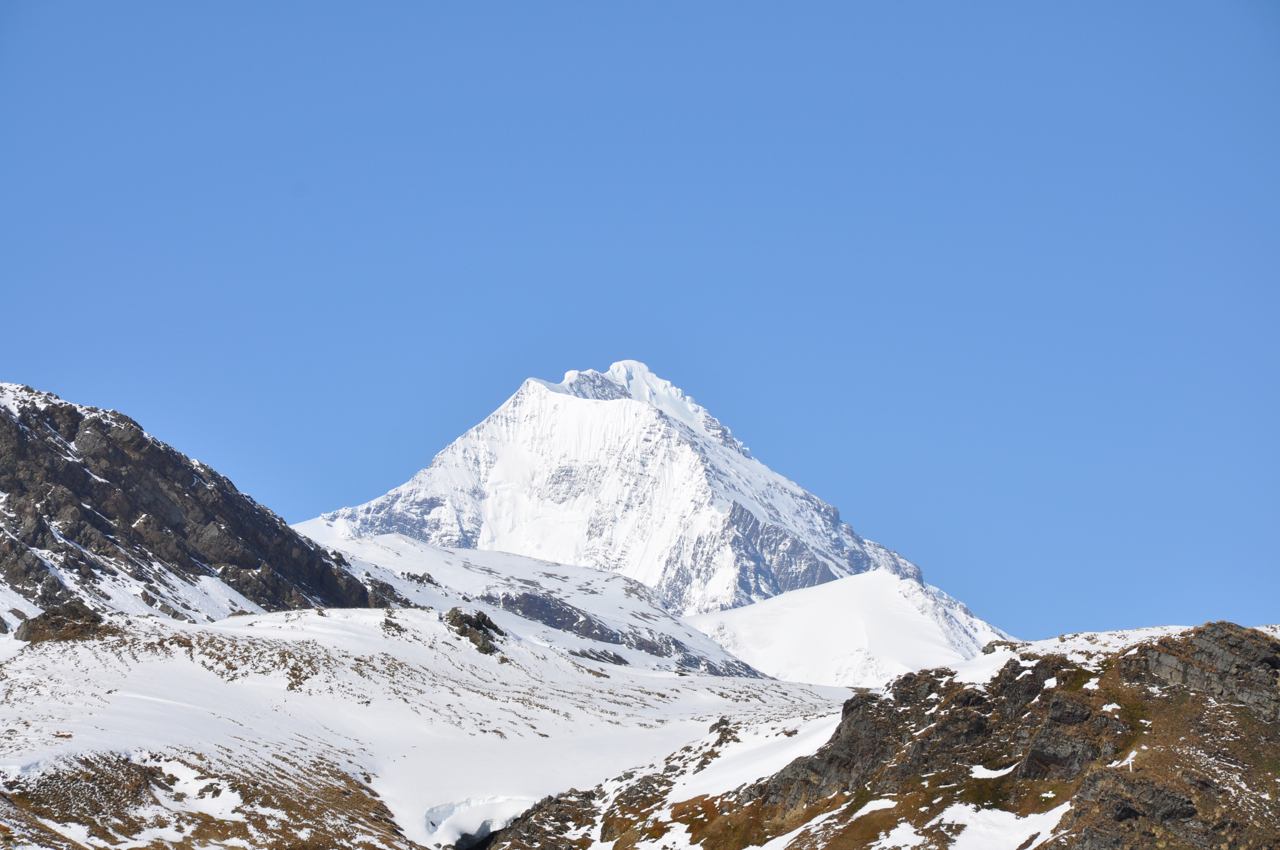
Mount Sugartop (54°22′S 36°38′W / 54.367°S 36.633°W) is a prominent, partly snow-covered mountain, 2,325 m, standing 5 miles (8 km) northwest of Mount Paget in the Allardyce Range of South Georgia. The name "Sugarloaf Peak" has appeared on maps for this feature for many years, but the SGS, following a survey of South Georgia in 1951-52, reported that the name Mount Sugartop is well established locally for this mountain. This latter name is approved on the basis of local usage.
 This article incorporates public domain material from the United States Geological Survey document "Mount Sugartop" (content from the Geographic Names Information System).Categories:
- Mountains and hills of South Georgia
- South Georgia and the South Sandwich Islands geography stubs
Wikimedia Foundation. 2010.