North Taranaki Bight

North Taranaki Bight
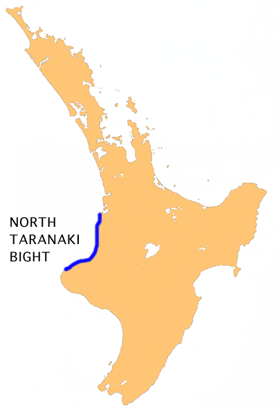
Location of North Taranaki Bight

The North Taranaki Bight is the name given to the large bay which extends north and east from the north coast of Taranaki in New Zealand's North Island. The name is echoed by the South Taranaki Bight to the south of Cape Egmont.

As with its southern counterpart, the size of the bight depends to a large extent on the source referring to it. Strict definitions refer to it stretching from the mouth of the Waitara River 10 kilometres northeast of New Plymouth to the mouth of the Mokau River. More loose descriptions of the bight refer to it extending as far north as Tirua Point, 50 kilometres southwest of Te Kuiti, or even to Albatross Point, close to the entrance to Kawhia Harbour.

Coordinates: 38°42′S 174°15′E / 38.7°S 174.25°E / -38.7; 174.25


Wikimedia Foundation. 2010.

Игры ⚽ Нужно сделать НИР?

Look at other dictionaries:

  • North Taranaki Bight — 38.7174.25 Koordinaten: 38° 42′ 0″ S, 174° 15′ 0″ O …   Deutsch Wikipedia

  • South Taranaki Bight — The South Taranaki Bight is the name given to the large bay which extends south and east from the south coast of Taranaki in New Zealand s North Island. With more symmetry than poetry or originality, it is matched by the North Taranaki Bight to… …   Wikipedia

  • South Taranaki Bight — Lage der South Taranaki Bight Die South Taranaki Bight ist eine große Bucht, die sich südlich und östlich der Küste Taranaki auf der Nordinsel Neuseelands erstreckt. Das Gegenstück dazu ist die North Taranaki Bight nördlich von Cape Egmont. Die… …   Deutsch Wikipedia

  • Taranaki — is a region in the west of New Zealand s North Island and is the 10th largest region of New Zealand by population [cite web|url=http://www.stats.govt.nz/census/census outputs/quickstats/snapshotplace2.htm?id=1000007 type=region… …   Wikipedia

  • Taranaki (Region) — Taranaki Karte Basisdaten Hauptstadt …   Deutsch Wikipedia

  • Taranaki — ▪ region, New Zealand       regional council, west North Island, northern New Zealand. It is centred on the Taranaki Peninsula and extends north to the Mokau River and south and east to include the Waitotara River. Its topography is marked by… …   Universalium

  • Taranaki — 39°18′S 174°8′E / 39.3, 174.133 …   Wikipédia en Français

  • Bight (geography) — In geography, bight has two meanings. A bight can be simply a bend or curve in any geographical feature mdash;usually a bend or curve in the line between land and water. Alternatively, the term can refer to a large (and often only slightly… …   Wikipedia

  • Region Taranaki — Taranaki Karte Basisdaten Hauptstadt: Stratford …   Deutsch Wikipedia

  • Manganui River (Taranaki) — For other New Zealand rivers called Manganui, see Manganui River. Manganui River Origin Taranaki/Mount Egmont Mouth Waitara River Basin countries New Zealand Length 39 kilometres (24 mi) …   Wikipedia

Share the article and excerpts

Direct link
Do a right-click on the link above
and select “Copy Link”