- Historic places in Framingham, Massachusetts
Infobox City
official_name = Framingham, Massachusetts
motto =
image_caption = Framingham Historical Society Administrative Office
image_
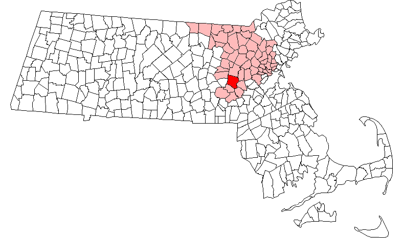
map_caption = Location in Massachusetts
subdivision_type = Country
subdivision_name =United States
subdivision_type1 = State
subdivision_name1 =Massachusetts
subdivision_type2 = County
subdivision_name2 = Middlesex County
established_title = Settled
established_date = 1650
established_title2 = Incorporated
established_date2 = 1700
established_title3 =
established_date3 =
government_type =Representative town meeting
leader_title =
leader_name =
leader_title1 =
leader_name1 =
area_total_km2 = 68.5
area_total_sq_mi = 26.4
area_land_km2 = 65.1
area_land_sq_mi = 25.1
area_water_km2 = 3.4
area_water_sq_mi = 1.3
population_as_of = 2000
settlement_type = Town
population_total = 66910
population_density_km2 = 1028.4
population_density_sq_mi = 2663.6
elevation_m = 50
elevation_ft = 165
timezone = Eastern
utc_offset = -5
timezone_DST = Eastern
utc_offset_DST = -4
latd=42 |latm=16 |lats=45 |latNS=N
longd=71 |longm=25 |longs=00 |longEW=W
website = http://www.framinghamma.gov/
postal_code_type = ZIP code
postal_code = 01701, 01702, 01703, 01704, 01705
area_code = 508 / 774
footnotes =List of National Register sites
Framingham has several properties in the register: [ [http://www.cr.nps.gov/nr/ National Register of Historic Places] ]
* Concord Square Historic District — Park, Concord, and Kendall Sts., and Union Ave. (added
April 10 ,1983 )
* First Baptist Church — 1013 Worcester Rd. (addedMay 9 ,1980 )
* Framingham Center Common Historic District — Roughly centered on Framingham Center Common, between MA 9 and I-90 (addedNovember 25 ,1990 )
* Framingham Railroad Station — 417 Waverly St. (addedFebruary 17 ,1975 )
* Framingham Reservoir No. 1 Dam and Gatehouse — E end of Framingham Reservoir No. 1, off Winter St. N of Long Ave. (addedFebruary 18 ,1990 )
* Framingham Reservoir No. 2 Dam and Gatehouse — Between Framingham Reservoirs Nos. 1 and 2, W of jct. of Winter and Fountain Sts. (addedFebruary 18 , [1990)
* Framingham Reservoir No. 3 Dam and Gatehouse — SE end of Framingham Reservoir No. 3, off MA 9/30 (addedFebruary 18 ,1990 )
* Irving Square Historic District — Irving Square, Waverly, South, Columbia, Irving, Gordon and Hollis Sts. (addedDecember 30 ,1982 )
* Lake Cochituate Dam — NW side of Lake Cochituate (addedFebruary 18 ,1990 )
* Moses Ellis House — 283 Pleasant St. (addedDecember 29 ,1983 )
* Paul Gibbs House — 1147 Edmands Rd. (addedApril 10 ,1983 )
* Saint John's Episcopal Church — Maynard Rd. and Church St. (addedFebruary 12 ,1990 )
* Saxonville Historic District — Roughly, along Elm, Danforth, Central, Water and Concord Sts. (addedSeptember 20 ,1992 )
* Sudbury Aqueduct Linear District — Along Sudbury Aqueduct from Farm Pond at Waverly St. to Chestnut Hill Reservoir (addedFebruary 18 ,1990 )
* Whit's Diner — 184A Fountain St. (added 2003)Places not listed on the National Register
* Framingham Civic League — Located downtown, part of the Cultural Triangle with the library, Nevins Hall, the Danforth Museum, and the Performing Arts Center of Metrowest. Historic theatre hosts performances, bingo, ESL classes, etc.
References
ee also
*
Framingham State College
*Shoppers World
*Knox Trail Mapit-US-cityscale|42.299795|-71.426627External links
* [http://www.nationalregisterofhistoricplaces.com/MA/Middlesex/state.html National Register official listings for Middlesex County]
Wikimedia Foundation. 2010.