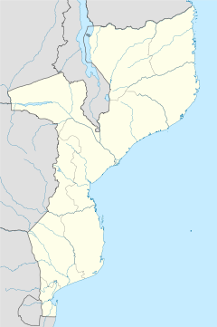
- Cobue
-
Cobue Coordinates: 12°8′38″S 34°45′31″E / 12.14389°S 34.75861°ECoordinates: 12°8′38″S 34°45′31″E / 12.14389°S 34.75861°E Country  Mozambique
Provinces Niassa Province District Cobue is a small lake-side town in Niassa Province, in north-west Mozambique. It is located on the shore of Lake Niassa.
Cobue serves as the gateway to Mozambique from Malawi. It is located 10 km from Likoma Island offshore. The town is important for boat trippers and serves as a resting point for the Ilala ferry between Likoma and Metangula, 75 km away which is connected via a dilapidated road which makes travelling by boat more common.
Contents
History
The Portuguese left a legacy in Cobue, but there was still only a 5% literacy rate among black people when they left after the war of independence in 1975. After independence there was a substantial increase in secondary school enrolment but the economy remained poor, with the Portuguese pulling out their capital and their skills, and then a few years of flooding and drought. Today however the little town is mainly run by tourism from Niassa.
The town of Cobue has an old ruined Roman Catholic church and school. Although the church was only built in the 1950s, it was burned down during the civil war for independence, which lasted from the early 1960s to 1974. During wartime the school served as a base for Frelimo and today there is still a danger from landmines on the grounds. The local diocese didn’t have the funds to reroof the church, and it is still used today, one of the rooms tidied with chairs neatly in a row, with table for an altar was now used for weekly mass in Cobue.
The last attack on Cobue was in May 1986 during the Mozambican Civil War, when Frelimo forces occupied the coastline and came under attack from the RENAMO, of the Mozambique National Resistance Organisation, a military unit of dissident Mozambican soldiers controlled by the Rhodesian army. On a day that the Frelimo were celebrating a wedding, Renamo forces attacked Cobué and killed many people. The Renamo rebels had a reputation for violence, and schools and hospitals were razed and some educated professionals in the town such as teachers and doctors were executed and were victim to savage acts.
Manda Wilderness Reserve
Nearby Cobue is the Manda Wilderness Reserve, a concservation area alongside Lake Niassa which is privately funded by the nearby Nkwichi Lodge and the Government of Sweden who has interests in the area which whilst opening up the area to tourists, they work at promoting sustainable development in the area, The reserve has a notable population of birds, ranging from Ospreys, palm nut vultures to owls and eagles. The reserve has a dhow named Miss Nkwichi operated by the Nkwichi Lodge which offers trips out onto Lake Niassa.[1]
References
- ^ Fitzpatrick, Mary. Mozambique. Lonely Planet Publications. pp. 224. ISBN 9781740591881. http://books.google.com/books?vid=ISBN1740591887&id=zrv4RUwCfEUC&pg=PA150&lpg=PA150&ots=ToHKPetJtc&dq=cobue&sig=r3lfcplyOj7DvenzGVieutVvZ9E. Retrieved 2007-04-23.
External links
Categories:- Populated places in Mozambique
Wikimedia Foundation. 2010.

