- Mokoia Island
-
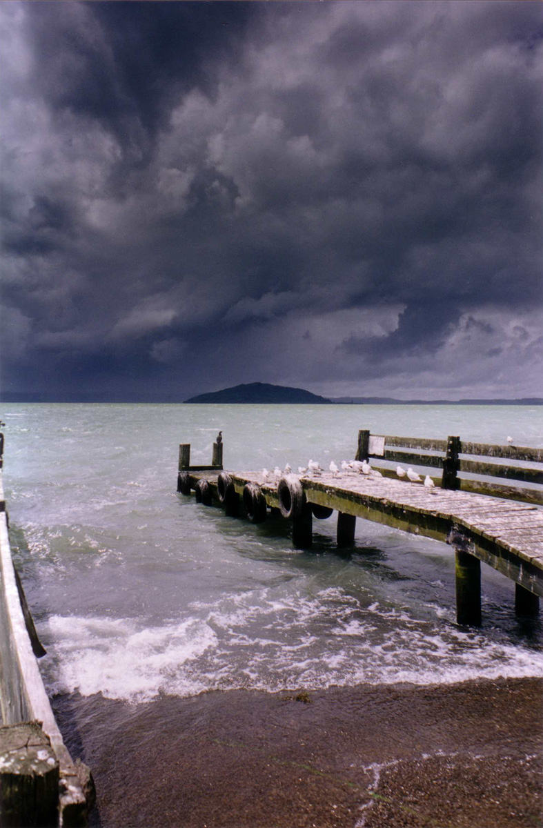
 Mokoia under stormy skies, seen from the south
Mokoia Island is located in Lake Rotorua in New Zealand. It has an area of 1.35 square kilometres. The island is a rhyolite lava dome, rising to 180 metres above the lake surface. It erupted after the Rotorua caldera was formed, tapping a different magma source. The foreshores of the island have geothermal springs with hot spring water forming the Hinemoa pool, known to locals as Waikimihia.
Mokoia Island is privately owned by local Māori iwi, who run it in conjunction with the New Zealand Department of Conservation. It is a bird sanctuary and access is limited to tour parties only. It is home to several rare species, including the kokako, the kiwi, and a breeding population of the endangered Saddleback[1].
The island is also the location of regular Mau rākau training camps in the Maori martial art of taiaha.
Contents
Hinemoa and Tutanekai
The island is sacred to Māori of the Arawa iwi, and is the location of one of the most famous legends of New Zealand, that of Hinemoa and Tutanekai, which has parallels with the classical Greek tale of Hero and Leander, but with a happier ending.
According to legend, the two lovers were forbidden to marry, and Hinemoa's father Umukaria, a chief from the shores of the lake, ordered that she not be allowed to travel by canoe to Tutanekai's tribal village on the island. Hinemoa decided to swim 3.2 kilometres across the lake to the island, guided by the sound of Tutanekai's flute-playing. For flotation she wrapped hue or gourds around her and swam her way to the island[2].
See also
References
External links
Categories:- Bay of Plenty Region geography stubs
- Islands of New Zealand
- Taupo Volcanic Zone
- Islands in lakes
- Rotorua
- Māori mythology
- Māori culture
Wikimedia Foundation. 2010.