- Volchya River (Vuoksi tributary)
Infobox River
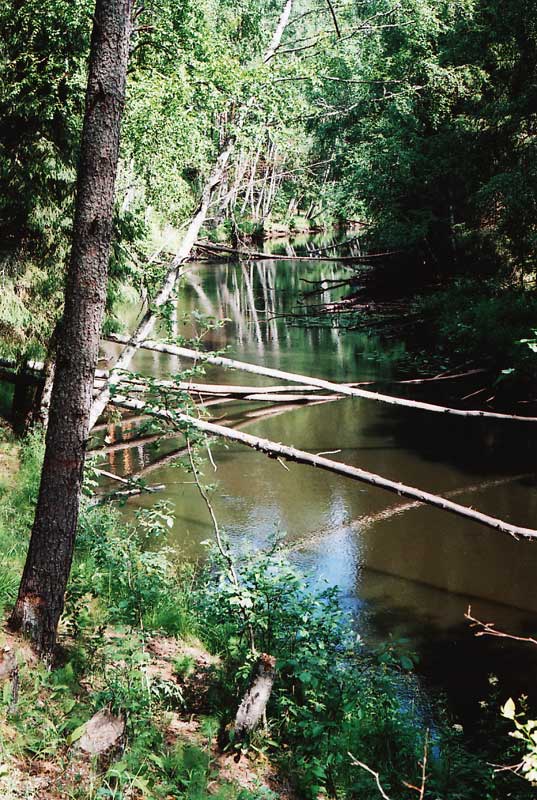
river_name =Volchya River
caption =
origin = Lembolovo Heights
mouth =Vuoksi River not far from Losevo (coord|60|39|50|N|30|00|12|E|type:T|display=inline)
basin_countries =Russia
length = 52km (32 mi)
elevation =
mouth_elevation = 7 m (23 ft)
discharge =
watershed = in some places)The river is crossed by the Sosnovo ( _fi. Rautu) – Pervomayskoye ( _fi. Kivennapa) road on Lembolovo Heights, Sosnovo – Borisovo ( _fi. Nurmijärvi) – Michurinskoye ( _fi. Valkjärvi) road at Razdolye ( _fi. Mäkrälä) and by the Losevo ( _fi. Kiviniemi) – Yagodnoye ( _fi. Vaalimo) road at the lower portion of the river.
Since 1928 there is a little
hydroelectric plant on the river not far fromPetäjärvi (now Petrovskoye), which was the largest private hydroelectric facility in pre-Winter War Finland (owned by Leonard Sääksjärvi). [http://kannas.nm.ru/priozersk_district2.htm]The entire river was a boundary between the
Kingdom of Sweden andNovgorod Republic as defined in 1323 in theTreaty of Nöteborg . The higher reaches of Saijanjoki (Volchya) to the south of Tungelmanjoki (Smorodinka) and Tungelmanjoki itself constituted part of theRussia -Finland border in 1811-1940. Now that stretch of Volchya River divides Priozersky and Vyborgsky District fromVsevolozhsky District , while Smorodinka marks another part of the boundary betweenPriozersky District andVsevolozhsky District .The river was renamed from Saijanjoki to Volchya (lit. "Wolf River") in 1948, just like the vast majority of other Finnish
hydronym s andtoponym s on the territories ceded by Finland to the Soviet Union as a result of theContinuation War .External links
* [http://ktmz.boom.ru/library/wwte/len47/karelsk/vuoksa.html#volch Река Волчья]
Wikimedia Foundation. 2010.