- Iton
Infobox River | river_name = Iton
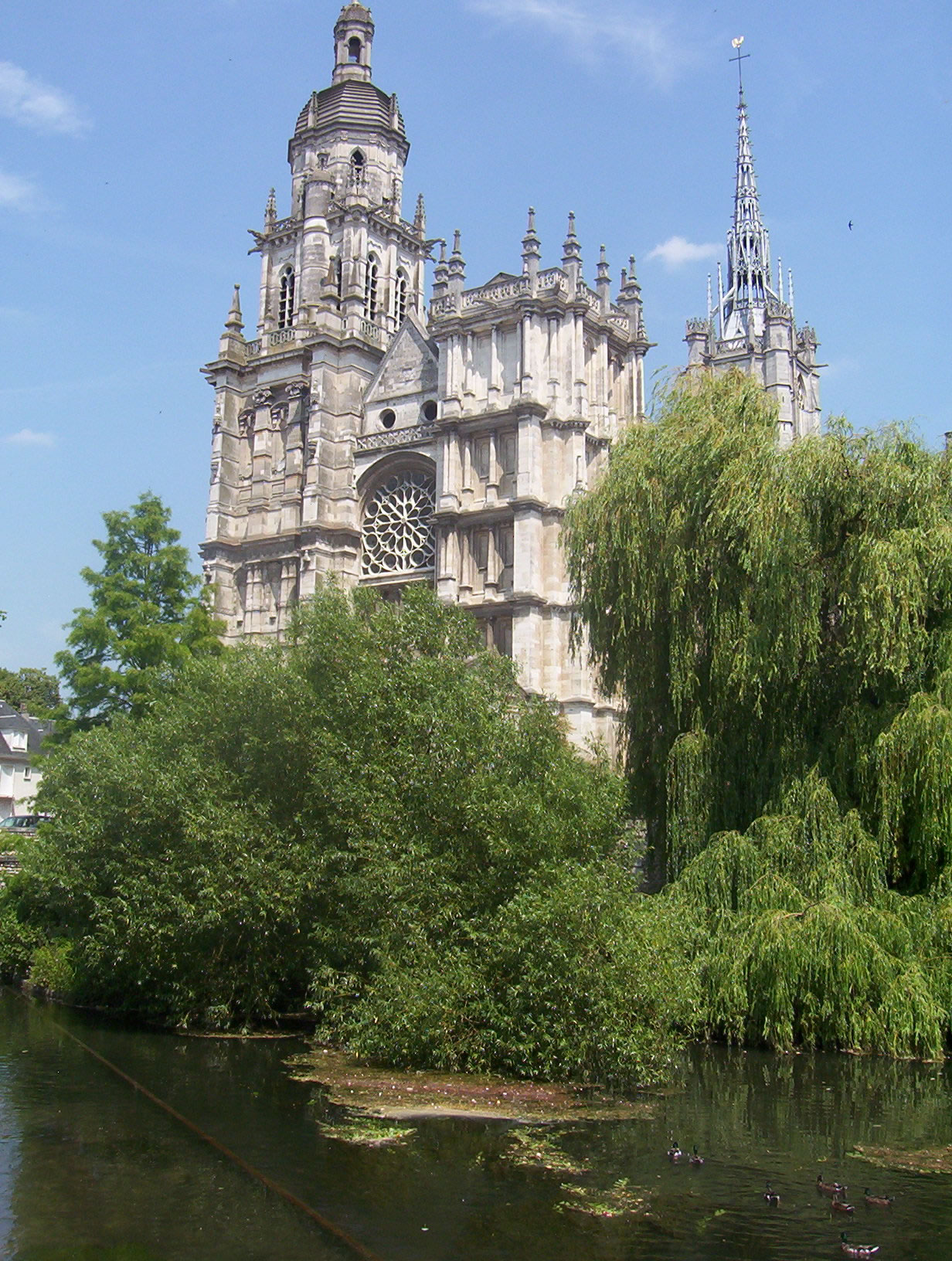
caption = The Iton in Évreux
origin =Normandy
mouth =Eure River
coord|49|10|29|N|1|11|11|E|name=Eure-Iton|display=inline,title
basin_countries =France
length = 132 km
elevation =
discharge =
watershed = 1,300 km²The Iton is a river inNormandy ,France , left tributary of theEure River . Its source is nearMoulins-la-Marche . For about 10 km betweenOrvaux andGlisolles , it disappears and pursues a subterranean course.The Iton flows through the following "départements" and towns:
*
Orne :Crulai ,Chandai
*Eure :Bourth ,Damville ,La Bonneville-sur-Iton ,Évreux Its length is 132 km and it flows into the Eure in
Acquigny , south ofLouviers .Its basin (1,300 km²) covers 134 communes and is subject to a "schéma d'aménagement et de gestion des eaux" (water management scheme).
References
*http://www.geoportail.fr
* [http://sandre.eaufrance.fr/app/chainage/courdo/htm/H43-0400.php?cg=H43-0400 The Iton at the Sandre database]External links
* [http://www.sitesage.org/sn.htm Avancement des SAGE du bassin Seine-Normandie SAGE on the Seine-Normandy basin] (in French)
Wikimedia Foundation. 2010.