- Lluta River
Infobox River
river_name = Lluta River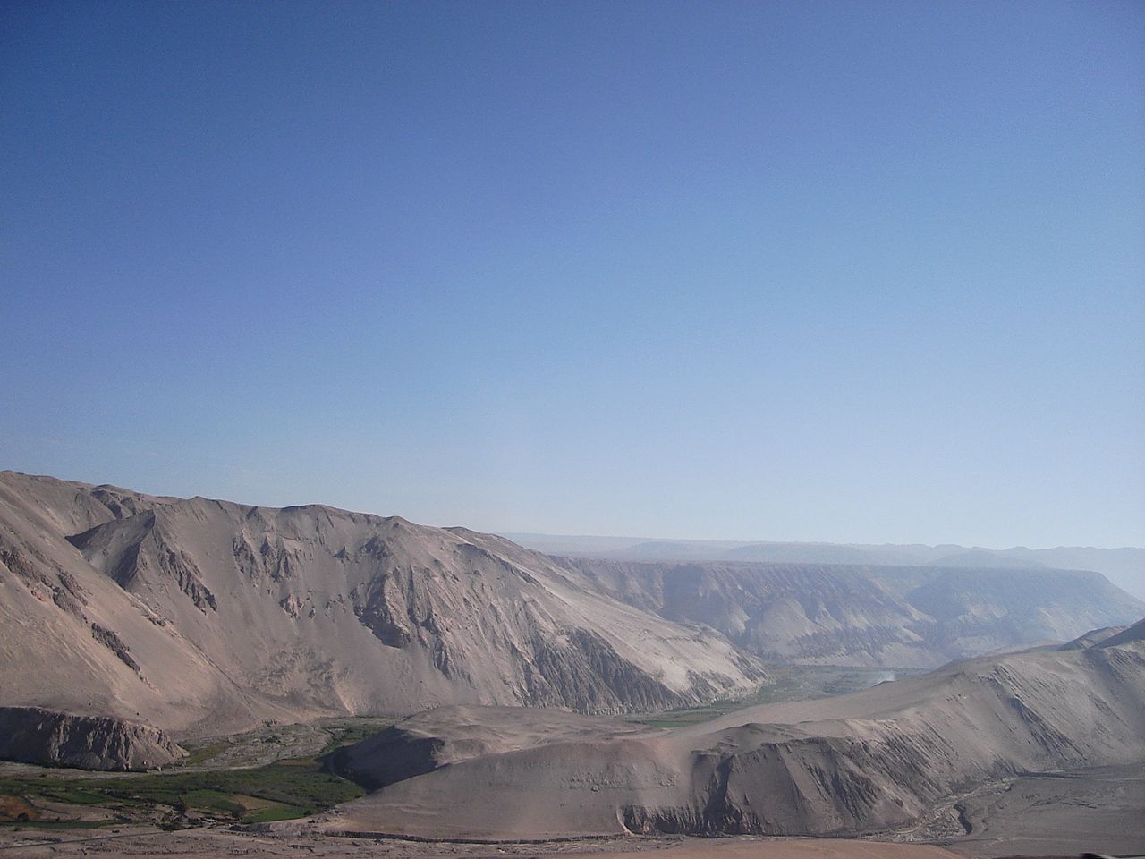
caption = Lluta Valley
origin =
mouth =Pacific Ocean
basin_countries =Chile
length = 147 km
elevation = 3,900 m
discharge = 2.3 m³/s
watershed = 3,400 km²The Lluta River is a river located in the northern part of the
Arica and Parinacota Region ofChile . Its headwaters are on the western flanks of theAndes of theParinacota Province , just a few kilometers south of the border withPeru , and empties intoPacific Ocean about 4 km north of the city of Arica.The Lluta originates at the confluence of the "Quebrada Caracarani" (which rises from the slopes of the
Tacora volcano) and the "Azufre River" at an elevation about 3,900 m asl. Along its first 36 km, the river flows southeast and then begins slowly to turn towards the west. In its descent to the valley floor, the river starts to run through a canyon carved by the same river in Rhyolite tuffs and other sediments scarcely joined.In the vicinity of "Socoroma", the river turns direct west and just past the canyon terminus, the river begins to widen. In "Chironta", about 70 km from the sea, appear the first farms, whose foods are of a great importance for the consume of local people. Finally, the river empties into Pacific Ocean at an extensive beach just a few kilometers of Arica.
The hydrologic regime of the river basin is rain-dominated. The increase of its water volume occurs mainly in January and February, as a consequence of the phenomenon known as
Bolivian Winter .References
*This article draws heavily on the corresponding article in the Spanish-language Wikipedia, accessed
March 31 ,2007 .
* Cite book
author = Niemeyer, Hans; Cereceda, Pilar
title = Geografía de Chile — Tomo VIII: Hidrografía
year = 1983
edition= 1º edición, Santiago de Chile: Instituto Geográfico Militar
Wikimedia Foundation. 2010.