- Lake Monowai
-
Lake Monowai 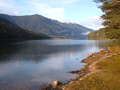
Location Southland District, Southland Region, South Island Coordinates 45°52′S 167°27′E / 45.867°S 167.45°ECoordinates: 45°52′S 167°27′E / 45.867°S 167.45°E Primary outflows Monowai River Basin countries New Zealand Surface area 31 km² Surface elevation 180 m  Lake Monowai Panorama
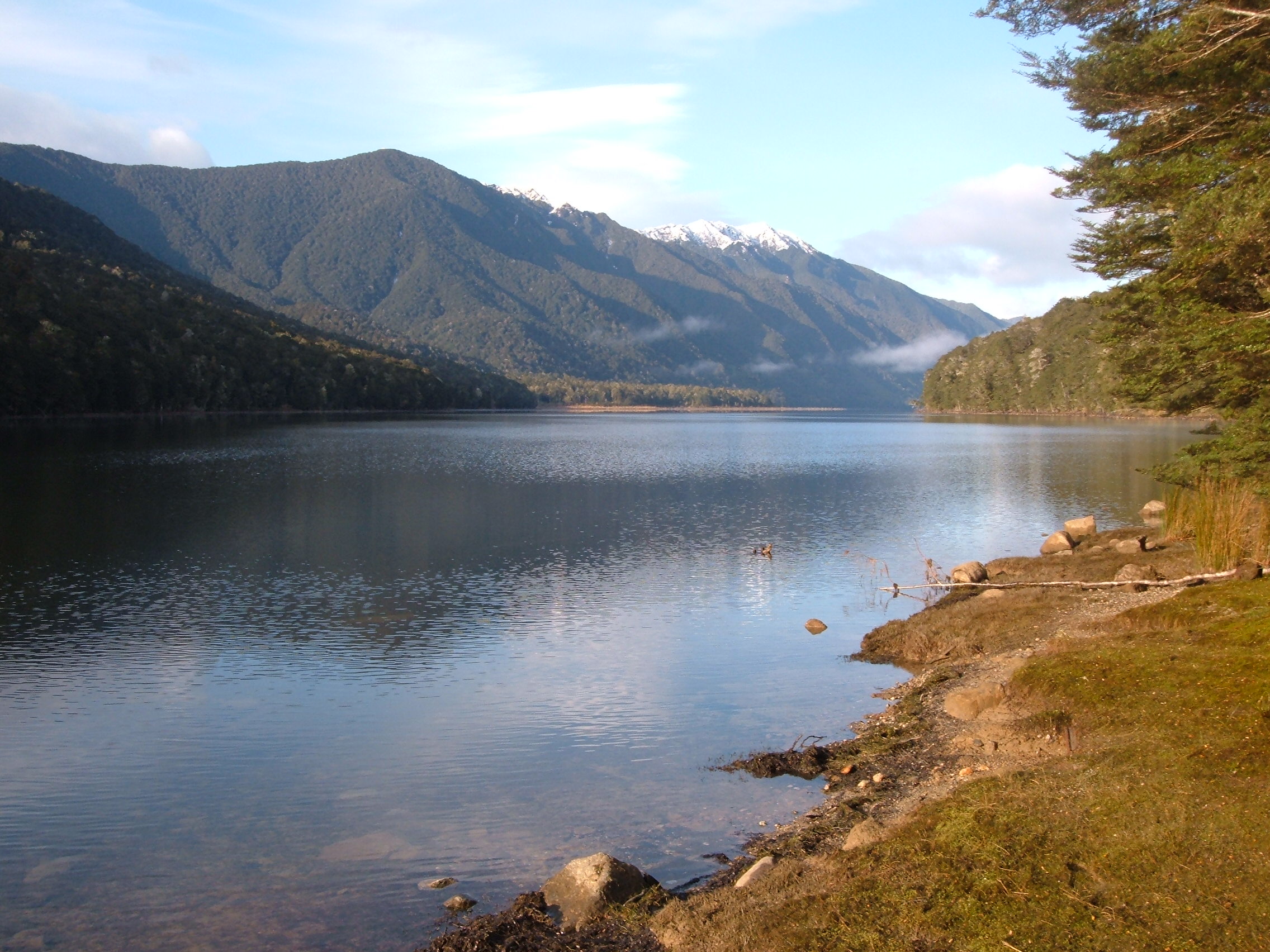
Lake Monowai is a large lake (31 km²) in the southern part of Fiordland National Park, in New Zealand's South Island, 120 kilometres northwest of Invercargill. At an altitude of 180 metres in a long curved valley, the lake appears on maps shaped like a letter "U". The western part of the lake is set in beautiful mountainous country. It is drained in the northeast by the short Monowai River, which enters the Waiau River eight kilometres to the northeast.
Power station
Main article: Monowai Power StationOne of the South Island's oldest hydroelectric stations is powered by the waters of the Monowai. It is located at the junction of the Waiau and Monowai Rivers and was opened in 1925.
Plans to raise the level of the lake to create more hydroelectric power were shelved by the Labour government of Norman Kirk in the 1970s, and an independent body, the Guardians of Lake Manapouri, Monowai, and Te Anau was created to oversee management of the lake levels (more information at Manapouri Power Station).
References
Categories:- Fiordland
- Lakes of New Zealand
- Southland Region
Wikimedia Foundation. 2010.