- Mount Mulu
-
Mount Mulu 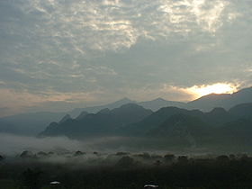
Elevation 2,376 m (7,795 ft) Listing Ultra
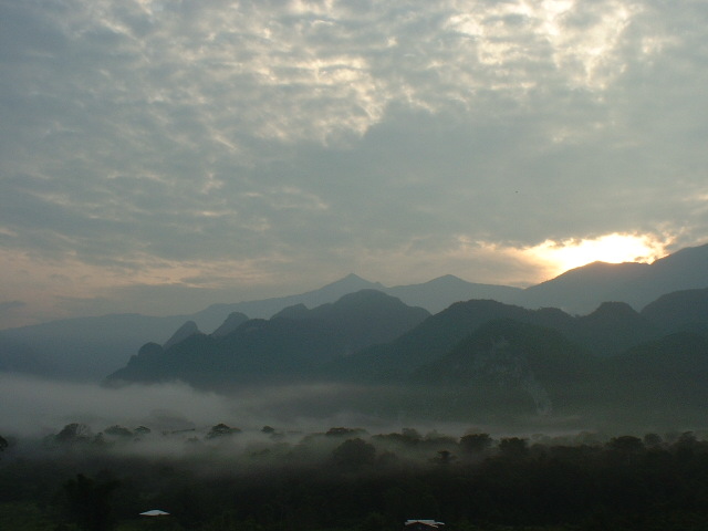
Spesial RibuLocation Location Sarawak, Borneo Mount Mulu (Malay: Gunung Mulu) is a sandstone and shale mountain. At 2376 m, it is the second highest mountain in the state of Sarawak, after Mount Murud. It is located within the boundaries of Gunung Mulu National Park, which is named after it.
The Mulu Park provides for guided hikes up the mountain. The usual schedule is a 4D/3N hike. There are forest huts along the route at Camp 1, Camp 3 and Camp 4 (there is no Camp 2). These forest huts provide shelter, cooking facilities (stove, cooking utensils, cutlery), toilets, and water (collected rainwater).
The elevation and distance of the camps from Mulu Park HQ are approximately:
- Camp 1: 200 m asl, 5.5 km
- Camp 3: 1300 m asl, 12 km
- Camp 4: 1800 m asl, 18.5 km
Each of the camps is near a helipad for emergency evacuations and also for supplies.
The trail to Mount Mulu is clear and well-marked with red and white markers, and goes through a variety of ecosystems, from lowland dipterocarp forest to montane vegetations. The mountain is notable for its pitcher plant diversity. Five species have been recorded from Mount Mulu: Nepenthes hurrelliana, Nepenthes lowii, Nepenthes muluensis, Nepenthes tentaculata, and Nepenthes vogelii.[1]
References
- ^ Bourke, G. 2011. The Nepenthes of Mulu National Park. Carniflora Australis 8(1): 20–31.
Categories:- Mountains of Sarawak
- Sarawak geography stubs
Wikimedia Foundation. 2010.