- Stonewall County, Texas
Infobox U.S. County
county = Stonewall County
state = Texas

map size = 250
founded = 1876
seat = Aspermont | area_total_sq_mi =920
area_land_sq_mi =918
area_water_sq_mi = 2
area percentage = 0.17%
census yr = 2000
pop = 1693
density_km2 =1
web =
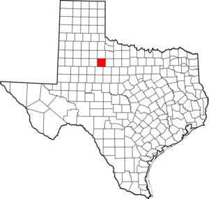
|Stonewall County is a
county located in theU.S. state ofTexas . In 2000, its population was 1,693. Itscounty seat is AspermontGR|6. The county is named for Thomas Jonathan "Stonewall" Jackson, a general of theConfederate Army .Geography
According to the U.S. Census Bureau, the county has a total area of 920
square mile s (2,383km² ), of which, 918 square miles (2,379 km²) of it is land and 2 square miles (4 km²) of it (0.17%) is water.Major highways
*
*
*Adjacent counties
*King County (north)
*Haskell County (east)
*Jones County (southeast)
*Fisher County (south)
*Kent County (west)Major Geographic Features
*Double Mountain (county high point [citeweb|url=http://www.cohp.org/tx/Stonewall_1.html|title=Stonewall County High Point Trip Report|accessdate=2008-08-14] and most topographically prominent point for almost convert|160|mi|km [citeweb|url=http://www.peakbagger.com/search.aspx?tid=P&pid=6351|title=Prominence Ladder from Double Mountains|accessdate=2008-08-14]
*confluence of the Double Mountain and Salt Forks of theBrazos River Demographics
As of the
census GR|2 of 2000, there were 1,693 people, 713 households, and 492 families residing in the county. Thepopulation density was 2 people per square mile (1/km²). There were 936 housing units at an average density of 1 per square mile (0/km²). The racial makeup of the county was 88.25% White, 2.95% Black or African American, 0.35% Native American, 0.35% Asian, 6.44% from other races, and 1.65% from two or more races. 11.75% of the population were Hispanic or Latino of any race.There were 713 households out of which 26.40% had children under the age of 18 living with them, 56.50% were married couples living together, 8.80% had a female householder with no husband present, and 30.90% were non-families. 29.00% of all households were made up of individuals and 15.10% had someone living alone who was 65 years of age or older. The average household size was 2.32 and the average family size was 2.83.
In the county, the population was spread out with 22.80% under the age of 18, 6.20% from 18 to 24, 22.60% from 25 to 44, 24.50% from 45 to 64, and 24.00% who were 65 years of age or older. The median age was 44 years. For every 100 females there were 90.00 males. For every 100 females age 18 and over, there were 91.10 males.
The median income for a household in the county was $27,935, and the median income for a family was $35,571. Males had a median income of $27,083 versus $15,000 for females. The
per capita income for the county was $16,094. About 14.80% of families and 19.30% of the population were below thepoverty line , including 31.50% of those under age 18 and 14.50% of those age 65 or over.Cities and towns
*Aspermont
*Old Glory
*Rath CityReferences
External links
*
* [http://stonewall-tx.tamu.edu/ Stonewall County extension profile] atTexas A&M University
Wikimedia Foundation. 2010.