- Tikipunga
-
Tikipunga 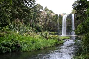
Whangarei FallsBasic information Local authority Whangarei Population 6,114 (2006) Facilities Surrounds Northeast Glenbervie South Otangarei Southwest Te Whau West Kamo Northwest Springs Flat Tikipunga is one of the biggest suburbs in Whangarei, New Zealand. It is in the north-east part of the town and has the landmark Whangarei Falls nearby.
The population was 6,114 in the 2006 Census, an increase of 450 from 2001.[1]
Contents
Whangarei Falls
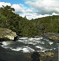
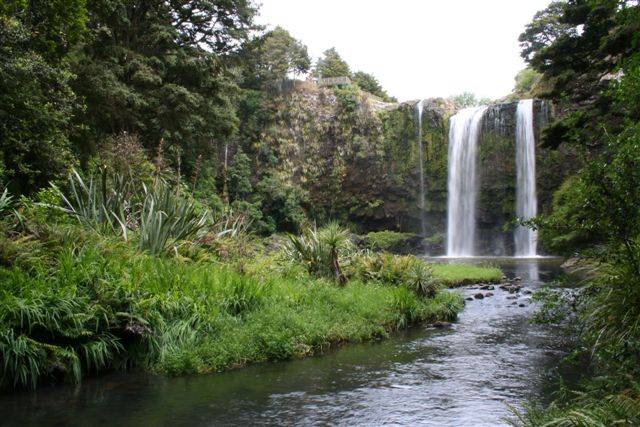
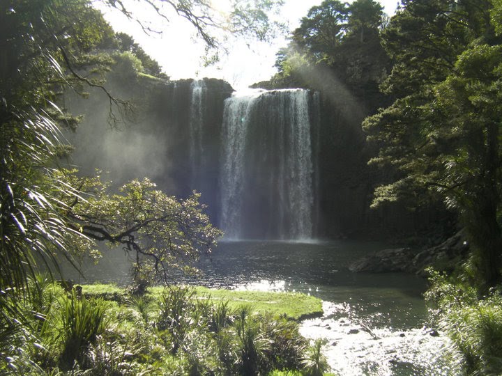
At Whangarei Falls, the Hatea River drops 26 metres (85 ft) over a basalt lava flow. There are walkways around the falls and along the river. The falls were originally known as Otuihau, and have been a picnic spot since at least the 1890s. In the 1920s, the land was bought by Archibald Clapham (of Clapham's Clocks) to prevent commercial exploitation of the falls. The Whangarei Businessmen's Association raised funds in 1946 to buy the land on behalf of the citizens of the town.[2]
Education
Tikipunga High School is a secondary (years 7-15) school with a roll of 437.[3] Tikipunga Primary School is a contributing primary (years 1-6) school with a roll of 267.[4]
Te Kura Kaupapa Maori o Te Rawhiti Roa is a composite (years 1-15) school with a decile rating of 1 and a roll of 201.[5]
All these schools are coeducational. Tikipunga High School and Primary School have a decile rating of 2. Te Kura Kaupapa Maori o Te Rawhiti Roa has a decile of 1.
-
Whangarei Falls as seen from a walkway over the river.
-

Falls from below.
Notes
- ^ The population shown is the combined population of Tikipunga East (Quickstats about Tikipunga East) and Tikipunga West (Quickstats about Tikipunga West).
- ^ Parkes, W. F. (1992). Guide to Whangarei City and District. pp. p 11. ISBN 0-473-01639-7.
- ^ "Te Kete Ipurangi - Tikipunga High School". Ministry of Education. http://www.tki.org.nz/e/schools/display_school_info.php?school_id=14.
- ^ "Te Kete Ipurangi - Tikipunga Primary School". Ministry of Education. http://www.tki.org.nz/e/schools/display_school_info.php?school_id=1113.
- ^ "Te Kete Ipurangi - Te Kura Kaupapa Maori o Te Rawhiti Roa". Ministry of Education. http://www.tki.org.nz/e/schools/display_school_info.php?school_id=1154.
External links
Categories: -

Wikimedia Foundation. 2010.