- Concordia, Entre Ríos
-
Concordia, Entre Ríos, Argentina — City — 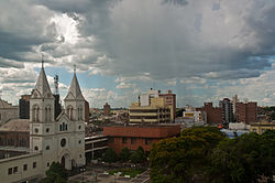 Location of Concordia in Argentina
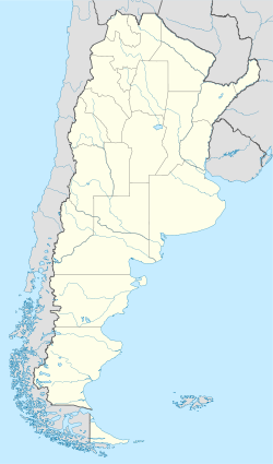
 Concordia, Entre Ríos, Argentina
Coordinates: 31°24′S 58°2′W / 31.4°S 58.033°WCoordinates: 31°24′S 58°2′W / 31.4°S 58.033°W Country Argentina Province Entre Ríos Department Concordia Government - Mayor Gustavo Bordet (Justicialist Party) Population - Total 141,971 Demonym concordiense Time zone ART (UTC-3) CPA base E3200 Dialing code +54 345 San Antonio de Padua de la Concordia (usually shortened to Concordia) is a city in the north-east of the province of Entre Ríos in the Argentine Mesopotamia. It has about 142,000 inhabitants as of the 2001 census [INDEC], and is the head town of the department of the same name.
Concordia lies on the right-hand (western) shore of the Uruguay River, opposite the city of Salto, Uruguay. The two cities are joined by a road/railway link that is part of the Salto Grande Dam complex (starting on the Argentine side 18 km north from the center of Concordia).
The city is known as the national capital of citrus production. El Palmar National Park, an important reserve for Yatay palm trees, lies 60 km south of the city.
The area is serviced by an airport (IATA: COC, ICAO: SAAC) located at 31°18′S 58°0′W / 31.3°S 58°W.
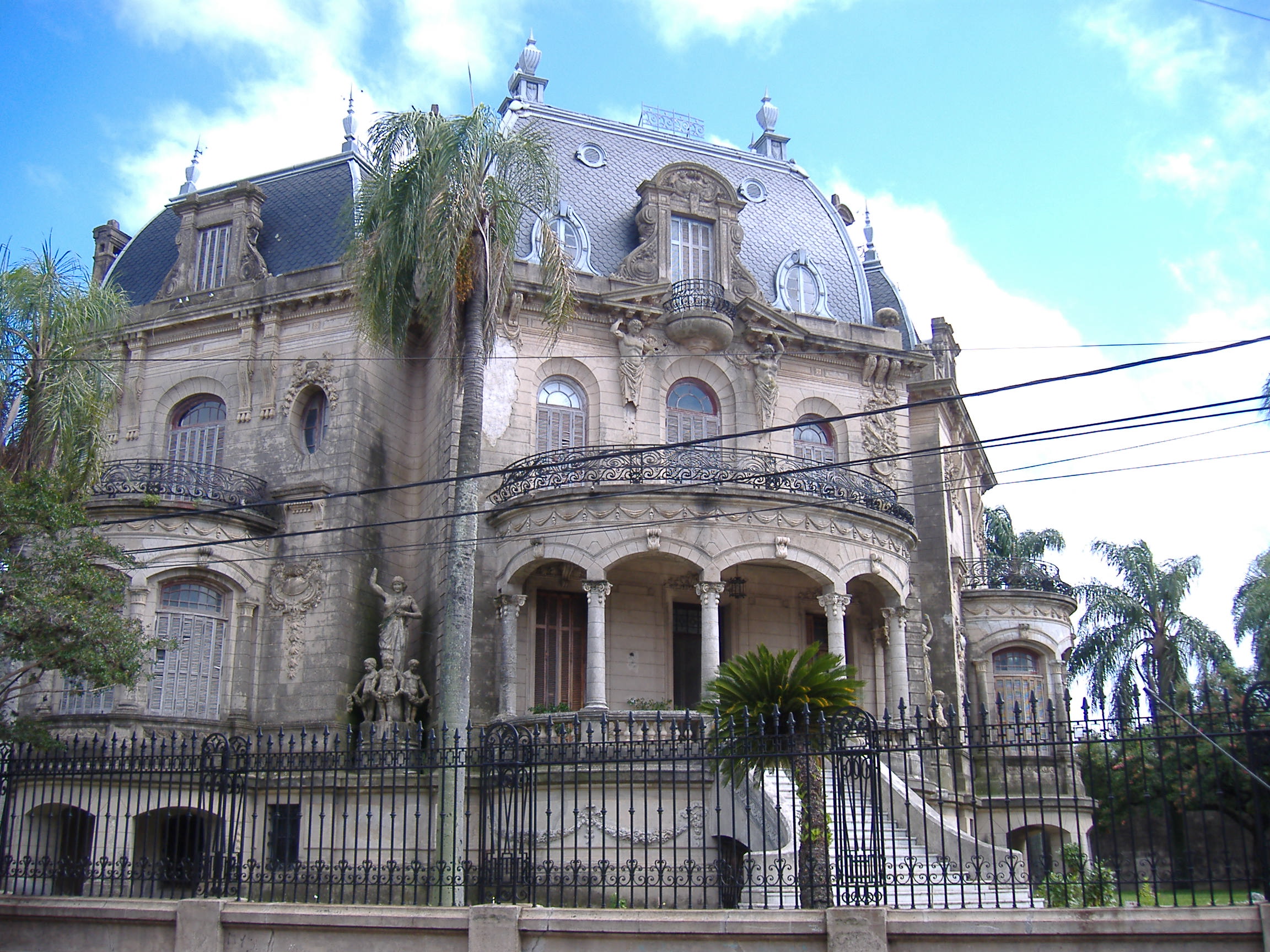
 Concordia's most architecturally significant residence, the Arruabarrena house.
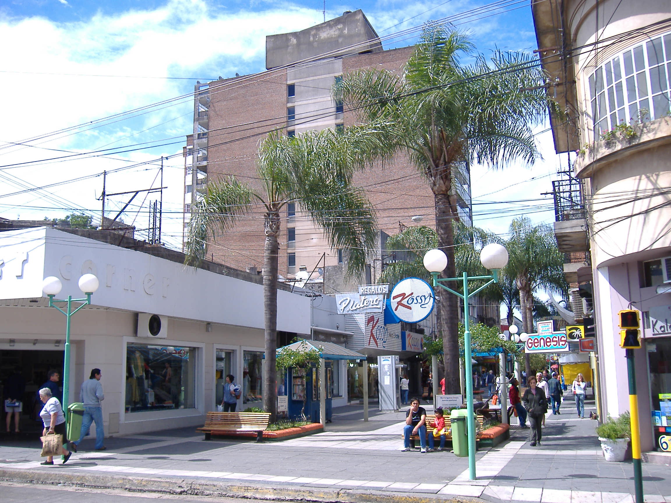
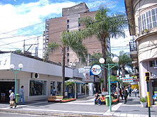 Pedestrian Entre Ríos Street, Concordia.
References
- Municipal information: Municipal Affairs Federal Institute (IFAM), Municipal Affairs Secretariat, Ministry of Interior, Argentina. (Spanish)
- Municipality of Concordia - Official website.
- TurismoEntreRios.com - Tourism portal of the province of Entre Ríos.
Categories:- Populated places in Entre Ríos Province
- Uruguay River
- Argentina–Uruguay border crossings
- Populated places established in 1831
- Entre Ríos Province geography stubs


Wikimedia Foundation. 2010.