- Bezdružice
Geobox | Settlement
name = Bezdružice
other_name =
category = Town
image_caption =
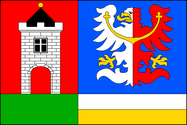
symbol = Bezdružice_znak.png
official_name =
motto =
nickname =
country = Czech Republic
country_
state =
region = Plzeň
region_type = Region
district = Tachov
district_type = District
commune = Stříbro
municipality = Bezdružice
part_count = 9
part_fold = 1
part = Bezdružice
part1 = Dolní Polžice
part2 = Horní Polžice
part3 = Kamýk
part4 = Kohoutov
part5 = Křivce
part6 = Pačín
part7 = Řešín
part8 = Zhořec
river =
location =
elevation = 576
lat_d = 49
lat_m = 54
lat_s = 26
lat_NS = N
long_d = 12
long_m = 58
long_s = 21
long_EW = E
highest =
highest_elevation =
highest_lat_d =
highest_long_d =
lowest =
lowest_elevation =
lowest_lat_d =
lowest_long_d =
area = 32.02
area_round = 2
population = 981
population_date = 2006
population_density = auto
established = 1227
established_type = First mentioned
mayor = Jan Soulek
timezone =
map_background = Czechia - background map.png
map_locator = Czechia
commons = Bezdružice
statistics = [http://www.statnisprava.cz/ebe/ciselniky.nsf/i/560740 statnisprava.cz]
website = [http://www.bezdruzice.cz/ www.bezdruzice.cz]
footnotes =
name = Bezdružice
native_name =
other_name =
other_name1 =
category = Municipality with Commissioned Local Authority
image_size =
image_caption =
flag_size =
symbol =
symbol_size =
country = Czech Republic
state =
region = Plzeň
district = Stříbro
district_type = Little District
district_label = Municipality with Commissioned Local Authority
capital =
capital_lat_d =
capital_lat_m =
capital_lat_s =
capital_lat_NS =
capital_long_d =
capital_long_m =
capital_long_s =
capital_long_E =
capital_elevation =
part_type = Municipalities
part_label =
part_count = 5
part = Bezdružice
part1 = Cebiv
part2 = Horní Kozolupy
part3 = Kokašice
part4 = Konstantinovy Lázně
area = 102.66
area_round = 2
highest =
highest location =
highest_lat_d =
highest_lat_m =
highest_lat_s =
highest_lat_NS =
highest_long_d =
highest_long_m =
highest_long_s =
highest_long_EW =
highest_elevation =
lowest =
lowest_location =
lowest_lat_d =
lowest_lat_m =
lowest_lat_s =
lowest_lat_NS =
lowest_long_d =
lowest_long_m =
lowest_long_s =
lowest_long_EW =
lowest_elevation =
population_as_of = 2005-12-31
population = 2718
population_density = auto
established_type =
established =
leader =
timezone =
utc_offset =
timezone_DST =
utc_offset_DST =
code_type =
code =
code1_type =
code1 =
free_type =
free =
free1_type =
free1 =
map_size =
map_caption =
map_locator =
map_locator_x =
map_locator_y =
website =
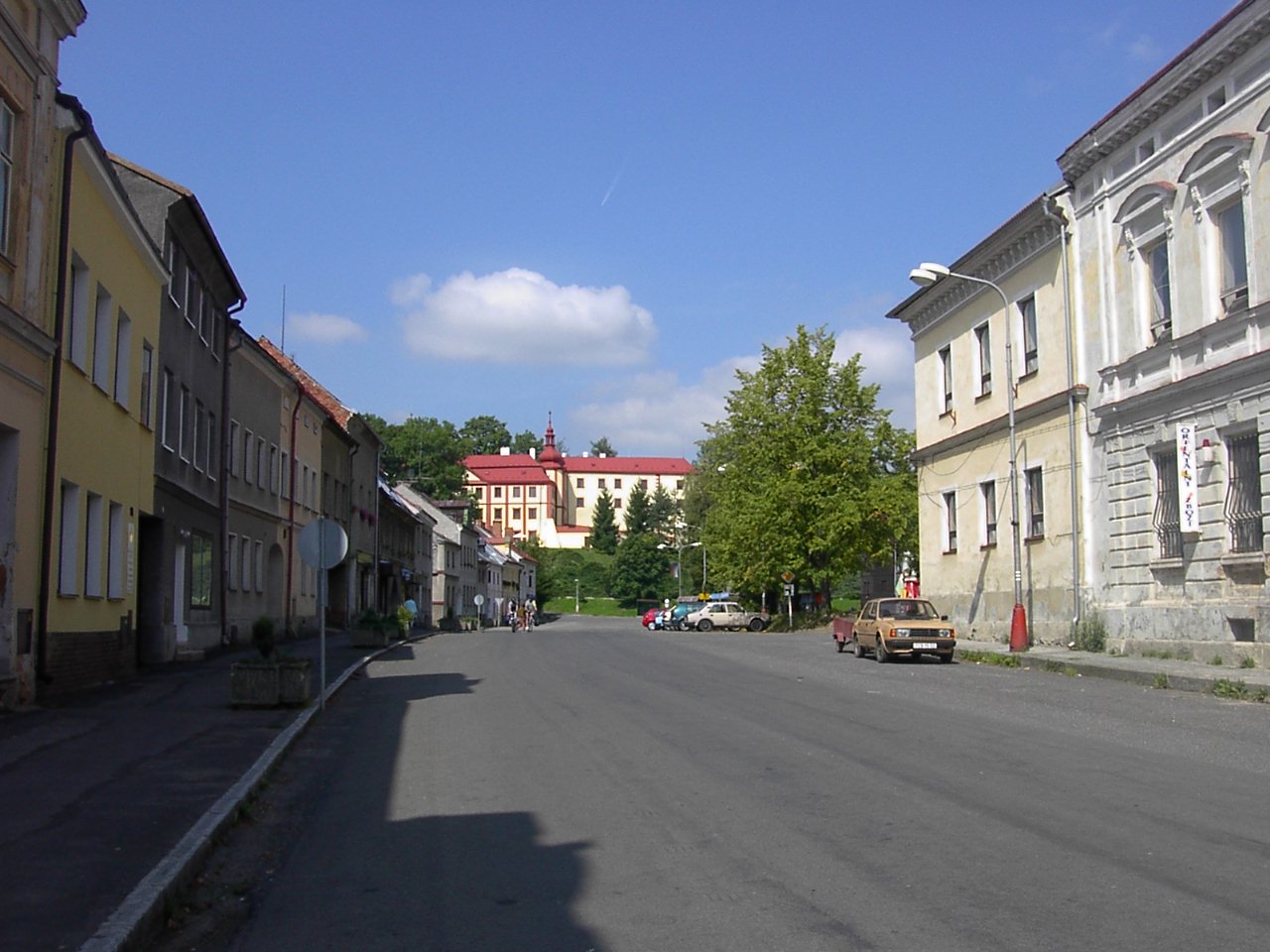
footnotes =Bezdružice (IPA2|ˈbɛzdrʊʒɪtsɛ; _de. Weseritz) is a town in
Plzeň Region of theCzech Republic . It lies some Unit length|km|30 to the north-west from the region capital ofPilsen .Bezdružice is also the seat of the Municipality with Commissioned Local Authority within the
Stříbro Municipality with Extended Competence.Resources
*citation
last = Czech Statistical Office
year = 2005
title = Vybrané údaje podle správních obvodů obcí s rozšířenou působností a správních obvodů obcí s pověřeným obecním úřadem k 31. 12. 2005
url = http://www.czso.cz/xp/redakce.nsf/i/B78124165F6D1D93C1256F1800285EDB/$File/1-vybr.xls
accessdate = 2005-03-08


Wikimedia Foundation. 2010.