- Juskatla, British Columbia
Infobox Settlement
official_name = Juskatla
other_name =
native_name =
nickname =
settlement_type = logging camp
motto =
imagesize =
image_caption =
flag_size =
image_
seal_size =
image_shield =
shield_size =
city_logo =
citylogo_size =
mapsize =
map_caption =
mapsize1 =
map_caption1 =
image_dot_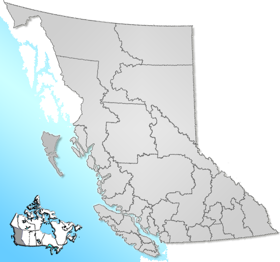
dot_mapsize = 220px
dot_map_caption = Location of Juskatla inBritish Columbia
dot_x = 35 |dot_y = 109
pushpin_
pushpin_label_position =
pushpin_map_caption =
pushpin_mapsize =
subdivision_type = Country
subdivision_name = CAN
subdivision_type1 = Province
subdivision_name1 = BC
subdivision_type2 = Region
subdivision_name2 =Queen Charlotte Islands
subdivision_type3 = Regional District
subdivision_name3 = Skeena-Queen Charlotte
subdivision_type4 =
subdivision_name4 =
government_footnotes =
government_type =
leader_title =
leader_name =
leader_title1 =
leader_name1 =
leader_title2 =
leader_name2 =
leader_title3 =
leader_name3 =
leader_title4 =
leader_name4 =
established_title = Founded
established_date = ~1940
established_title2 =
established_date2 =
established_title3 =
established_date3 =
area_magnitude =
unit_pref =
area_footnotes =
area_total_km2 = 7.5
area_land_km2 =
area_water_km2 =
area_total_sq_mi =
area_land_sq_mi =
area_water_sq_mi =
area_water_percent =
area_urban_km2 =
area_urban_sq_mi =
area_metro_km2 =
area_metro_sq_mi =
area_blank1_title =
area_blank1_km2 =
area_blank1_sq_mi =
population_as_of = 2005
population_footnotes =
population_note =
population_total = 5
population_density_km2 =
population_density_sq_mi =
population_metro =
population_density_metro_km2 =
population_density_metro_sq_mi =
population_urban =
population_density_urban_km2 =
population_density_urban_sq_mi =
population_blank1_title =
population_blank1 =
population_density_blank1_km2 =
population_density_blank1_sq_mi =
timezone = PST
utc_offset = -8
timezone_DST =
utc_offset_DST =
latd= 53|latm= 36|lats= 22|latNS=N
longd= 132|longm= 19|longs= 24|longEW=W
elevation_footnotes =
elevation_m = 60
elevation_ft =
postal_code_type = Postal code span
postal_code = V0T 1J0
area_code =
blank_name =
blank_info =
blank1_name = Waterways
blank1_info = Juskatla Inlet (Masset Inlet )
website =
footnotes = Juskatla is located onJuskatla Inlet , a sidewater off the southern end ofMasset Inlet onGraham Island , the largest and northernmost of theQueen Charlotte Islands on the North Coast of British Columbia,Canada .Juskatla is solely a logging camp . It is sometimes also called Juskatla Camp and has neither a residential area nor any other businesses than forestry facilities. Loggers usually work in Juskatla but live in nearby
Port Clements . [ [http://www.britishcolumbia.com/regions/towns/?townID=4045 BritishColumbia.com Regions & Towns - Juskatla] ]Juskatla has a constant population of only 5 inhabitants. [ [http://www.prendsalb.gc.ca/demographic_servlet/community_demographics/2069 Industry Canada, Community Demographics - Juskatla, BC] ]
Juskatla was established in the 1940s in the course of World War II to supply the allied air force with wood. [ [http://www.niho.com/tools/Juskatla.asp Niho Land & Cattle Co., Tools & Info, Towns of BC - Juskatla] ]
It is still the center of wood processing on northern Graham Islandand and currently operated by Western Forest Products after the
MacMillan Bloedel Ltd tried unsuccessfully to transfer their Tree Farm licenses toWeyerhaeuser logging company. This deal was challenged at theSupreme Court of Canada by theCouncil of the Haida Nation in 2004. [ [http://www.qciobserver.com/articles.aspx?article=2271 The QCI Observer - CHN negotiating to buy tree farm licence] ]References
----
Wikimedia Foundation. 2010.