- El Carmen de Bolívar
[
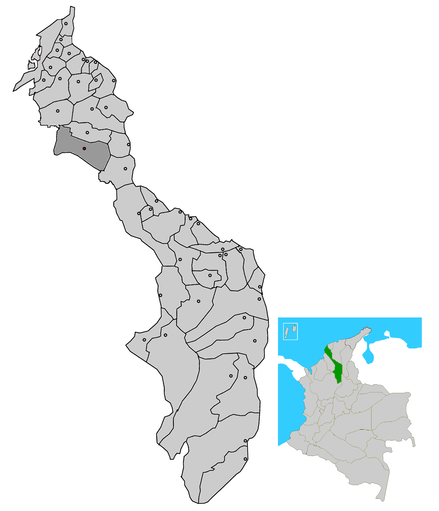
thumb|right|200px|Location_of_the_municipality_and_town_of_Altos del Rosario in theBolivar Department .]El Carmen de Bolívar (Spanish for Bolivar's Carmen) is a
municipality and town of the northernColombia n Department of Bolivar. Founded onFebruary 16 ,1779 by the Spanish infantry LieutenantAntonio de La Torre y Miranda ,El Carmen de Bolivar lies in the central region of the Bolivar Department.History
This area was initially inhabited by the Native American tribes of
Malibúes ,Farotos andPiletas , was later conquered and colonized by the Spanish naming it "sitio de Nuestra Señora del Carmen" or "Our Lady of El Carmen site" in 1776 by a Spanish officer namedAntonio de La Torre y Miranda and under the orders of Juan de Torrezal Díaz de Pimienta, Governor ofCartagena of Indies .Geography
The municipality of El Carmen de Bolivar is located south of the municipality of San Jacinto, north of the municipality of
Ovejas , Sucre west of the municipalities of Zambrano and Córdoba and east of the municipality ofSan Onofre, Sucre , covering a total area of 954 km².Political Division
Corregimientos
* Caracolí Grande: subdivided into the veredas and caseríos of La Cansona, Ojo Seco, El Ojito, Camaroncito, El Coco, La Zarza, Hondible, El Algodón and Lazaro.
* Macayepos: Subdivided into the caseríos and veredas of Limón, Joján, Jojancito, La sierra, El Cielo, El Orejero, Venado, Berruga, Centro Alegre, Berruguita and El Aguacate.
* Bajo Grande: formed by the caseríos and veredas of Santa Lucía, Raizal, La Pita, Pozo Oscuro, La Florida and Carocolicito.
* San Carlos: formed by the caseríos and veredas of El Bajito, Buenavista, Tierra Grata, La Victoria, El Alférez, Guamito and El Sapo.
* El Hobo: formed by the caseríos and veredas of Guaimito, Mazingá, Turquía, Sabaneta and La Puente.
* El Salado: formed by the caseríos and veredas of Jacinto, Tacaloa, El Varguero, Arenas del Sur, Mata caballo, El Reforma, El Umbral and La Estrella.
* San Isidro: formed by the caseríos and veredas of Guamanga, Mamón de María, Romualdo, Pasa Corriendo, Camarón, Caña Salada, Arroyo lejo, Las Lajas and Las Lajitas.
* Jesús del Monte: formed by the caseríos and veredas of Hato Nuevo, Mandatú, El Bongal, Apure, Piedras Blancas, Las vacas, Motaperro, Calsoncito, El Bledo, Piedra Azul, La Cesta, El Ceibal, La Negra, San Martín, El Encanto, Rebulicio and Los Andes.References
*es icon [http://elcarmen-bolivar.gov.co/sitio.shtml El Carmen de Bolivar official website]
Wikimedia Foundation. 2010.