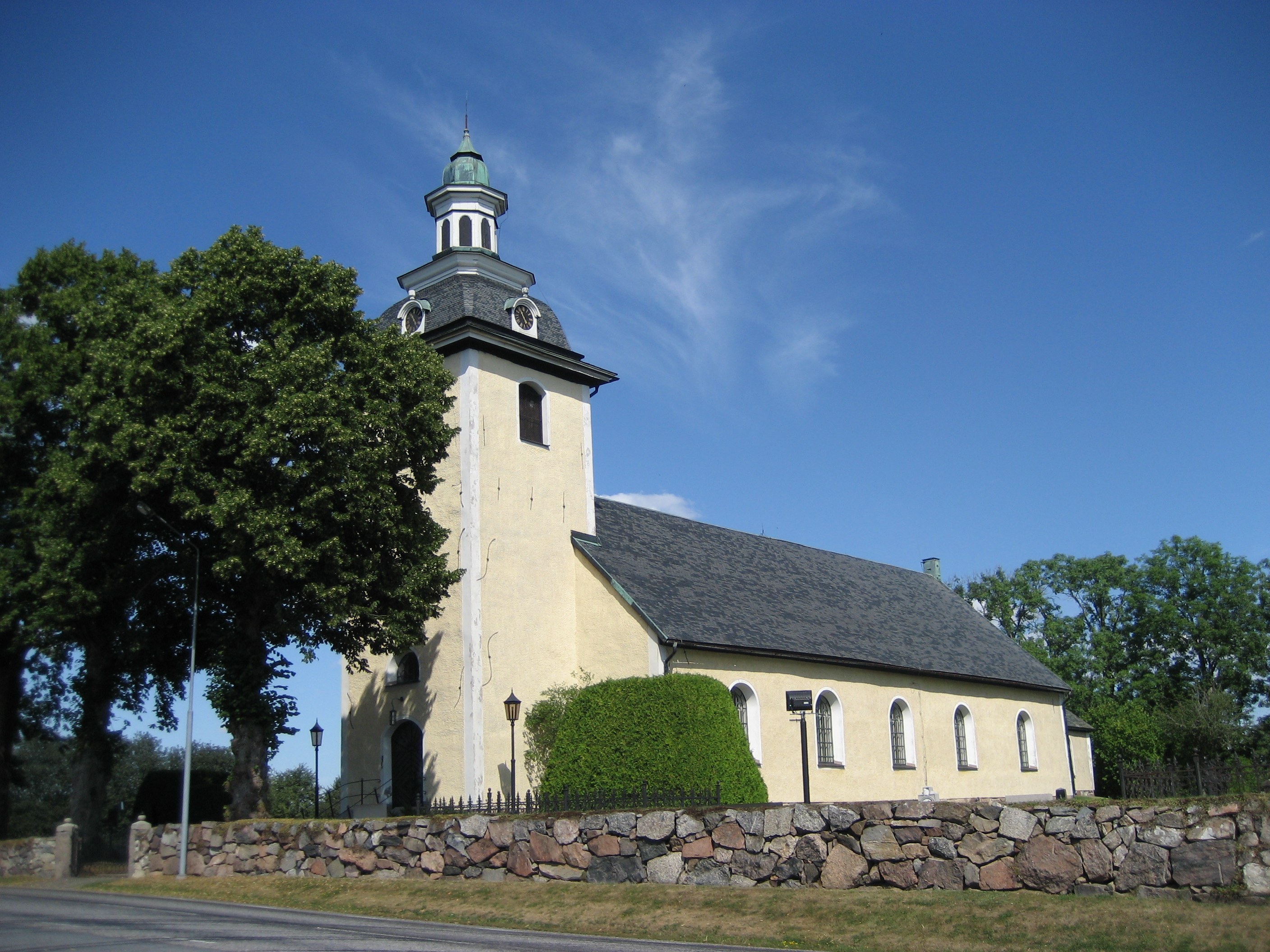
- Askersund
Infobox Settlement
official_name = Askersund
image_caption =
image_shield =
pushpin_
mapsize =
map_caption =
settlement_type =
subdivision_type = Country
subdivision_name =Sweden
subdivision_type1 = Municipality
subdivision_name1 =Askersund Municipality
subdivision_type2 = County
subdivision_name2 =Örebro County
subdivision_type3 = Province
subdivision_name3 =Närke
established_title3 =
established_date3 =
area_footnotes = cite web |title=Tätorternas landareal, folkmängd och invånare per km2 2000 och 2005 |publisher=Statistics Sweden |url=http://www.scb.se/statistik/MI/MI0810/2005A01B/T%E4torternami0810tab1.xls |format=xls |language=Swedish |accessdate=2008-05-15]
area_total_km2 = 2.78
population_as_of = 2005-12-31
population_footnotes =
population_total = 3,937
population_density_km2 = 1417
timezone = CET
utc_offset = +1
timezone_DST = CEST
utc_offset_DST = +2
latd=58 |latm=53 |lats= |latNS=N
longd=14 |longm=54 |longs= |longEW=E
website =Askersund is a locality in the traditional province of
Närke ,Sweden and the seat ofAskersund Municipality . It has a population of about 4,000.Geography
The city is located in the northern bay of Lake
Vättern .The town Askersund traces its origin from the 14th century. In 1643 it was significant enough to received its
charter as one of thecities in Sweden . Despite its small size Askersund is for historical reasons normally still referred to as a "city", althoughStatistics Sweden nowadays defines a city as a locality with more than 10,000 inhabitants.In the 19th century, Askersund was planned to be the site of one of the two supply fortresses for
Karlsborg Fortress , located on an island in lake Vättern, now belonging toKarlsborg Municipality .References
Wikimedia Foundation. 2010.

