- Dobrodzień
-
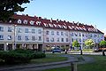
Dobrodzień
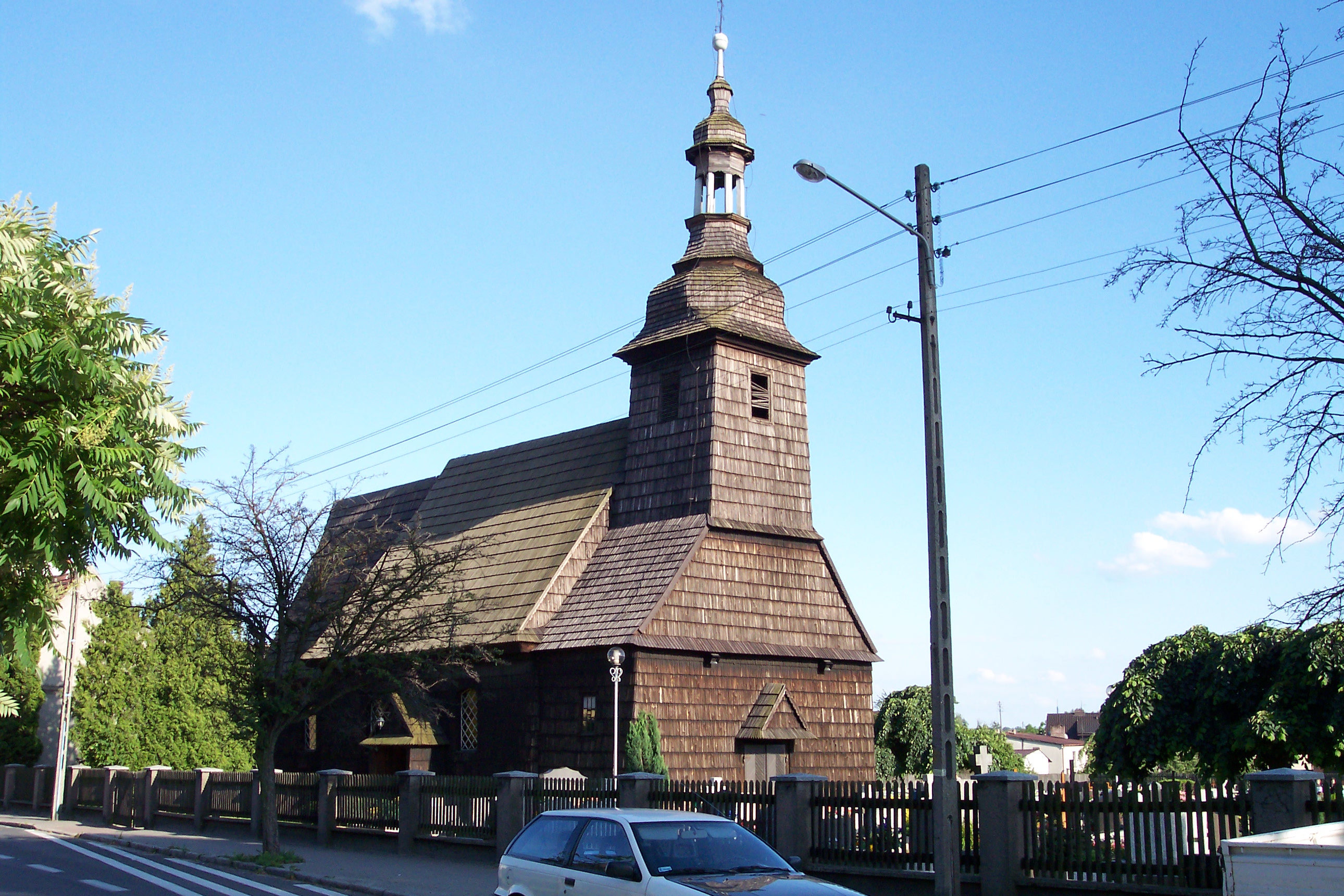
GuttentagSaint Valentine Church

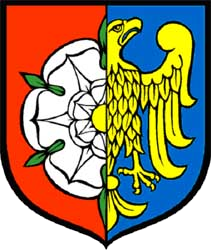
Coat of arms
 Dobrodzień
GuttentagCoordinates: 50°43′40″N 18°26′40″E / 50.72778°N 18.44444°E Country  Poland
Voivodeship Opole County Olesno Gmina Dobrodzień Area - Total 19.46 km2 (7.5 sq mi) Population (2006) - Total 4,168 - Density 214.2/km2 (554.7/sq mi) Postal code 46-380 Area code(s) +48 34 Car plates OOL Website http://www.dobrodzien.pl Dobrodzień [dɔˈbrɔd͡ʑeɲ] (German: Guttentag) is a town in Olesno County, Opole Voivodeship, Poland, with 4,168 inhabitants (2006).
Both names in Polish and German mean "Good day". The name Guttentag is an archaic variant of standard German Guten Tag. The town was part of the Austrian Empire until 1742, when it became part of Prussia, and in 1871 it became part of Germany in the Prussian Province of Silesia (Province of Upper Silesia after 1919).
German-Polish border changes impacted Guttentag/Dobrodzień twice in the 20th century. First, after World War I, a portion of Upper Silesia became part of the re-established nation of Poland, and as a result, Guttentag ended up very close to the new German-Polish border, on the German side. Second, after 1945, as part of Potsdam Agreement by the Allied victors in World War II, most German territories east of the Oder and Neisse Rivers (including Guttentag) became part of Poland. Up till then it had a mostly Protestant population, but after the expulsion of most of the German inhabitants it was resettled with mainly Roman Catholic Poles. Dobrodzień's German-Protestant legacy can still be seen in the Luther rose on its coat of arms.
Dobrodzień and most of the surrounding towns are at present officially bilingual in both Polish and German; a sizable German minority has continued to settle in the area even after the war.
Gallery
-

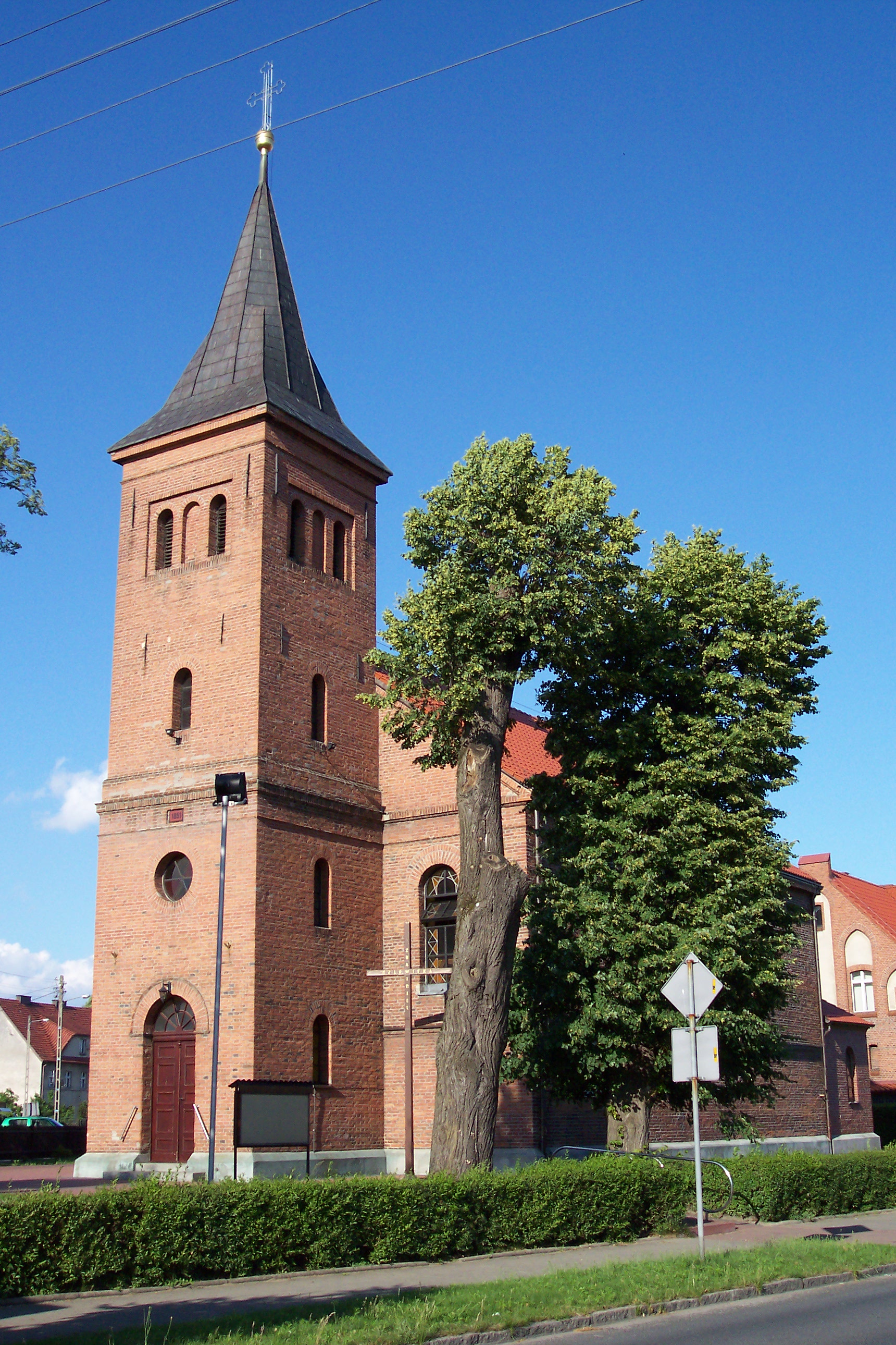
Mary Magdalene Church
-

Saint Mary Church
-

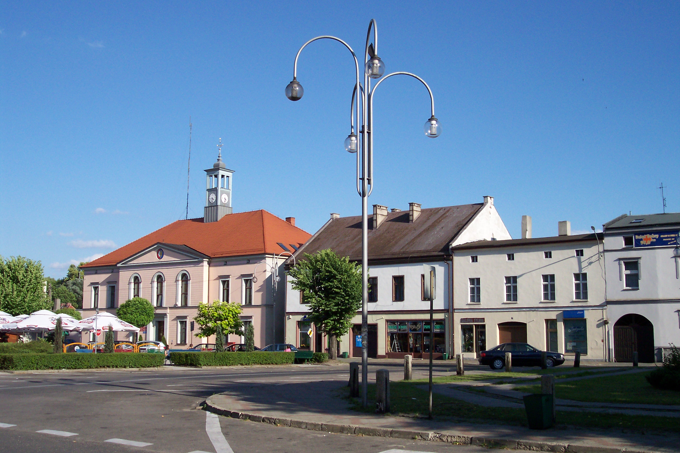
Town market
-
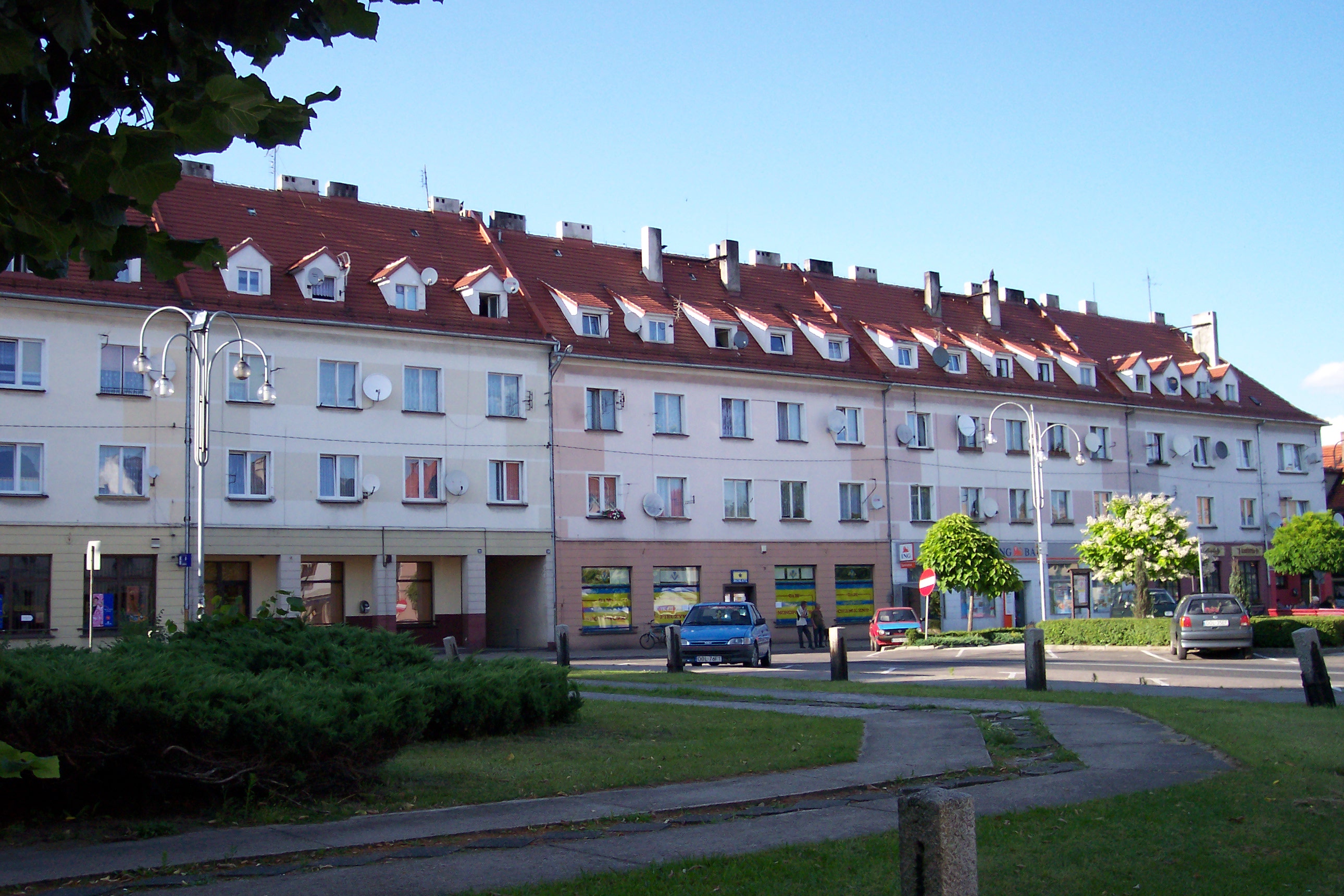
Town market
-

The park
-

17th-century bridge
Coordinates: 50°44′N 18°27′E / 50.733°N 18.45°E
Town and seat Dobrodzień
Villages Bąki · Błachów · Bzinica Nowa · Bzinica Stara · Główczyce · Gosławice · Klekotna · Kocury · Kolejka · Ligota Dobrodzieńska · Makowczyce · Malichów · Myślina · Pietraszów · Pludry · Rzędowice · Szemrowice · Turza · Warłów · Zwóz
Categories:- Cities in Silesia
- Cities and towns in Opole Voivodeship
- Olesno County
- Opole geography stubs
-


Wikimedia Foundation. 2010.