- Malumfashi
-
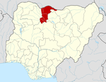
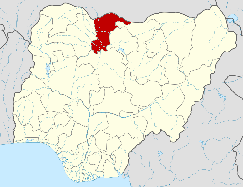
Malumfashi — LGA and town — Location in Nigeria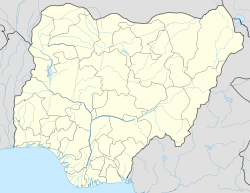
 Malumfashi
Coordinates: 11°48′N 7°37′E / 11.8°N 7.617°ECoordinates: 11°48′N 7°37′E / 11.8°N 7.617°E Country  Nigeria
State Katsina State established 1975 Government – Chairman Abdulaziz Lawal Dan-Yari Area – Total 674 km2 (260.2 sq mi) Population (2006 census) – Total 182,920 Time zone WAT (UTC+1) 3-digit postal code prefix 822 ISO 3166 code NG.KT.MF Malumfashi (or Malum Fashi) is a Local Government Area in Katsina State, Nigeria. Its headquarters are in the town of Malumfashi.
It has an area of 674 km² and a population of 182,920 at the 2006 census. and the current chairman of the local government is Alhaji Abdulaziz lawal dan yari and the Emir (sarki) of the district is Dr Mamman Nasir (Galadiman Katsina
The postal code of the area is 822.[1]
The representative to the House of Representatives for the Malum Fashi/Kafur constituency is Bello Masari Aminu; he has served since 1997.
Notable people
Malumfashi is the home of Abubakar Aminu, a man known for his ability to lift bags full of fertilizer with his teeth, who has been nicknamed "Abu mai wuyun karfi, or "Abu with iron neck."[2]
It is also home to Sada Malumfashi a renowned Informatics Olympian in Nigeria and Senior Prefect Blue Crescent secondary School. Sada Malumfashi has an I.Q of about 150, as at 11 June 2009. He was admitted to Ahmadu Bello University, Zaria at the age of 16 years[citation needed].
References
- ^ "Post Offices- with map of LGA". NIPOST. http://www.nipost.gov.ng/PostCode.aspx. Retrieved 2009-10-20.
- ^ Oladipupo, Akinoli (2006-11-22). "Superman". Sun News Online. The Sun Publishing Ltd. http://www.sunnewsonline.com/webpages/features/citysun/2006/nov/22/citysun-22-11-2006-001.htm. Retrieved 2007-02-17.
State capital: KatsinaLGAs Bakori · Batagarawa · Batsari · Baure · Bindawa · Charanchi · Dan Musa · Dandume · Danja · Daura · Dutsi · Dutsin-Ma · Faskari · Funtua · Ingawa · Jibia · Kafur · Kaita · Kankara · Kankia · Katsina · Kurfi · Kusada · Mai'Adua · Malumfashi · Mani · Mashi · Matazu · Musawa · Rimi · Sabuwa · Safana · Sandamu · Zango
 Categories:
- Populated places in Katsina State
- Local Government Areas in Katsina State
- Nigeria geography stubs

Wikimedia Foundation. 2010.