- Danja, Nigeria
-
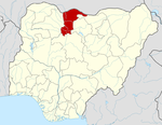
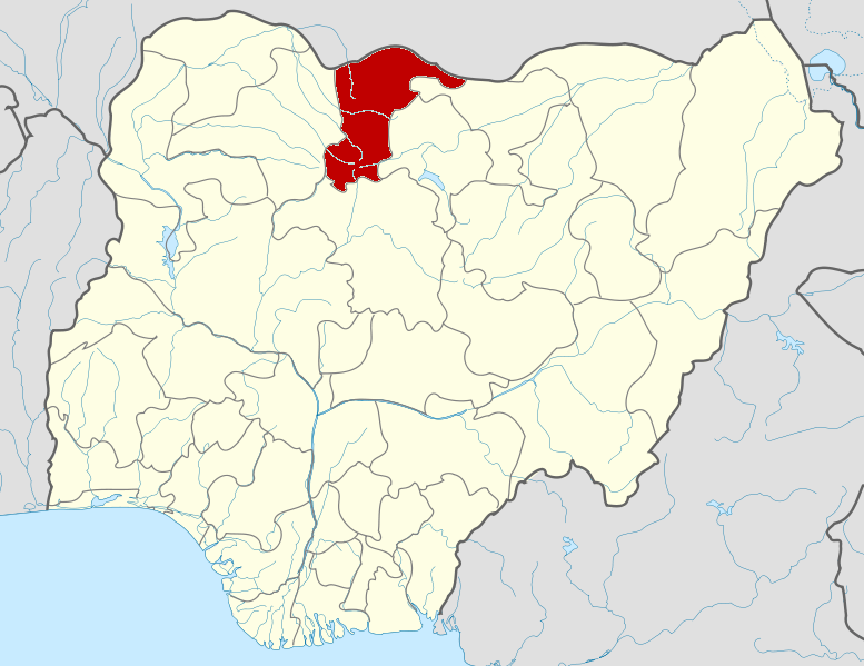
Danja — LGA and town — Location in Nigeria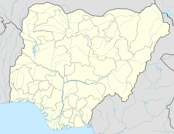
 Danja
DanjaCoordinates: 11°23′N 7°34′E / 11.383°N 7.567°ECoordinates: 11°23′N 7°34′E / 11.383°N 7.567°E Country  Nigeria
State Katsina State Area - Total 501 km2 (193.4 sq mi) Population (2006 census) - Total 125,703 Time zone WAT (UTC+1) 3-digit postal code prefix 831 ISO 3166 code NG.KT.DJ Danja is a Local Government Area in Katsina State, Nigeria. Its headquarters are in the town of Danja.
It has an area of 501 km² and a population of 125,703 at the 2006 census.
The postal code of the area is 831.[1]
References
- ^ "Post Offices- with map of LGA". NIPOST. http://www.nipost.gov.ng/PostCode.aspx. Retrieved 2009-10-20.
State capital: Katsina LGAs Bakori · Batagarawa · Batsari · Baure · Bindawa · Charanchi · Dan Musa · Dandume · Danja · Daura · Dutsi · Dutsin-Ma · Faskari · Funtua · Ingawa · Jibia · Kafur · Kaita · Kankara · Kankia · Katsina · Kurfi · Kusada · Mai'Adua · Malumfashi · Mani · Mashi · Matazu · Musawa · Rimi · Sabuwa · Safana · Sandamu · Zango
 Categories:
- Local Government Areas in Katsina State
- Populated places in Katsina State
- Nigeria geography stubs

Wikimedia Foundation. 2010.