- Mamili National Park
-
Mamili National Park IUCN Category II (National Park)

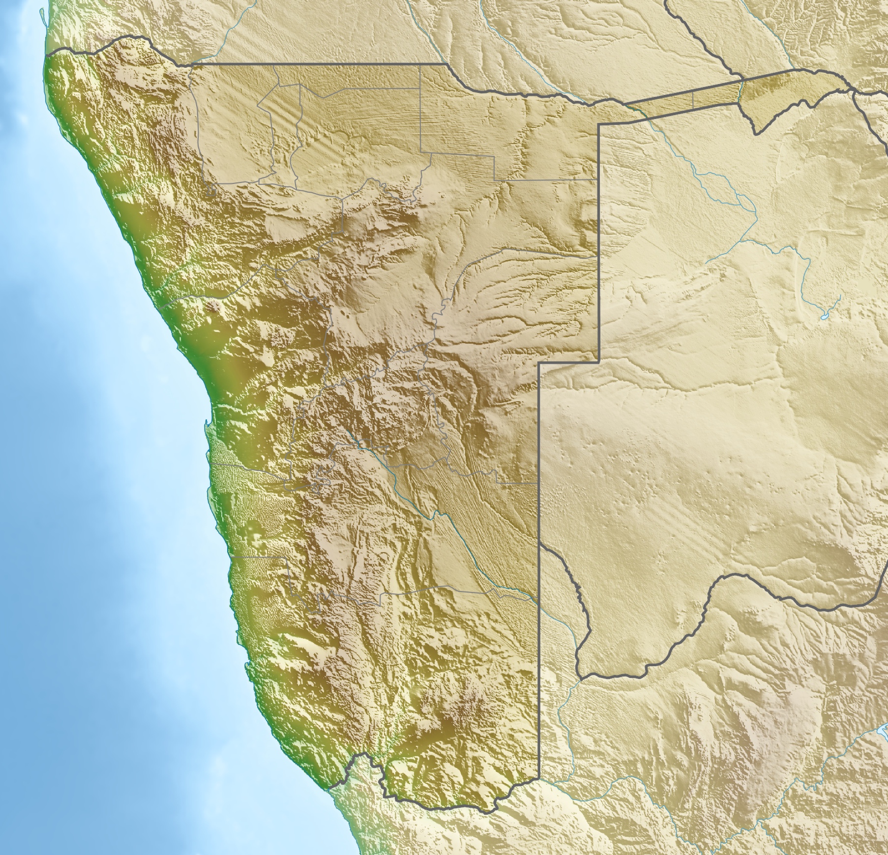
Location Namibia Coordinates 18°23′S 23°37′E / 18.383°S 23.617°ECoordinates: 18°23′S 23°37′E / 18.383°S 23.617°E Area 32,000ha Established 1990 Mamili National Park is a national park in Namibia.
Mamili is centered on the Nkasa and Lupala islands on the Kwando and Linyanti rivers in the south-western corner of East Caprivi. During the dry season, the islands can be reached by road, but after rains 80% of the area becomes flooded, cutting them off from the mainland.
Vegetation is dominated by species associated with floodplains and termitaria. Floodplains provide ideal protection for mammals which live in swamps and floodplains such as the sitatunga and red lechwe, buffalo, wild dog. This area is the last stronghold of the remnant population of Puka. Wattled cranes have been recorded breeding here.
Notes
This park is considered for inclusion in the 5 Nation Kavango - Zambezi Transfrontier Conservation Area.
External links
National Parks of Namibia Categories:- IUCN Category II
- National parks of Namibia
- Namibia geography stubs
Wikimedia Foundation. 2010.