- Wisłok Dolny
Infobox City
settlement_type = Town
subdivision_type = Country
official_name = Wisłok Dolny| native_name = Wisłok Dolny| subdivision_name = Poland
image_
subdivision_name1 = Subcarpathian Voivodship
subdivision_type1 =Beskids
region_type_local =
subdivision_name1 =
region_link =
region_name_local =
population_total = 200
area_total_km2 = 6.3
elevation_m = 482
established_date = 1366
established_title =Founded
code = 38500
latd =
latm =
latNS =
longd =
longm =
longEW =
website =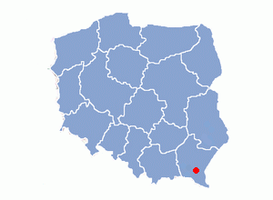
Wisłok Dolny is a
village in theSanok County in the East Małopolska in the Lesser Beskid mountains, in the parish ofNowotaniec . It is now part ofWisłok Wielki .History
In historical records the village was first mentioned in
1361 . The wooden church replaced an older church from at leats 1828. Church was "Saint Onufrius" buit in 1850, still standing. The village was burned down January 24, 1946 by the UPA. In 1785 the village lands comprised 6.14 km2. There were 820 Catholics and 41 Jews. On April,1946 the village was attacked by a strong unit of UPA and some buildings were burnt. Only over a dozen years after the war the village started to rebuild.Some people left Wislok on April 29, 1947 (Akcja Wisla) andmoved to the Pomorze area of Poland. Some people went toUkraine in 1946.Geography
The
municipality lies at analtitude of 482metres and covers anarea of 6.3 km2. It has apopulation of about 200 people.External links
Wikimedia Foundation. 2010.