List of places in Cumbria — This is a list of cities, towns and villages in the county of Cumbria, England. See the list of places in England for places in other counties.compactTOC NOTOC A*Abbey Town, Above Derwent, Ackenthwaite, Adgarley, Aglionby *Aiketgate, Aikhead,… … Wikipedia
Liste von Wasserfällen — Havasu Falls, Arizona Die Liste von Wasserfällen zählt bekannte Wasserfälle auf. Inhaltsverzeichnis 1 Afrika … Deutsch Wikipedia
Liste de chutes d'eau — Cette liste est incomplète ou mal ordonnée. Votre aide est la bienvenue ! Salto Angel, la plus haute chute du monde, Venezuela Ceci est une liste des chutes d ea … Wikipédia en Français
High Force — type = Plunge height = 20 m / 70 ft height longest = number drops = average flow = world rank = High Force is a waterfall on the River Tees, near Middleton in Teesdale, Tees Valley, England. [ [http://www.rabycastle.com/high force.htm High Force … Wikipedia
Waterfall — For other uses, see Waterfall (disambiguation). Angel Falls in Venezuela is the world s tallest waterfall at 979;m (3,212 ft) … Wikipedia
Yorkshire Dales — Protected Area National park entrance sign, near Skipton … Wikipedia
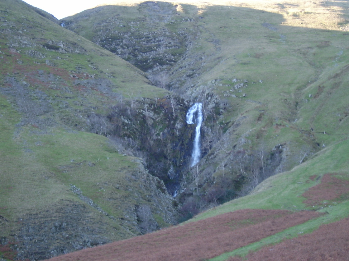
Howgill Fells — The Howgill Fells are a small group of hills in Cumbria in northern England, bounded approximately by a triangle drawn between Sedbergh, Kirkby Stephen and Tebay. The southern half of the Howgill Fells is in the northwest corner of the Yorkshire… … Wikipedia
The Calf — Infobox Mountain Name = The Calf Photo = The Calf summit.jpg Caption = The trig point at the summit, looking towards the distant Pennines. Elevation = 676 m (2218 ft) Location = Yorkshire Dales, England Range = Prominence = 383 m Parent peak =… … Wikipedia
Liste der Wasserfälle — Dieser Artikel wurde im Projekt Geographie zur Verbesserung eingetragen. Hilf mit, ihn zu bearbeiten und beteilige dich an der Diskussion! Vorlage:Projekthinweis/Wartung/Geographie Folgendes muss noch verbessert werden: Muss aus dem Englischen in … Deutsch Wikipedia
Yorkshire Dales — Nationalpark (rot) in North Yorkshire … Deutsch Wikipedia