- Máramaros
Infobox Former Subdivision
native_name =
conventional_long_name = Máramaros County
common_name = Máramaros
subdivision = County
nation = theKingdom of Hungary
p1 =
s1 =
year_start = 1876
event_end = Treaty of Trianon
year_end = 1920
date_end = June 4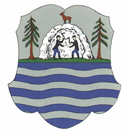

capital = Máramarossziget
stat_area1 = 9716
stat_pop1 = 357700
stat_year1 = 1910
today =Ukraine ,Romania
footnotes =Sighetu Marmaţiei is the current name of the capital.Máramaros (Romanian: Maramureş; Rusyn: Мараморош / Maramorosh, Мараморыш / Maramorŷsh; Ukrainian: Мармарощина / Marmaroshchyna, Мараморщина / Maramorshchyna; Latin: Marmatia) is the name of a historic administrative county (comitatus) of the
Kingdom of Hungary . Its territory is presently in north-westernRomania and westernUkraine . The capital of the county wasSighetu Marmaţiei (-Romanian, "Máramarossziget" in Hungarian).Geography
Máramaros county shared borders with the
Austria n crownlands Galicia (currently inPoland andUkraine ) andBukovina (currently inRomania andUkraine ) and the Hungarian counties Bereg,Ugocsa ,Szatmár ,Szolnok-Doboka andBeszterce-Naszód . It was situated on both sides of the riverTisza , and in theCarpathian mountains . Its area was 9720 km² around 1910.History
In 1920 after the
Treaty of Trianon , the northern part of the county became part of newly formedCzechoslovakia . The southern part (includingSighetu Marmaţiei ) became part ofRomania .During
World War II , the Czechoslovak part was occupied by Hungary under theFirst Vienna Award . The county Máramaros was recreated, withKhust /Huszt as capital. TheRomania n part was from 1940 to 1944 a part ofHungary .After World War II, the formerly Czechoslovak part of Máramaros county became part of theSoviet Union ,Ukrainian SSR ,Zakarpattia Oblast . Since 1991, when theSoviet Union split up, theZakarpattya region is part ofUkraine .The southern part of the county is now part of the
Romania n countyMaramureş .Demographics
Population by language (1910 census):
*Ruthenian = 159,489
*Romanian = 84,510
*German = 59,552
*Hungarian = 52,964ubdivisions
In the early 20th century, the subdivisions of Máramaros county were:
Rakhiv ,Teresva ,Tiachiv ,Khust ,Dovhe andMizhhir'ya are presently inUkraine ;Sighetu Marmaţiei ,Ocna Şugatag , Dragomireşti andVişeu de Sus are presently inRomania .
Wikimedia Foundation. 2010.