- Mount Gamkonora
-
Mount Gamkonora 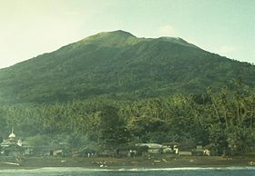
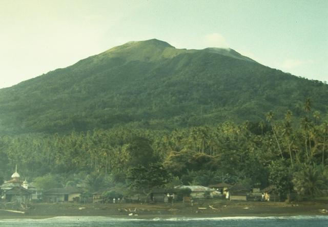
Mount Gamkonora in 1984.Elevation 1,635 m (5,364 ft) [1] Prominence 1,635 m (5,364 ft) Listing Ultra
RibuLocation Halmahera, Indonesia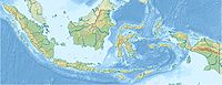
 Mount Gamkonora
Coordinates 1°23′N 127°32′E / 1.38°N 127.53°ECoordinates: 1°23′N 127°32′E / 1.38°N 127.53°E[1] Geology Type Stratovolcano Last eruption 2007 Mount Gamkonora is the highest peak of Halmahera island, Indonesia. It has produced an elongated series of craters along the north-south rift. The largest eruption in 1673 was accompanied with tsunami which inundated the nearby villages.[1] Between 1564 and 1989 the volcano erupted 12 times.[2]
The volcano erupted again on July 10, 2007, with over 8,000 people reported to have fled their homes in the vicinity.[3]
See also
References
- ^ a b c "Gamkonora". Global Volcanism Program, Smithsonian Institution. http://www.volcano.si.edu/world/volcano.cfm?vnum=0608-04=. Retrieved 2006-12-31.
- ^ Global Volcanism 1975-1985. Englewood Cliffs: Prentice Hall, 1989. page 231. (ISBN 0-13-357203-X)
- ^ "Thousands flee Indonesia volcano". BBC News. 2007-07-10. http://news.bbc.co.uk/1/hi/world/asia-pacific/6286946.stm. Retrieved 2007-07-10.
Categories:- Stratovolcanoes
- Active volcanoes
- Mountains of Indonesia
- Volcanoes of Halmahera
- Maluku Islands and New Guinea (Indonesia) geography stubs

Wikimedia Foundation. 2010.