- Clear Fork River
Infobox River
river_name = Clear Fork River

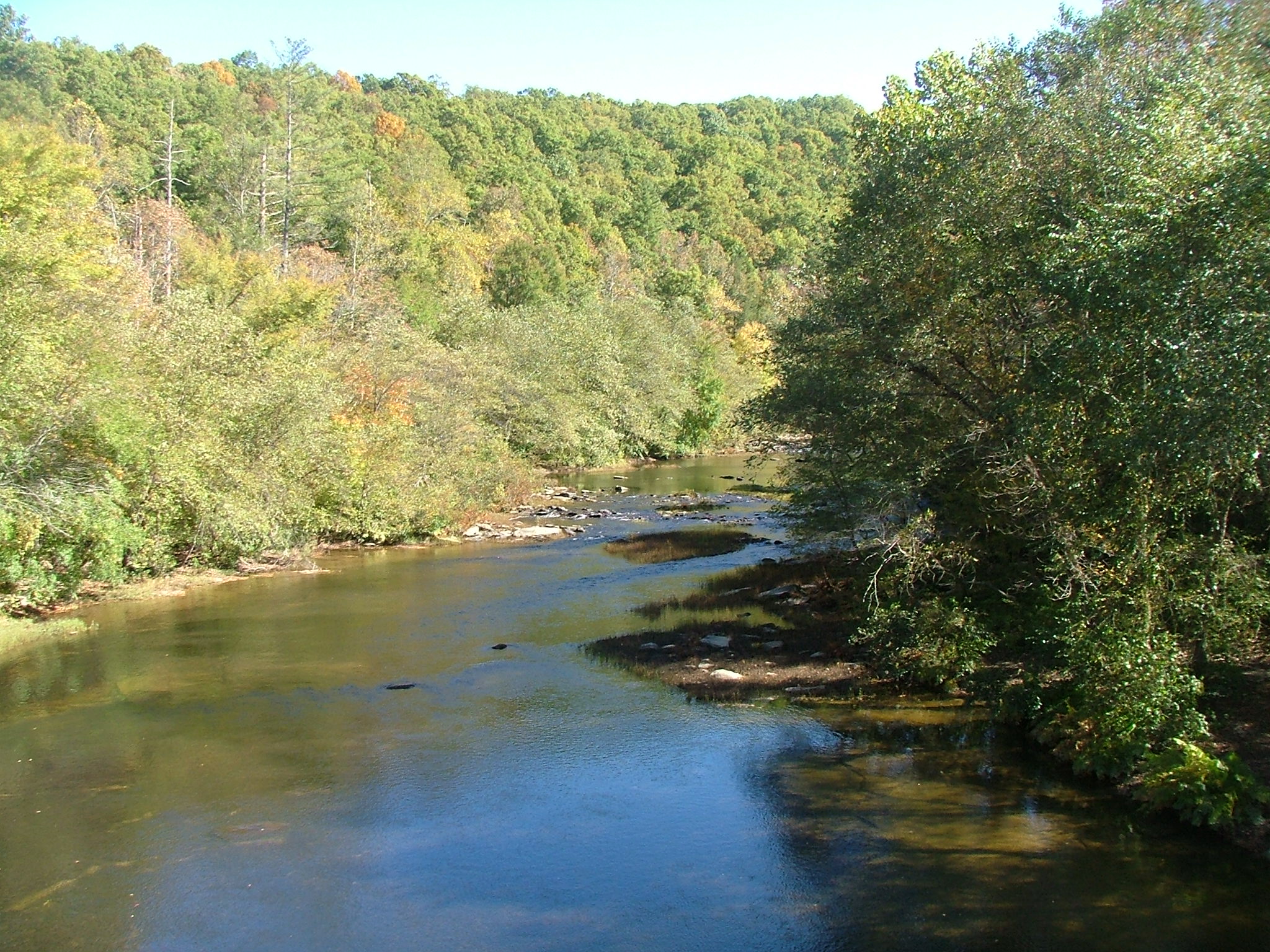
caption = An upstream view from the old Burnt Mill Bridge.
origin =Fentress County, Tennessee [Gnis|1305959|Clear Fork River]
mouth =Big South Fork of the Cumberland River in Scott County
basin_countries =USA
length =
elevation =
mouth_elevation = 1,004 ft (306 m) [U.S. Geological Survey. Oneida South quadrangle, Tennessee. 1:24,000. 7.5 Minute Series. Washington D.C.: USGS, 1988.]
discharge =
watershed = The Clear Fork River is a stream draining part of theCumberland Plateau ofTennessee .The Clear Fork rises on the
Cumberland Plateau in southernFentress County, Tennessee . It is composed of two major components, the North Prong and the South Prong, and numerous smaller tributaries. The North Prong drains an area adjacent to and east ofU.S. Highway 127 . The South Prong is slightly further east; it and its tributaries form an important portion of the border between Fentress County and Morgan County.The former English settlement of Rugby, Tennessee, promoted in the late 19th century as a settlement for the "second sons" of English nobility who did not receive hereditary
peerage s, is located on the Plateau above the Clear Fork valley; swimming it its pools provided the "Rugby Colony" with an important recreational diversion. The stream crosses into Scott County through an oil field developed by thepetroleum industry and reaches its confluence with the New River. From this point the combined stream is known as theBig South Fork of the Cumberland River ; the upper reaches of the stream are the focal point of aNational Recreation Area .References
joj
Wikimedia Foundation. 2010.
