Oyster Pond River

Oyster Pond River
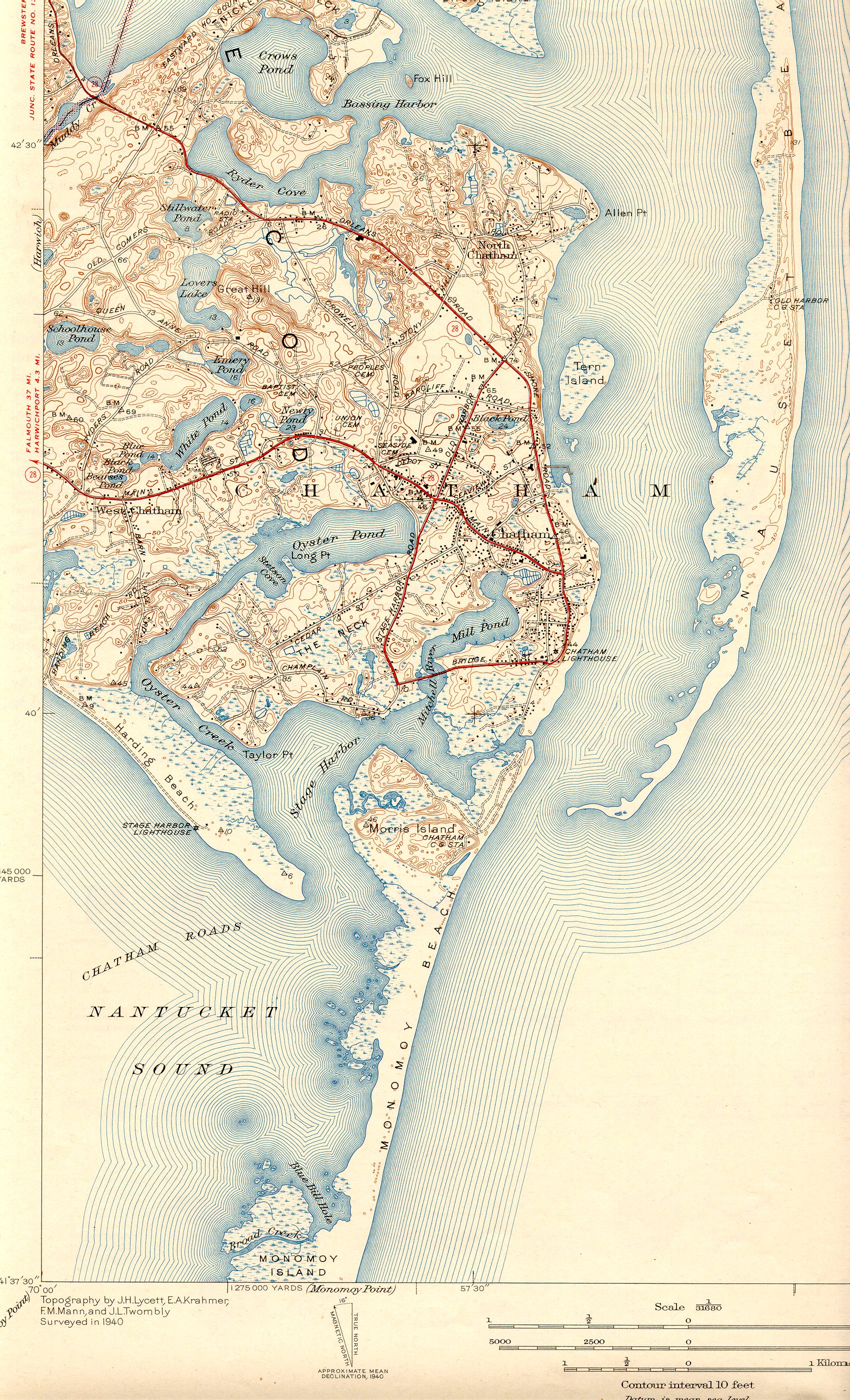
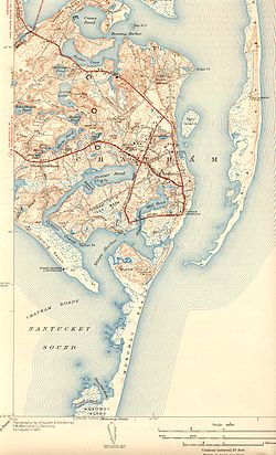
Oyster Pond River and environs

Oyster Pond River, also called Oyster Creek, is a 1.7-mile-long (2.7 km)[1] river in Chatham, Massachusetts on Cape Cod.

The river is an estuary connecting Oyster Pond with Stage Harbor, averaging 3 to 5 feet (1 to 2 m) in depth and bordered with salt marshes. Both river and pond provide excellent anchorage. According to an assessment for the Massachusetts Estuaries Project, its total surface area is 88.1 acres (357,000 m2).

References

  1. ^ U.S. Geological Survey. National Hydrography Dataset high-resolution flowline data. The National Map, accessed April 1, 2011


Wikimedia Foundation. 2010.

Игры ⚽ Нужно решить контрольную?

Look at other dictionaries:

  • Oyster Bay National Wildlife Refuge — The Oyster Bay National Wildlife Refuge on the north shore of Long Island consists of high quality marine habitats that support a variety of aquatic dependent wildlife. The refuge s waters and marshes surround Sagamore Hill National Historic Site …   Wikipedia

  • Oyster — For other uses, see Oyster (disambiguation). Crassostrea gigas from the Marennes Oléron basin in France The word oyster is used as a common name for a number of distinct groups of bivalve molluscs which live in marine or brackish habitats. The… …   Wikipedia

  • Oyster farming — Harvesting oysters from the pier at Cancale, Brittany, France 2005 Oyster farming is an aquaculture (or mariculture) practice in which oysters are raised for human consumption. Oyster farming most likely developed in tandem with pearl farming, a… …   Wikipedia

  • Connetquot River State Park Preserve — Southside Sportsmens Club District U.S. National Register of Historic Places U.S. Historic district …   Wikipedia

  • Nissequogue River State Park — The Nissequogue River State Park is located on the banks and bluffs of the Nissequogue River in Kings Park, New York. The park was conceived in 1999, and established on the waterfront portion of the former Kings Park Psychiatric Center. The name… …   Wikipedia

  • Moose River Plains Wild Forest — The Moose River Plains Wild Forest is a 50,000 acre (200 km2) tract in the Adirondack Park in Hamilton and Herkimer counties in New York State; it is designated as Wild Forest by the New York State Department of Environmental Conservation.… …   Wikipedia

  • Magothy River — Coordinates: 39°3′22″N 76°26′4″W / 39.05611°N 76.43444°W / 39.05611; 76.43444 …   Wikipedia

  • Collect Pond — A 1798 watercolor of the Collect Pond Bayard Mount, a 110 hillock, is in the left foreground. New York City, which then extended to a stockade which roughly parralled current Chambers Street, is visible beyond the southern shore. The Collect Pond …   Wikipedia

  • San Joaquin River — Coordinates: 38°04′00″N 121°51′04″W / 38.0666667°N 121.85111°W / 38.0666667; 121.85111 …   Wikipedia

  • Ninigret Pond — Seen in August 2009 Location Charlestown, Washington County, Rhode Island Coordinates …   Wikipedia

Share the article and excerpts

Direct link
Do a right-click on the link above
and select “Copy Link”