- Karaginsky Island
Infobox Islands
name = Karaginsky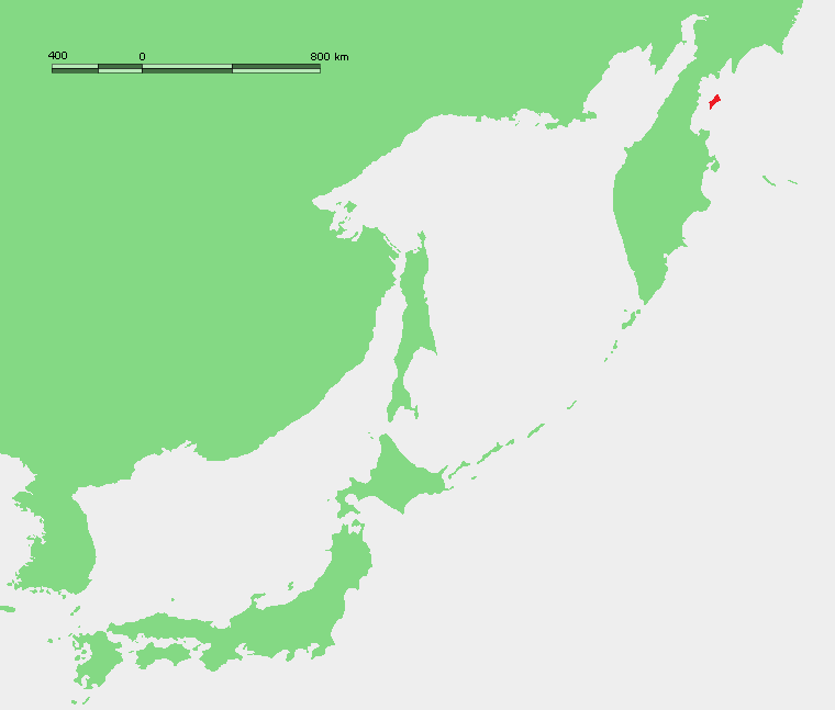
image caption = Location of Karaginsky Island off the eastern Kamchatka coast
image size =
locator
Location map|Russia|lat=58.916667|long=164.333333
map_custom = yes
native name = Карагинский остров
native name link = Russian language
nickname =
location =Karaginsky Gulf of theBering Sea
coordinates = coord|58|55|N|164|20|E|display=inline
archipelago =
total islands =
major islands =
area = convert|2404|km2|sqmi
length = convert|101|km|mi
width = convert|27|km|mi
highest mount = unnamed
elevation = convert|912|m|ft
country = Russia
country admin divisions title = Okrug
country admin divisions =Koryak Autonomous Okrug
country admin divisions title 1 =
country admin divisions 1 =
country admin divisions title 2 =
country admin divisions 2 =
country largest city =
country largest city population =
population = uninhabited
population as of =
density =
ethnic groups =
additional info =Karaginsky Island or Karaginskiy Island ( _ru. Карагинский остров) is an
island in theKaraginsky Gulf of theBering Sea . The 40 km wide strait between theKamchatka Peninsula and this island is calledLitke Strait .Even though the island is uninhabited, the Karagin
Koryak s have traditionally lived in Karaginskiy Island. Migrantreindeer herders still live in temporary shelters on the island.The island's area is 2,404 km². It is 101 km long and up to 27 km wide. The highest peak of the island is 912 m. Karaginsky Island is covered with
tundra vegetation andcedar underwood. In the summer there are many flowers.Karaginsky Island is a
Ramsar site .Nowadays this island is popular with tourists who come to enjoy the wildlife. [ [http://www.fotosearch.com/STK022/mlp2699/ Stock Photograph of Whalebone shrine, Arakamchechen Island, Chukchi Peninsula, Siberia MLP2699 - Search Stock Photography, Photos, Images, and Photo Clip Art - MLP2699.jpg] ]
*45 Km north of Karaginsky Island's northern tip lies small and narrow Verkhoturov Island (Ostrov Verkhoturova). It is 3.5 Km long and has an average width of 0.5 Km.
Administration
Administratively Karaginskiy Island belongs to the
Koryak Autonomous Okrug of theRussian Federation .References
* [http://worldmaps.web.infoseek.co.jp/russia_guide.htm Location]
* [http://www.alvoyages.com/ships/odyssey/23/975/ Tourism in Karaginskiy Island]
* [http://www.birdlife.org/datazone/species/index.html?action=SitHTMDetails.asp&sid=16487&m=0 Birdlife]External links
* [http://maps.google.com/maps?t=k&hl=en&ie=UTF8&om=1&ll=58.893296,163.207397&spn=1.299831,3.702393 Google map]
* [http://www.ramsar.org/wurc/wurc_mgtplan_russia1a.htm Karaginsky Island Ramsar site]
Wikimedia Foundation. 2010.