- Ludrová
Geobox | Settlement
name = Ludrová
other_name =
category = Village
image_caption =
symbol =
etymology =
official_name =
motto =
nickname =
country = Slovakia
country_
state =
region = Žilina
district = Ružomberok
commune =
municipality =
part =
river =
location =
elevation = 560
lat_d = 49
lat_m = 03
lat_NS = N
long_d = 19
long_m = 20
long_EW = E
coordinates_type = region:SK_type:city
highest =
highest_elevation =
highest_lat_d =
highest_long_d =
lowest =
lowest_elevation =
lowest_lat_d =
lowest_long_d =
area = 5.347
area_round = 2
population = 982
population_date = 2006-12-31
population_density = auto
established = 1376
established_type = First mentioned
mayor =
timezone =
timezone_DST =
postal_code = 034 71
area_code = +421-44
code = RK
code_type = Car plate
free =

map_background = Slovakia - background map.png
map_locator = Slovakia
map1 = Žilina Region - outline map.svg
map1_size = 224
map1_background = Žilina Region - background map.png
map1_locator = Žilina Region
commons =
statistics = [http://www.statistics.sk/mosmis/eng/prvav2.jsp?txtUroven430508&lstObec510823&Okruhzaklad MOŠ/MIS]
website = [http://www.ludrova.sk www.ludrova.sk]
footnotes =
left =
350px =
thumb =
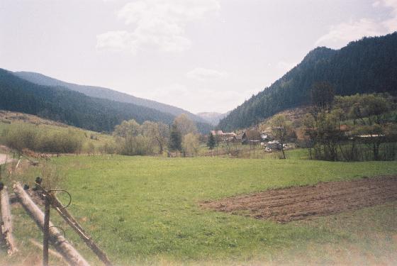
Ludrová, pohľad z Čerien =Ludrová is a
village andmunicipality inRužomberok District in theŽilina Region of northernSlovakia .History
In historical records the
village was first mentioned in 1461.Geography
The
municipality lies at analtitude of 565 metres and covers anarea of 5.347km². It has apopulation of about 982 people.External links
*http://www.ludrova.sk


Wikimedia Foundation. 2010.