- Rangrim
-
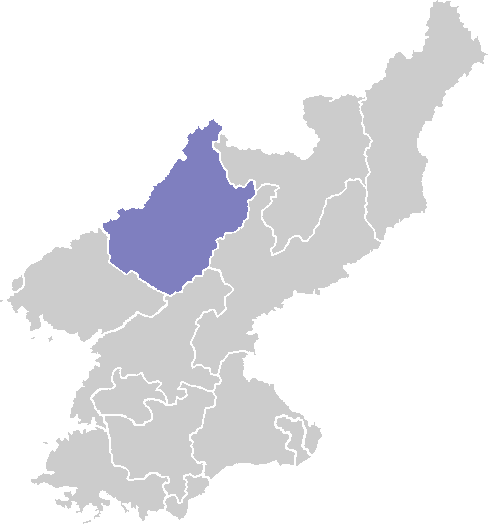
Rangrim Chosŏn'gŭl 랑림군 Hancha 狼林郡 McCune–Reischauer Rangrim kun Revised Romanization Rangrim-gun Statistics Administrative divisions 1 ŭp, 2 workers' districts, 14 ri Rangrim is a kun, or county, on the eastern flank of Chagang province, North Korea. It was created in 1952 from portions of Changgang and Changjin, as part of a general reorganization of local government. Originally part of South Hamgyong, it was transferred to Chagang province in 1954. It borders Hwapyong and Ryanggang's Kimjongsuk and Kimhyongjik counties to the north, South Hamgyong's Pujon county to the east and Changjin to the south, as well as the counties of Changgang, Songgan, and Yongrim to the west.
The terrain is rugged and mountainous, with the Rangrim Mountains and Yonhwa Mountains passing through the county. The highest point is Yonhwasan, 2355 meters above sea level. The low-lying regions of the county are approximately 1000 meters above sea level. The climate is cold and continental, with frosts descending in mid-September and not relenting until late May.
Several roads pass through the county; in addition, the Kanggye Line railroad connects Rangrim to Kanggye in the west. The chief local crop is potatoes; maize, barley, and wheat are also raised. There are two major logging camps in the county, along with various factories.
See also
External links
- Lake Rangrim factsheet
- (Korean) In Korean language online encyclopedias:
Chagang Capital 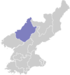
Cities Counties Categories:- Counties of Chagang
- North Korea geography stubs
Wikimedia Foundation. 2010.