- Makiki
-
 Makiki stretches from downtown Honolulu to Mānoa and Waikīkī, bounded to the north by Makiki Heights and Makiki Valley and to the south by Ala Moana.
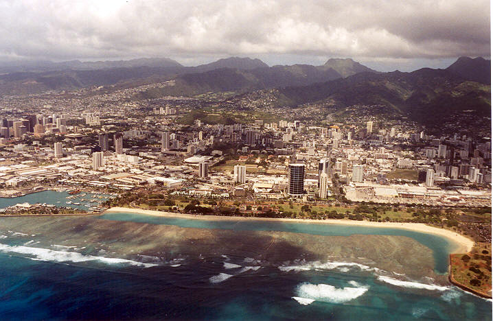
Makiki is an area of Honolulu, Hawaiʻi located northeast of downtown Honolulu generally stretching east to west from Punahou Street to Pensacola Street and north to south from Round Top Drive/Makiki Heights Drive to Lunalilo Freeway. Punchbowl, an extinct tuff cone, and Tantalus, tower over the Makiki neighborhood. The geographic layout of this area is primarily older houses, smaller apartment buildings, and side streets. Major roadways include Punahou Street, Pensacola Street, Piʻikoi Street, Nehoa Street, and Wilder Avenue. The area also includes a fire station, hospital, public school system, private schools including Punahou School, several churches of various denominations, a library, a community center, market place, and parks.
Two Makiki community organizations, Hui o Makiki and Friends of Makiki Community Library, have partnered together to create a Makiki Community Website with information about educational, cultural, recreational, and social-service offerings in the Makiki area, including a calendar of events.
Notable residents
- Barack Obama was born in Makiki at Kapi'olani Medical Center for Women & Children and lived in Makiki for much of his childhood and adolescence, attending Punahou School. His maternal grandparents, Stanley Armour and Madelyn Dunham, rented an apartment in Makiki in which Obama lived mostly in his childhood.
- Brian Schatz, Lieutenant Governor of Hawaii, resides in the district.
- Bruno Mars, President Theodore Roosevelt High School, R&B Singer.
Coordinates: 21°18′20.19″N 157°49′48.38″W / 21.3056083°N 157.8301056°W
References
Categories:- Neighborhoods in Honolulu, Hawaii
- Hawaii geography stubs
Wikimedia Foundation. 2010.