Bajerov

Bajerov

Geobox | Settlement
name = Bajerov
other_name =
category = Village


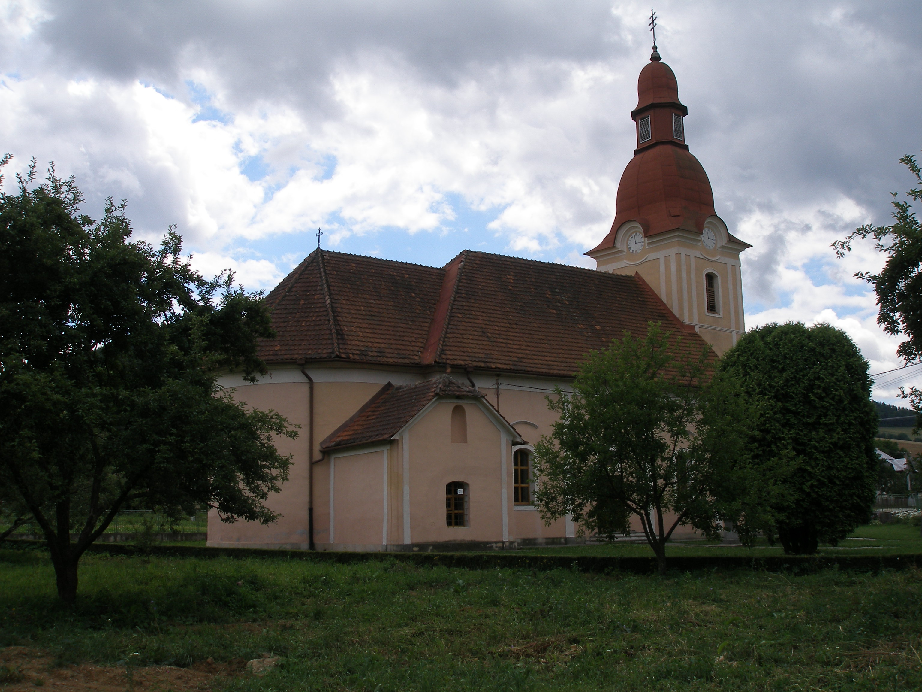
image_caption = Church in Bajerov


symbol =
etymology =
official_name =
motto =
nickname =
country = Slovakia
country_

state =
region = Prešov
district = Prešov
commune =
municipality =
part =
river =
location =
elevation = 344
lat_d = 48
lat_m = 57
lat_NS = N
long_d = 21
long_m = 07
long_EW = E
coordinates_type = region:SK_type:city
highest =
highest_elevation =
highest_lat_d =
highest_long_d =
lowest =
lowest_elevation =
lowest_lat_d =
lowest_long_d =
area = 6.628
area_round = 3
population = 439
population_date = 2004-12-31
population_density = auto
established = 1332
established_type = First mentioned
mayor =
timezone =
timezone_DST =
postal_code = 082 41
area_code = +421-51
code = PO
code_type = Car plate
free =


map_background = Slovakia - background map.png map_caption = Location of Bajerov in Slovakia
map_locator = Slovakia
map1 = Prešov Region - outline map.svg
map1_background = Prešov Region - background map.png map1_caption = Location of Bajerov in the Prešov Region
map1_locator = Prešov Region
commons =
statistics = [http://www.statistics.sk/mosmis/eng/prvav2.jsp?txtUroven440707&lstObec524174&Okruhzaklad MOŠ/MIS]
website = [http://www.bajerov.ocu.sk www.bajerov.ocu.sk]
footnotes =

Bajerov ( _de. Bayersdorf; _hu. Bajor) is a village and municipality in Prešov District in the Prešov Region of eastern Slovakia.In historical recordswhich|date=June 2008 the village was first mentioned in 1332 as a settlement of Bavarians.The municipality lies at an altitude of 344 metres and covers an area of 6.628 km². It has a population of about 440 people.

External links

*http://www.bajerov.ocu.sk


Wikimedia Foundation. 2010.

Игры ⚽ Нужно решить контрольную?

Look at other dictionaries:

  • Bajerov — (Village) Administration Pays …   Wikipédia en Français

  • Brežany — (Village) Panorama du village Administration …   Wikipédia en Français

  • Žipov — (Village) Héraldique …   Wikipédia en Français

  • Prešov Region — Geobox | Region name = Prešov category = Region image caption = image caption = symbol = symbol type = etymology = official name = motto = nickname = country = Slovakia country state = region = district = commune = municipality = border = part… …   Wikipedia

  • Prešov District —   District   Country Slovakia Re …   Wikipedia

  • List of German exonyms for places in the Czech Republic — Below are links to subpages with more detailed listings of the German language names of towns and villages in different regions of the Czech Republic. Many of these German names are now exonyms, but used to be endonyms commonly used by the local… …   Wikipedia

  • Veľký Šariš — Coordinates: 49°02′18″N 21°11′30″E / 49.03833°N 21.19167°E / 49.03833; 21.19167 …   Wikipedia

  • List of municipalities and towns in Slovakia — Slovakia This is a comprehensive list of municipalities and towns in Slovakia. For lists of towns and municipalities sorted by Regions see the individual articles on Regions. For an outdated list of towns only in Slovakia see also List of towns… …   Wikipedia

  • Cemeteries of Villages in Eastern Slovakia — *List of cemeteriesGrave stones older than 50 yearsBačkovvillage cemeterySurnames: Polaček, Lorinc, Karaffa, Kordiak, Dobranský, Kontír, Stichl, Palkovič, Štrobl, Stroka, Rudlai, Balint, Onufer, Ujhelyi, Heincz, Tkačík, Hartwig, Malcher, Németh,… …   Wikipedia

  • Červenica — Location of Prešov District in the Prešov Region. Červenica (Hungarian: Vörösvágás) is a village and municipality in Prešov District in the Prešov Region of eastern Slovakia …   Wikipedia

Share the article and excerpts

Direct link
Do a right-click on the link above
and select “Copy Link”