- Montreal River (Wisconsin-Michigan)
Geobox River
name = Montreal River
native_name =
other_name =
other_name1 =
image_size = 300
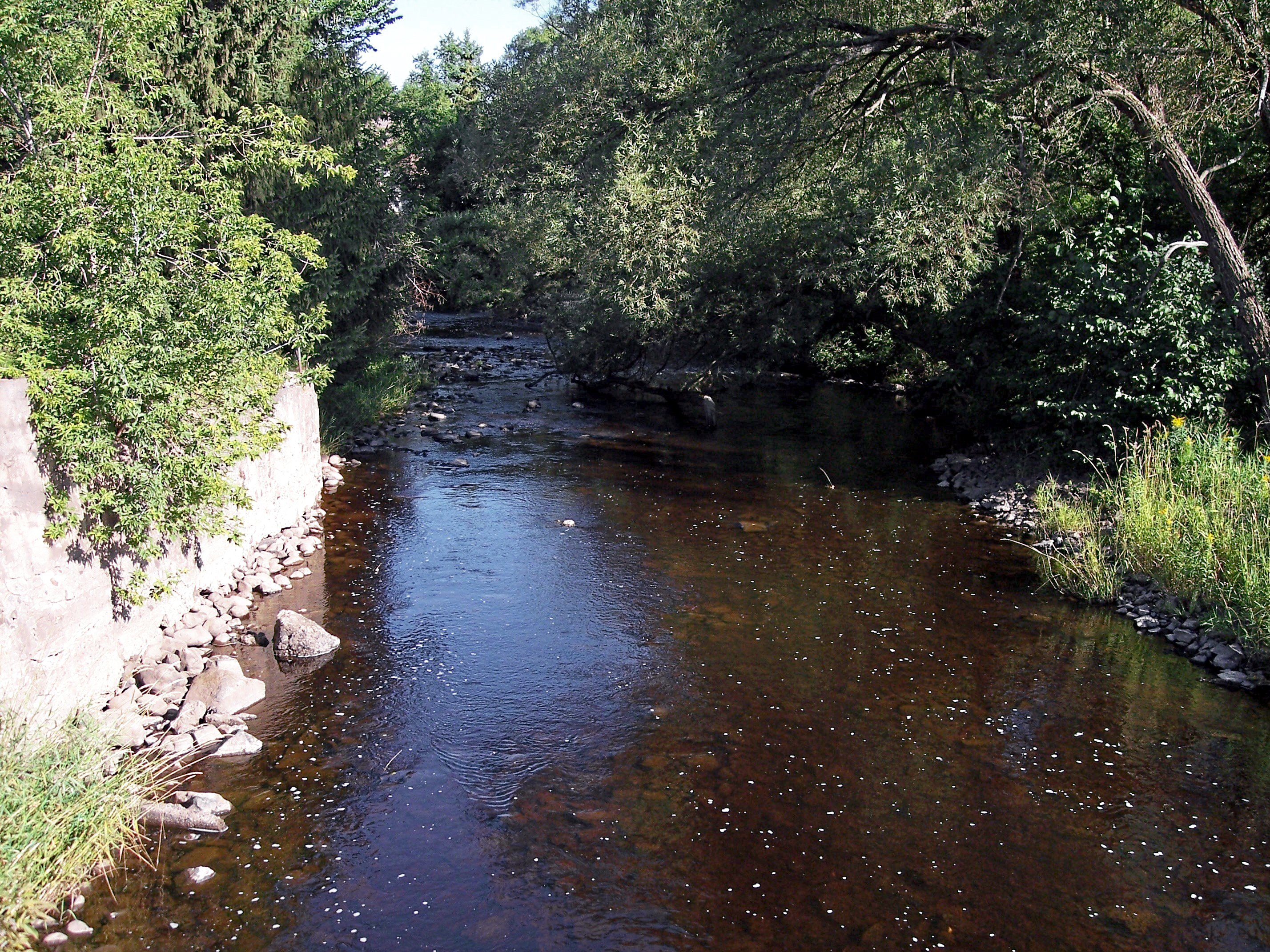
image_caption = The Montreal River in Ironwood-Hurley in 2006. Wisconsin is at left; Michigan is at right.
country = United States
state = Michigan
state1 = Wisconsin
region =
city =
city1 =
length_imperial = 40
length_note = approx. [cite web |url=http://reference.allrefer.com/gazetteer/M/M09985-montreal-river.html |title= Columbia Gazetteer of North America entry for Montreal River |accessdate=2007-03-19]
watershed_imperial = 270
watershed_note = approx.cite web |url=http://waterdata.usgs.gov/wi/nwis/annual/?referred_module=sw&site_no=04029990&por_04029990_1=1352393,00060,1,1987,2006&year_type=W&format=html_table&date_format=YYYY-MM-DD&rdb_compression=file&submitted_form=parameter_selection_list |title=USGS Surface-Water Annual Statistics for Wisconsin: USGS 04029990 Montreal River at Saxon Falls near Saxon, WI| author= United States Geological Survey |authorlink=United States Geological Survey |accessdate=2007-03-19]
discharge_location = Saxon, Wisconsin
discharge_imperial = 295.2
discharge_note = (2006)
discharge_max_imperial =
discharge_min_imperial =
discharge1_location =
discharge1_imperial =
source_name =Pine Lake
source_location = Oma, Wisconsin
source_region =
source_lat_d = 46
source_lat_m = 16
source_lat_s = 11
source_lat_NS = N
source_long_d = 90
source_long_m = 08
source_long_s = 51
source_long_EW = W
source_coordinates_note = cite web |url=Gnis3|1579905 |title=Geographic Names Information System entry for Montreal River (Feature ID #1579905) |author=Geographic Names Information System |authorlink=Geographic Names Information System|accessdate=2007-03-19]
source_elevation_imperial = 1611
source_elevation_note = [cite web |url=Gnis3|1571508 |title=Geographic Names Information System entry for Pine Lake (Feature ID #1571508) |author=Geographic Names Information System |authorlink=Geographic Names Information System|accessdate=2007-03-19]
source_length_imperial =
mouth_name = Lake Superior
mouth_location = Oronto Bay
mouth_lat_d = 46
mouth_lat_m = 33
mouth_lat_s = 56
mouth_lat_NS = N
mouth_long_d = 90
mouth_long_m = 25
mouth_long_s = 00
mouth_long_EW = W
mouth_coordinates_note =
mouth_elevation_imperial = 610
mouth_elevation_note =
tributary_left =West Fork Montreal River
tributary_left1 =
tributary_right =
tributary_right1 =
free_name =
free_value =

map_size =
map_caption =:"For other rivers with the same name, including another one in Michigan, see
Montreal River "The Montreal River is a
river flowing toLake Superior in northernWisconsin and the Upper Peninsula ofMichigan in theUnited States . It is approximately 40 miles (64 km) long and drains approximately 270 square miles (700 km²) in a forested region. For most of its length, the river's course is used to define a portion of the Wisconsin-Michigan border. The Ojibwe name for the river is "Gaa-waasijiwaang", meaning "where there iswhitewater ". [cite web |url=http://www.wisconsinhistory.org/dictionary/index.asp?action=view&term_id=3653&letter=M |title=Montreal River (origin of place name) |work=Dictionary of Wisconsin History |publisher= Wisconsin Historical Society |accessdate=2007-03-19] [cite web |url=http://www.freelang.net/dictionary/ojibwe.html |title=Ojibwe Dictionary |publisher=Freelang |accessdate=2007-03-24]The Montreal River issues from Pine Lake in the town of Oma in eastern Iron County in northern Wisconsin. It flows initially northwardly to the boundary between Iron County and
Gogebic County, Michigan , then northwestwardly along the state line, past the 'twin cities' ofHurley, Wisconsin andIronwood, Michigan . Downstream of Ironwood the river passes over Saxon Falls and Superior Falls and entersOronto Bay on the southwestern shore of Lake Superior, approximately 15 miles (24 km) northwest of Ironwood, at Michigan's westernmost point.cite book| title= Wisconsin Atlas & Gazetteer |year=1992 |publisher=DeLorme |location=Yarmouth, Me. |isbn= 0-89933-247-1 |pages= pp. 96, 104] [cite book| title= Michigan Atlas & Gazetteer |year=2003 |publisher=DeLorme |location=Yarmouth, Me. |isbn= 0-89933-335-4 |pages= p. 113]There are four named waterfalls on the Montreal River. Starting below
U.S. Route 2 and going downstream, they are Peterson Falls, Interstate Falls, Saxon Falls, andSuperior Falls . [Geographic Names Information System . Feature IDs #2126325, 2126328, 1621529, 1621836. Retrieved on 2008-02-04. ]The West Fork Montreal River [cite web |url=Gnis3|1580753 |title=Geographic Names Information System entry for West Fork Montreal River (Feature ID #1580753) |author=Geographic Names Information System |authorlink=Geographic Names Information System|accessdate=2007-03-19] issues from Island Lake in central Iron County and flows generally northwardly, roughly in parallel to the Montreal River, past the city of Montreal. It flows into the Montreal River downstream of Hurley. There are four named waterfalls on the West Fork Montreal River: Kimball Falls [Hurley Area Chamber of Commerce. "Hurley: Relax & Play at the Top of Wisconsin." Page 5. 2006. Annual Chamber of Commerce Visitor Guide.] , Rock Cut Falls [Lisi, Patrick J. "A Guide to Wisconsin's Waterfalls." Page 25. 1991. Wild Rivers Press. Oxford, Wisconsin.] , Gile Falls [Hurley Area Chamber of Commerce. "Hurley: Relax & Play at the Top of Wisconsin." Page 4. 2006. Annual Chamber of Commerce Visitor Guide.] , and Spring Camp Falls [
Geographic Names Information System . Feature ID #1574607 [Spring Camp Falls] . Retrieved on 2008-04-11. ] .ee also
*
List of Michigan rivers
*List of Wisconsin rivers
*River borders of U.S. states References
Wikimedia Foundation. 2010.