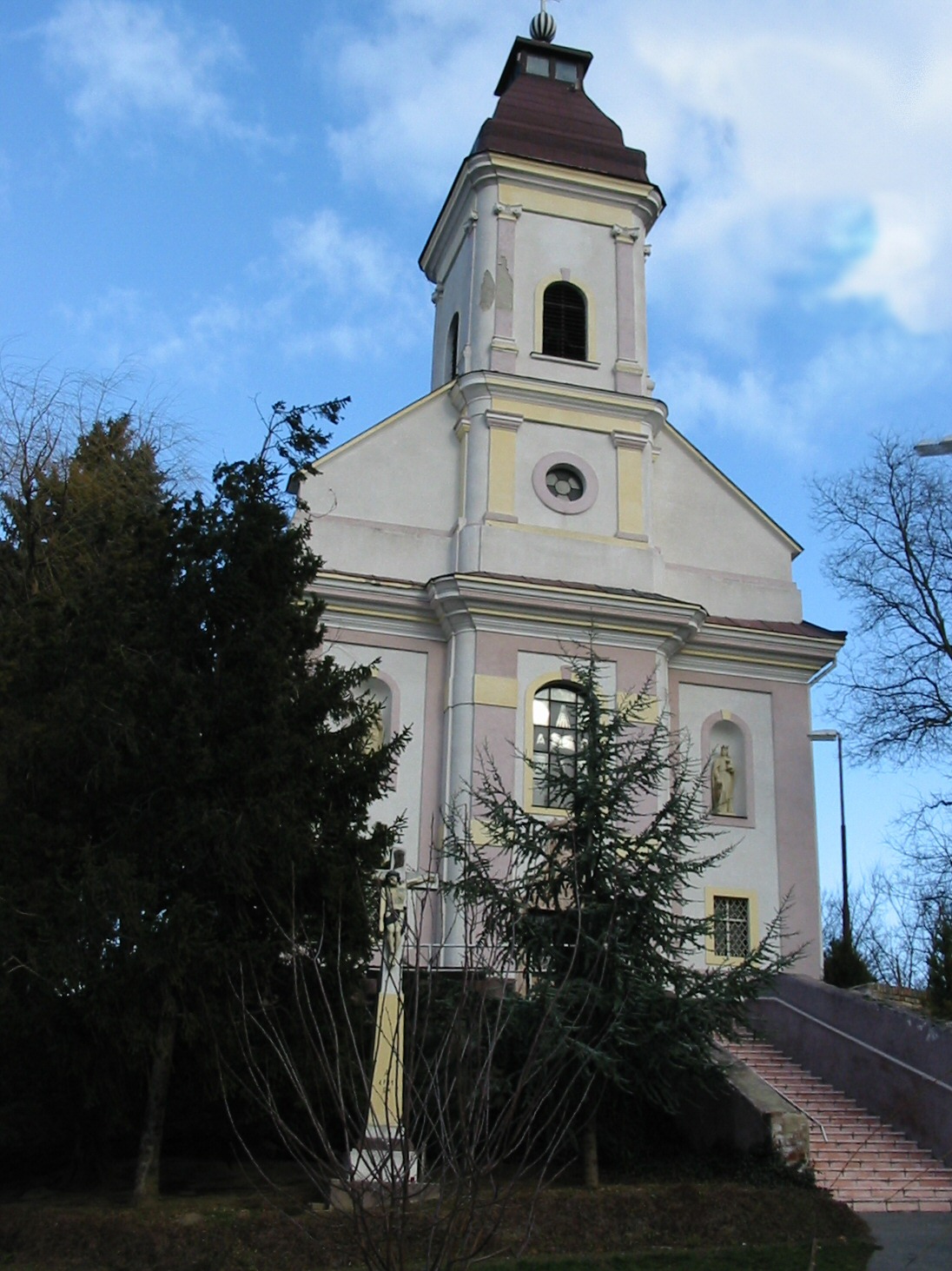
- Gbelce
Geobox | Settlement
name = Gbelce
other_name =
category = Village
image_caption =
symbol =
etymology =
official_name =
motto =
nickname =
country = Slovakia
country_
state =
region = Nitra
district = Nové Zámky
commune =
municipality =
part =
river =
location =
elevation = 144
lat_d = 47
lat_m = 51
lat_NS = N
long_d = 18
long_m = 31
long_EW = E
coordinates_type = region:SK_type:city
highest =
highest_elevation =
highest_lat_d =
highest_long_d =
lowest =
lowest_elevation =
lowest_lat_d =
lowest_long_d =
area = 26.611
area_round = 3
population = 2259
population_date = 2004-12-31
population_density = auto
established = 1233
established_type = First mentioned
mayor =
timezone =
timezone_DST =
postal_code = 943 42
area_code = +421-36
code = NZ
code_type = Car plate
free =

map_background = Slovakia - background map.png
map_locator = Slovakia
map1 = Nitra Region - outline map.svg
map1_background = Nitra Region - background map.png
map1_locator = Nitra Region
commons =
statistics = [http://www.statistics.sk/mosmis/eng/prvav2.jsp?txtUroven420404&lstObec503185&Okruhzaklad MOŠ/MIS]
website = [http://www.gbelce.sk www.gbelce.sk]
footnotes =Gbelce ( _hu. Köbölkút) is a
municipality and village in theNové Zámky District in theNitra Region of south-westSlovakia .History
In historical records the village was first mentioned in
1233 .Geography
The
village lies at analtitude of 144metres and covers anarea of 26.611 km². It has apopulation of about 2260 people.Ethnicity
The population is about 76% Magyar, 23% Slovak and 1% Roma.
Facilities
The
village has a publiclibrary agym andfootball pitch .External links
*http://www.gbelce.sk


Wikimedia Foundation. 2010.