- Nakhon Phanom Airport
-
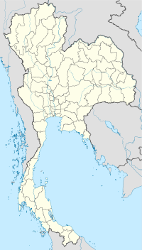
Nakhon Phanom Airport IATA: KOP – ICAO: VTUW Location of airport in Thailand Summary Airport type Public Operator Department of Civil Aviation Location Nakhon Phanom Elevation AMSL 587 ft / 179 m Coordinates 17°23′02″N 104°38′35″E / 17.38389°N 104.64306°ECoordinates: 17°23′02″N 104°38′35″E / 17.38389°N 104.64306°E Runways Direction Length Surface ft m 15/33 8,203 2,500 Asphalt - For the military use of the facility see Nakhon Phanom Royal Thai Navy Base
Nakhon Phanom Airport (IATA: KOP, ICAO: VTUW) is a small regional airport serving Nakhon Phanom, the capital city of Nakhon Phanom Province, Thailand.
Airlines and destinations
Airlines Destinations Nok Air Bangkok-Don Mueang See also
External links
- Official site
- Airport information for VTUW at World Aero Data. Data current as of October 2006.
 Airports in Thailand
Bangkok Central EasternNorthern Northeastern Buriram (BFV) · Khon Kaen (KKC) · Loei Airport (LOE) · Nakhon Phanom (KOP) · Nakhon Ratchasima (NAK) · Roi Et (ROI) · Sakhon Nakhon (SNO) · Ubon Ratchathani (UBP) · Udon Thani (UTH)Southern stub. You can help Wikipedia by expanding it.
This article about transport in Thailand is a stub. You can help Wikipedia by expanding it.

