- Biševo
Infobox Islands
name = Biševo
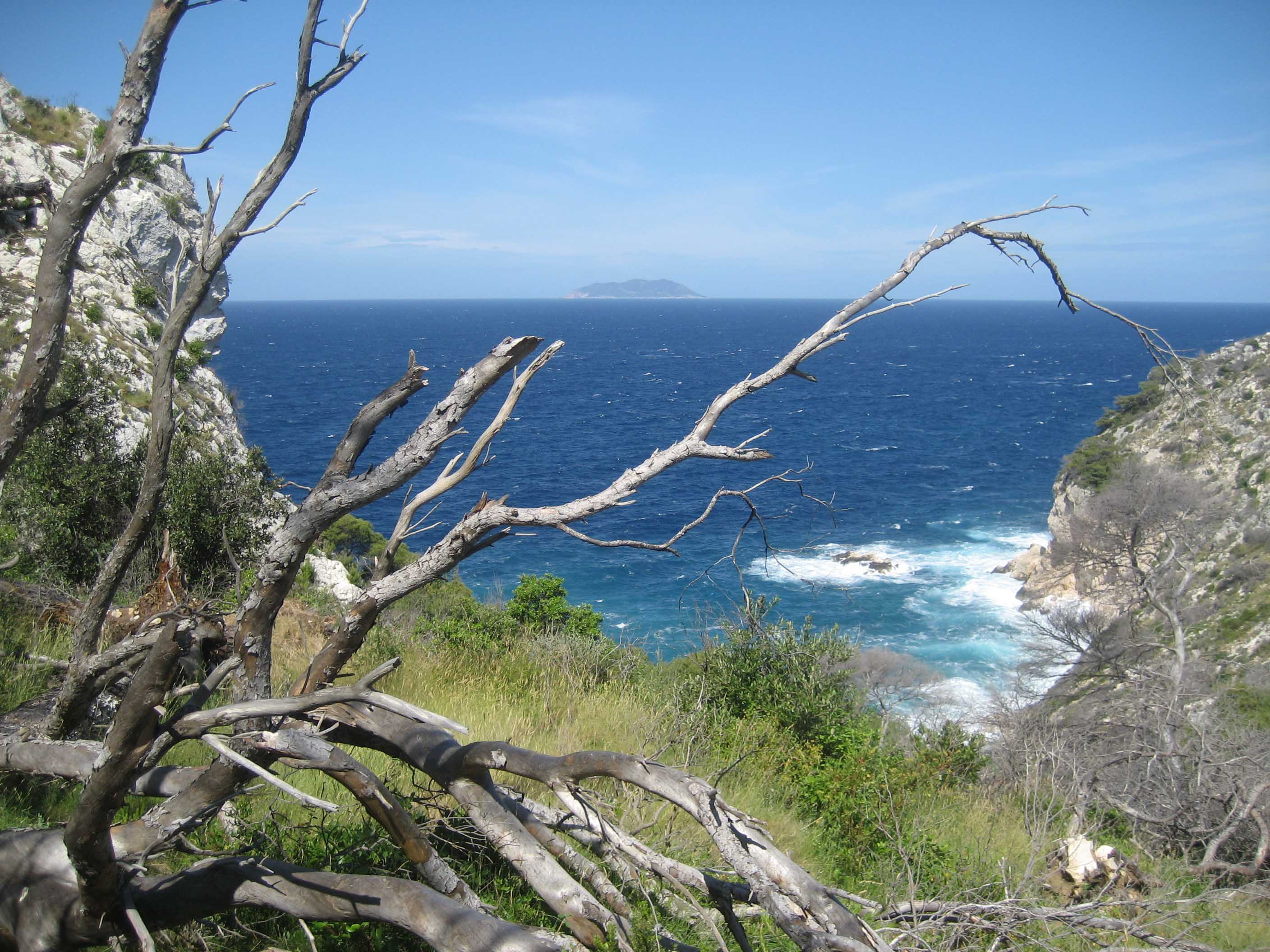
image caption = West coast of Biševo (Andrija island in the back)
image size =
locator
native name =
native name link = Croatian
nickname =
location =Adriatic sea
coordinates = coord|42|58|N|16|0|E|display=title
archipelago =
total islands =
major islands =
area = 5.8 km²
highest mount = Straženica
elevation = 239 m
country = Croatia
country admin divisions title = County
country admin divisions = Split-Dalmatia
country admin divisions title 1 =
country admin divisions 1 =
country admin divisions title 2 =
country admin divisions 2 =
country capital city =
country largest city =
country largest city population =
country leader title =
country leader name =
population = 19
population as of = 2001
density = 3
ethnic groups =
additional info =Biševo ( _it. Busi ) is an
island in theCroatia n part of theAdriatic Sea . It is situated in the middle of theDalmatia narchipelago , five kilometers southwest of theIsland of Vis . Its area is 5.8 km²hr icon [http://peljar.cvs.hr/show_place_info.php?id=140 First Croatian online peljar] ] , and it has a population of 19 (as of 2001 ). [http://www.dzs.hr/Hrv_Eng/ljetopis/2005/00-sadrzaj.pdf Statistical yearbook for 2006 of Central bureau of statistics of Republic of Croatia] ] It is composed oflimestone GE-YLZ|1|Biševo] ; the highest point is Straženica, 239m high. In the center of the island there is a fertile field, the northern part of the island is covered withpine forests and the rest of the island is covered withmaquis shrubland or bare rocks. The coastal sea belt is a rich fishing area. [http://www.dalmacija.net/komiza/bisevo.htm Biševo at dalmacija.net] ] The main industries areviticulture andfishing .A
Benedictine monastery was founded on Biševo in 1050 by Ivan Grlić from Split, but it was deserted two centuries later because of the danger ofpirate s. The church of Saint Sylvester is preserved near the ruins of the monastery. [http://www.croatiatouristcenter.com/bisevo.htm Biševo on croatiatouristcenter.com] ]On the steep shores there are many
cave s, the most famous being theBlue Cave . It has been accessible since 1884, and approach is possible only by boat. It is 18 meters long, 6 meters deep and 6 meters high. The entrance to the cave is only 1.5 meters high and 2.5 meters wide.hr icon [http://nautic-apartments.com/hrv/bisevo.htm Biševo on nautic-apartments.com] ] Around 10 to 13 o'clock sunbeams that penetrate through the submarine opening in the Blue Cave, reflect from the white bottom floor and colour the cave in blue and objects in the water in silver.References
External links
* [http://www.croatia-beaches.com/hidden/bisevo_porat_beach.htm Biševo on croatia-beaches.com]
* [http://www.croatiatouristcenter.com/bisevo.htm Biševo on croatiatouristcenter.com]
* [http://nautic-apartments.com/hrv/bisevo.htm Biševo on nautic-apartments.com]
* [http://www.chorvatsko.cz/stdalos/bisevo.html Article about Biševo]
Wikimedia Foundation. 2010.