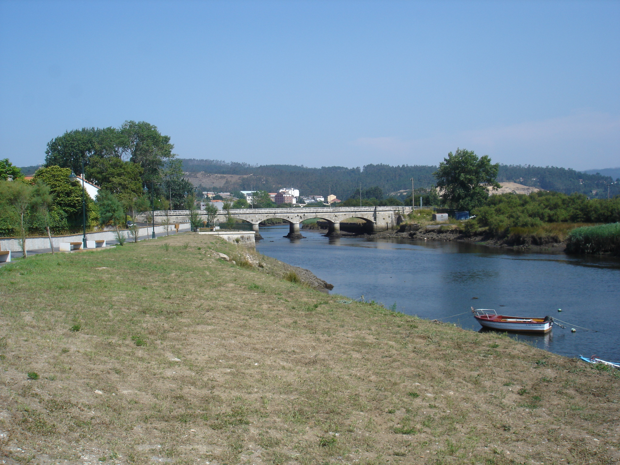
- Anllóns River
Infobox River | river_name = Anllóns

caption = The Anllóns near its mouth
origin =Xalo mounts ,Province of A Coruña , Galicia.
mouth =Atlantic Ocean
basin_countries = Galicia
length = 54.4 km ¹
elevation = 400 m
discharge =
watershed = The Anllóns is a Galicianriver whose source lies in theXalo Mountains , at a height of 400 m., and flows into theRia of Carme and Laxe . Its length is 54.4 km river, crossing the municipalities ofCabana de Bergantiños ,Carballo ,Cerceda ,Coristanco andPonteceso . Its middle flow is 9.931 m³.It was declarated a
Place of Communitary Importance in the year 2001. It feedsbrook s like the Graña, Quenxe, Acheiro, Abaixo, Queo or Bertón during its high course. After the pass atMount Neme , it feeds the water of the brooks Gándara, Bandeira, Vao, Galvar, Portecelo or Batán, and in its low course it feeds the waters of the brooks Lourido, Ponteceso, Prados or Bouzas.
Wikimedia Foundation. 2010.
