Irpin River

Irpin River

Infobox River | river_name = Irpin’
other_name = Ірпінь


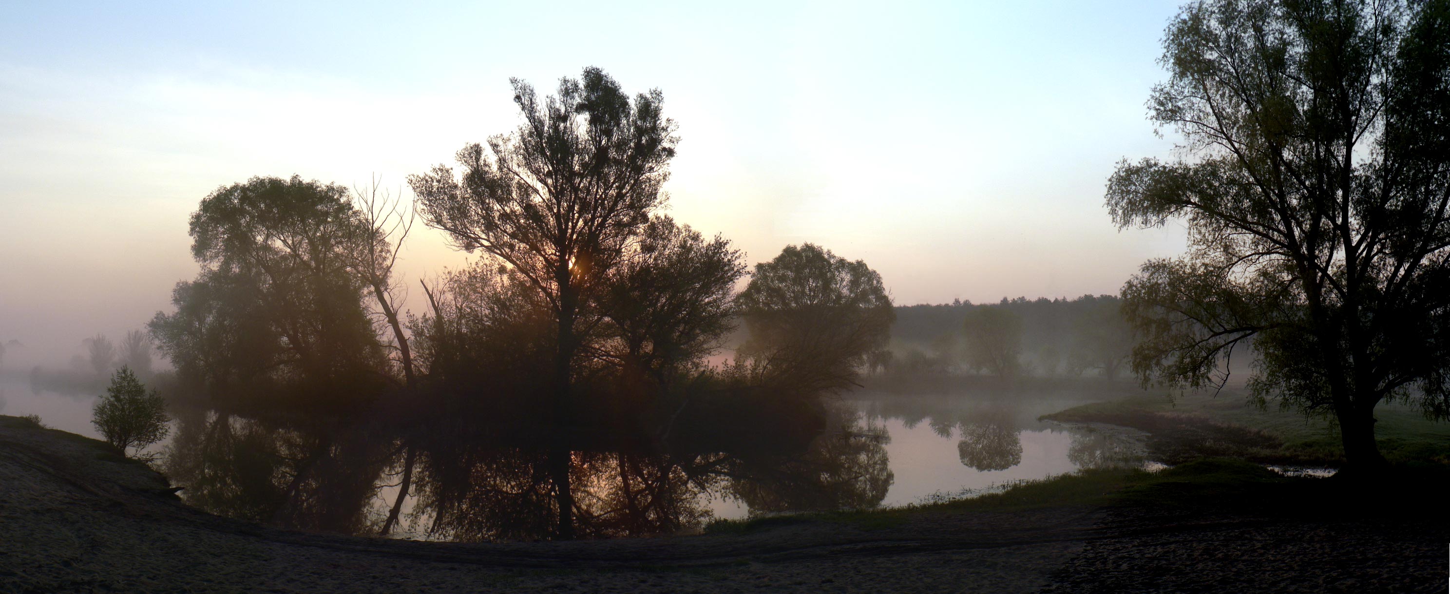
caption = The river in May
origin = Ukraine
mouth = Kiev Reservoir of the Dnieper
basin_countries = Ukraine
length = 162 km (101 mi)
elevation =
discharge =
watershed =

Irpin’ ( _uk. Ірпінь; _ru. Ирпень), often called Irpen’ as its name is pronounced in Russian, is a river in Ukraine, a right tributary of the Dnieper.

It is 162 km in length and flows through the city of Irpin'. The location where Irpin' enters the Dnieper river falls into the Kiev Reservoir which the Dnieper forms because of the Kiev Hydro-Electric Power Plant dam. Thus, the Dnieper water level at this location is lifted artificially by about 6.5–7 meters above the natural level. Therefore, the water of Irpin' is pumped into the Kiev Reservoir by powerful electrical pumps, making Irpin' the river that literally flows "upwards".

The lands around Irpen' were the heartland of Kievan Rus and the
chronicles mention the river in connection with several important historic events, such as the Battle on the Irpen' River of 1321 in which the Grand Duke of Lithuania Gediminas (Gedemin) gained control over the lands of what is now central Ukraine.


Wikimedia Foundation. 2010.

Игры ⚽ Поможем решить контрольную работу

Look at other dictionaries:

  • Irpin — For the town in Armenia, see Yelpin. Infobox City official name = Irpin’ native name = Ірпiнь image caption = Irpin city center image shield = Irpingerb.gif shield size = 110px map caption = Map of the Kyievo Sviatoshynskyi Raion with Irpin.… …   Wikipedia

  • Battle on the Irpen' River — Infobox Military Conflict conflict=Battle on the Irpen River partof= caption= date=1321 place=Irpin River result=Lithuanian victory combatant1= combatant2= commander1= commander2= strength1= strength2= casualties1= casualties2=The Battle on the… …   Wikipedia

  • Dnieper River — For other uses, see Dnieper (disambiguation) . Coordinates: 46°30′00″N 32°20′00″E / 46.5°N 32.3333333°E / 46.5; 32.3333333 …   Wikipedia

  • Desna River — For other uses, see Desna (disambiguation). Coordinates: 50°33′0″N 30°32′0″E / 50.55°N 30.533333°E / 50.55; 30.533333 …   Wikipedia

  • Drut River — Origin Belarus Mouth Dnieper Basin countries Belarus Length 295 km Avg. discharge 30 m³/s …   Wikipedia

  • Polans (eastern) — The Polans ( ua. Поляни, Polyany , ru. Поляне, Polyane ) were a tribe of Early East Slavs between the 6th and the 9th century, which inhabited both sides of the Dnieper river from Liubech to Rodnia and also down the lower streams of the rivers… …   Wikipedia

  • Threat of the Dnieper reservoirs — The water reservoirs of the Dnieper River in Ukraine pose a significant threat of a large scale human made disaster if their dams fail. Such a threat is typical for reservoir dams; however, the Dnieper reservoirs are especially dangerous because… …   Wikipedia

  • List of rivers of Ukraine — This is a list of the major rivers that flow through Ukraine. Ukraine, a country located on the continent of Europe, has many rivers. The most notable rivers of Ukraine include the: Danube, Dnieper, and the Dniester.: Note: The following rivers… …   Wikipedia

  • List of rivers of Europe — These are the main rivers of Europe (ecologically, the extreme west of the Palearctic ecozone which includes Russia in the east). See each article for their tributaries, drainage areas, etc.The longest rivers of Europe are: *Volga (3,692 km/2,294 …   Wikipedia

  • Dnieper Hydroelectric Station — The dam as seen from Khortytsia Island. Location Zaporizhia, Ukraine C …   Wikipedia

Share the article and excerpts

Direct link
Do a right-click on the link above
and select “Copy Link”