- Guanahacabibes peninsula
Infobox protected_area
name = Guanahacabibes
iucn_category = II
caption = Location of "Guanahacabibes " inCuba
locator_x = 11
locator_y = 40
location=CUB
nearest_city = Sandino
lat_degrees = 21
lat_minutes = 52
lat_seconds = 44
lat_direction = N
long_degrees = 84
long_minutes = 49
long_seconds = 23
long_direction = W
area = km2 to mi2|398.26|abbr=yes|wiki=yes|precision=2cite web |url=http://www.snap.cu/listados.htm |title=Protected Areas |author=National Protected Areas System of Cuba |accessdate=2007-10-10]
established = 1987 (Biosphere Reserve )
visitation_num =
visitation_year =
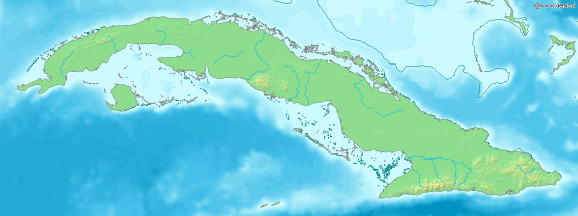
governing_body =Guanahacabibes Peninsula is the western most point on the island of
Cuba . It is located in thePinar del Río Province , in the municipality of Sandino and is sparsely populated. The waters surrounding thepeninsula are importantlobster andred snapper fishing grounds. It also boasts the category of "Biosphere Reserve ", listed byUNESCO in 1987. Its western extremity, Cape San Antonio ( _es. Cabo San Antonio), is the western most point of Cuba.Its location in the open waters of the
Gulf of Mexico make it vulnerable to hurricanes. The area was severely affected byHurricane Ivan in 2004 andHurricane Wilma in 2005. [cite web |url=http://www.rguama.co.cu/categorias/cienciasalud/6902365784/voluntad_vs_huracanes843219.htm |title=Guanahacabibes, Voluntad vs huracanes |author=Radio Guama |accessdate=2007-10-10]Guanahacabibes was the site of Cuba's first forced labor camp, started at the end of 1960. [http://www.independent.org/newsroom/article.asp?id=1535]
Conservation
The Guanahacabibes
National Park on the peninsula is one of the country's largest natural reserve and is separated from the rest of the island by white-sand plains where one of Cuba's largest lakeside area lies. A relative small area holds some 100 lakes, as well as the largest and purest fields of silica sand, which is 99.8% pure. Nature tourism is a major attraction in the km2 to mi2|398.26|abbr=yes|wiki=yes|precision=2 National Park. The area is inhabited by 172 species of birds belonging to 42 families, 11 of which are endemic and 84 are migratory. Experts also believe that 4 of the 7 species of marineturtles living on the planet have survived in the Guanahacabibes Peninsula. The coastline also contains preservedcoral reefs , with the northern coast being lined by thecay s and isles of the westernColorados Archipelago .The peninsula was one of the last refuges of aboriginals fleeing from the Spanish conquistadors and also holds some 140 archeological sites linked to the life of aborigines, who were known as
Guanahatabey es.ee also
*
Geography of Cuba References
Wikimedia Foundation. 2010.