- Dachsen
-
Dachsen 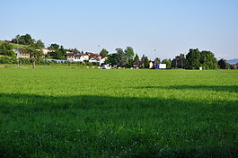
Country Switzerland 
Canton Zurich District Andelfingen 47°40′N 8°37′E / 47.667°N 8.617°ECoordinates: 47°40′N 8°37′E / 47.667°N 8.617°E Population 1,941 (Dec 2010)[1] - Density 722 /km2 (1,869 /sq mi) Area 2.69 km2 (1.04 sq mi) Elevation 400 m (1,312 ft) Postal code 8447 SFOS number 0025 Surrounded by Benken, Jestetten (DE-BW), Laufen-Uhwiesen, Rheinau Website www.dachsen.ch
SFSO statistics
 Dachsen
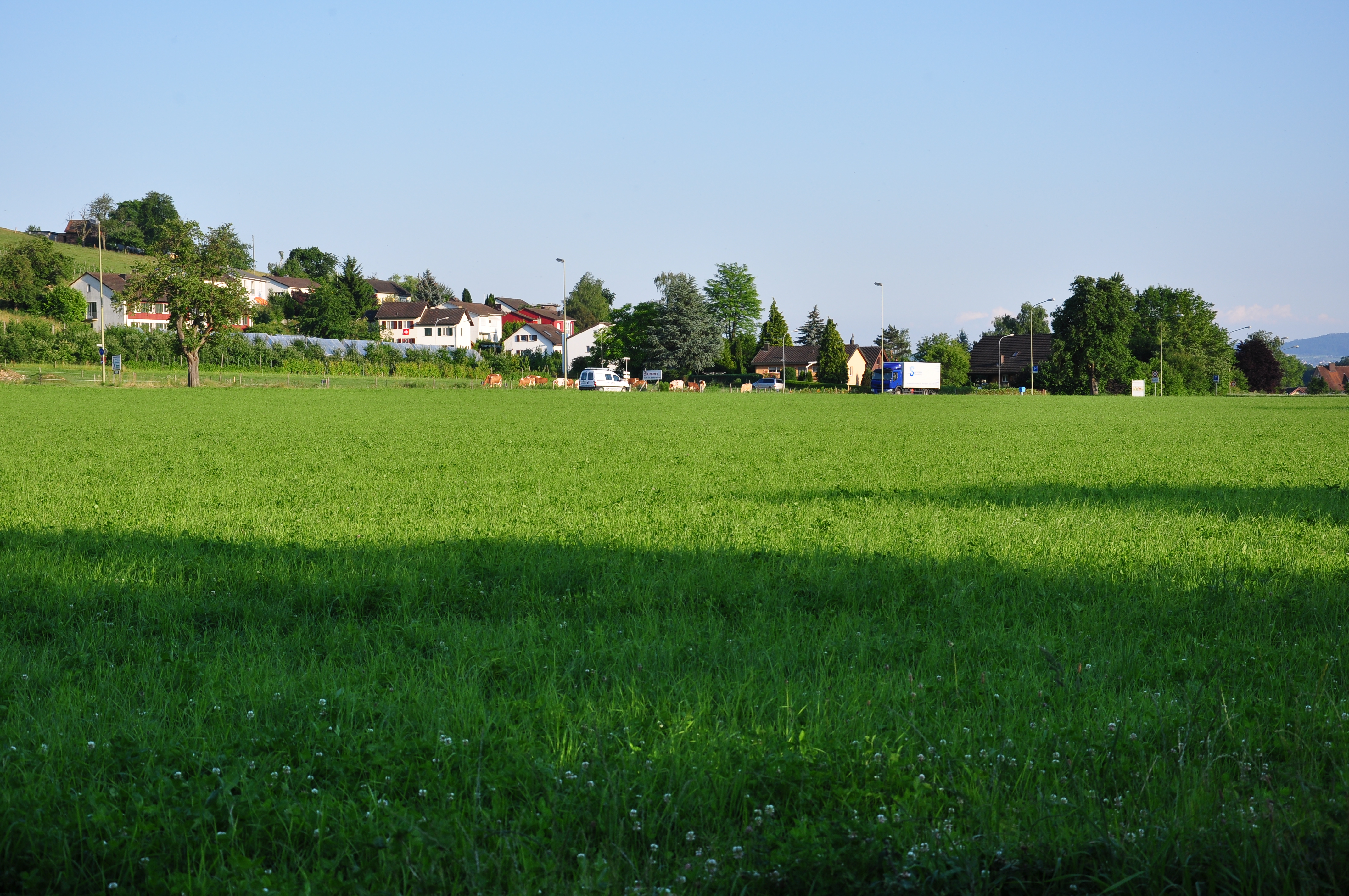
View map of Dachsen Dachsen is a municipality in the district of Andelfingen in the canton of Zürich in Switzerland.
Contents
History
Dachsen is first mentioned in 876 as Tahsheim.[2]
Geography
Dachsen has an area of 2.7 km2 (1.0 sq mi). Of this area, 52.8% is used for agricultural purposes, while 13% is forested. Of the rest of the land, 25.3% is settled (buildings or roads) and the remainder (8.9%) is non-productive (rivers, glaciers or mountains).[3]
The municipality is a linear village (built along a single street) on a terrace near the Rhine knee near Laufen-Uhwiesen. Currently it is part of the agglomeration of Schaffhausen, even though it is in the canton of Zürich.
Demographics
Dachsen has a population (as of 31 December 2010) of 1,941.[1] As of 2007[update], 11.4% of the population was made up of foreign nationals. Over the last 10 years the population has grown at a rate of 34%. Most of the population (as of 2000[update]) speaks German (95.1%), with Italian being second most common ( 1.6%) and French being third ( 0.7%).
In the 2007 election the most popular party was the SVP which received 35.2% of the vote. The next three most popular parties were the SPS (18.8%), the Green Party (12.8%) and the FDP (11.1%).
The age distribution of the population (as of 2000[update]) is children and teenagers (0–19 years old) make up 26.5% of the population, while adults (20–64 years old) make up 60% and seniors (over 64 years old) make up 13.5%. The entire Swiss population is generally well educated. In Dachsen about 83.9% of the population (between age 25-64) have completed either non-mandatory upper secondary education or additional higher education (either university or a Fachhochschule).
Dachsen has an unemployment rate of 1.4%. As of 2005[update], there were 30 people employed in the primary economic sector and about 8 businesses involved in this sector. 190 people are employed in the secondary sector and there are 17 businesses in this sector. 128 people are employed in the tertiary sector, with 38 businesses in this sector.[3] The historical population is given in the following table:[2]
year population 1467 c. 17 Households 1637 170 1799 370 1850 501 1900 570 1950 690 2000 1,533 Transportation
Dachsen is a stop of the S-Bahn Zürich on the line S33.
References
- ^ a b Canton of Zurich Statistical Office (German) accessed 29 March 2011
- ^ a b Dachsen in German, French and Italian in the online Historical Dictionary of Switzerland.
- ^ a b Swiss Federal Statistical Office accessed 27-Jul-2009
External links
- Official website (German)
- Dachsen in German, French and Italian in the online Historical Dictionary of Switzerland.
Adlikon | Andelfingen | Benken | Berg am Irchel | Buch am Irchel | Dachsen | Dorf | Feuerthalen | Flaach | Flurlingen | Henggart | Humlikon | Kleinandelfingen | Laufen-Uhwiesen | Marthalen | Oberstammheim | Ossingen | Rheinau | Thalheim an der Thur | Trüllikon | Truttikon | Unterstammheim | Volken | Waltalingen
Canton of Zürich | Districts of Canton Zürich | Municipalities of the canton of Zurich


Wikimedia Foundation. 2010.