- Meleti
-
Meleti — Comune — Comune di Meleti 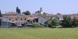

Coat of armsLocation of Meleti in Italy
 Meleti
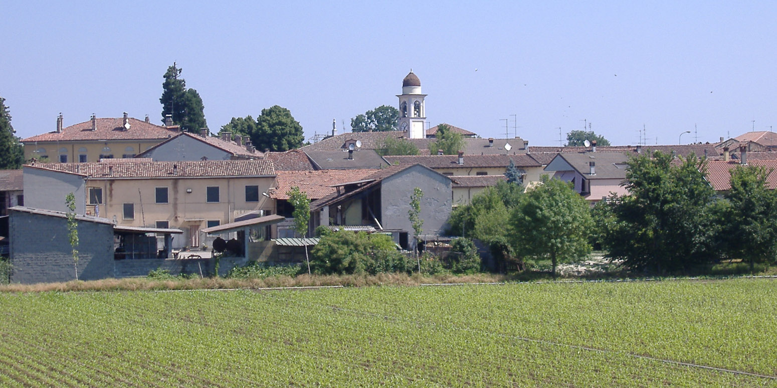
Coordinates: 45°10′N 9°51′E / 45.167°N 9.85°E Country Italy Region Lombardy Province Lodi (LO) Government - Mayor Emanuele Stefanoni Area - Total 7.4 km2 (2.9 sq mi) Elevation 40 m (131 ft) Population (1 January 2009 [1]) - Total 468 - Density 63.2/km2 (163.8/sq mi) Demonym Meletesi Time zone CET (UTC+1) - Summer (DST) CEST (UTC+2) Postal code 26843 Dialing code 0377 Website Official website Meleti is a comune (municipality) in the Province of Lodi in the Italian region Lombardy, located about 60 km southeast of Milan and about 30 km southeast of Lodi.
Meleti borders the following municipalities: Crotta d'Adda, Cornovecchio, Maccastorna, Castelnuovo Bocca d'Adda, Caselle Landi.
References
Categories:- Province of Lodi geography stubs
- Cities and towns in Lombardy
- Communes of the Province of Lodi

Wikimedia Foundation. 2010.