- Seille
Infobox River | river_name = Seille
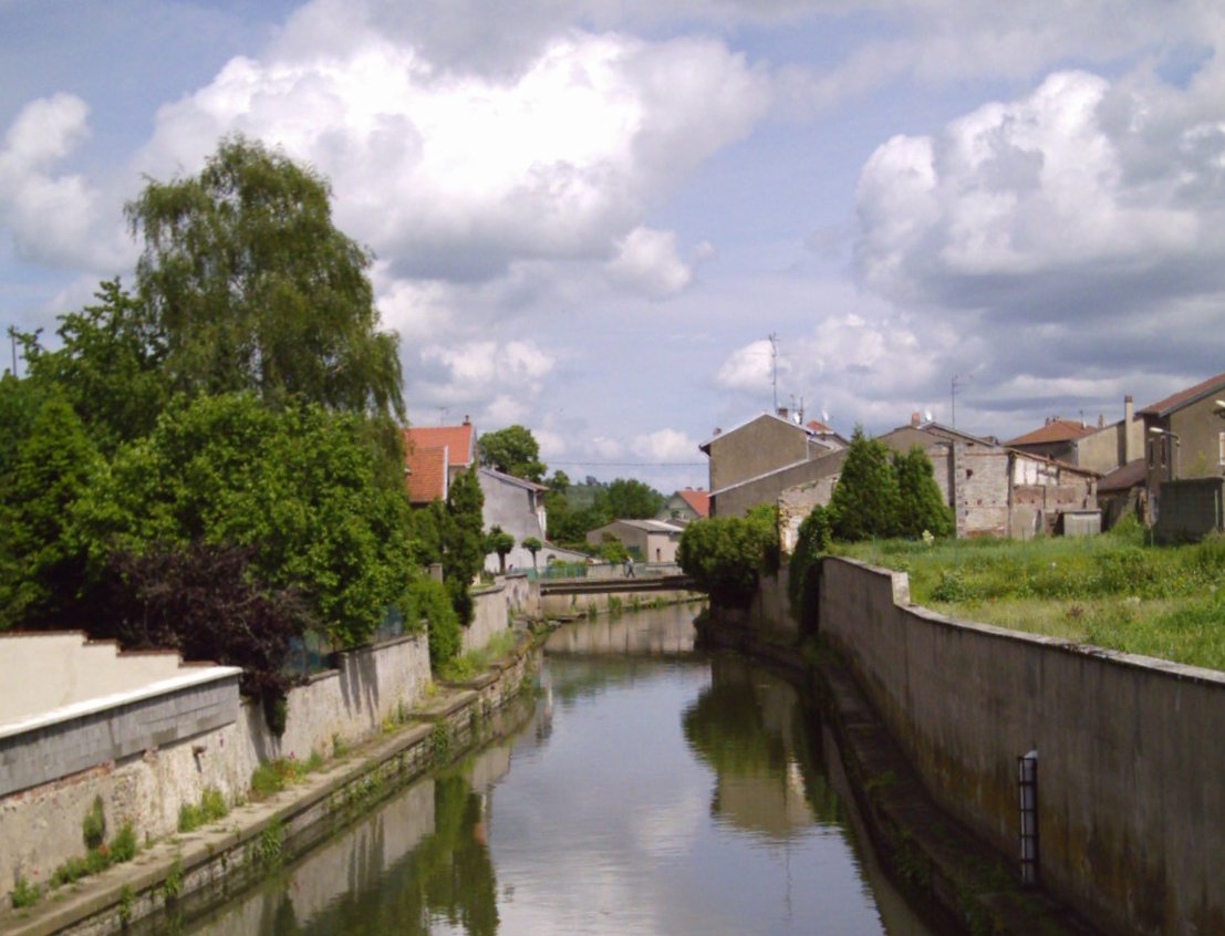
caption = The Seille atVic-sur-Seille
origin = Azoudange,Moselle
mouth =Moselle River
coord|49|7|32|N|6|11|8|E|name=Moselle-Seille|display=inline,title
basin_countries =France
length = 138 km
elevation =
discharge = 10.5 m³/s
watershed = 1348 km²The Seille (pronounced|sɛj) is a
river in the French "région" of Lorraine, right tributary of theMoselle River . It is also known as the "Seille lorraine" or the "Grande Seille" ("large Seille"), to distinguish it from another Seille, a smalltributary of theSaône .It originates near
Azoudange , in the département ofMoselle . Leaving the Lindre lake, it skirts the town ofDieuze , and traversesVic-sur-Seille andNomeny , before flowing into the Moselle atMetz . It is 135 km long, and has a basin area of 1348 km². Most of its length is in the département of Moselle, except for the part betweenAulnois-sur-Seille andCheminot , which is inMeurthe-et-Moselle . The Seille also serves as theborder between Moselle and Meurthe-et-Moselle fromChambrey to Aulnois-sur-Seille.Upstream
Originating in the Pond region, the Seille then crosses Saulnois, a region in the South of Moselle. This section of the river is part of the "Parc naturel régional de Lorraine" ("Regional Natural Park of Lorraine"). The river then flows into a large valley, the ground of which is composed mainly of
marl andclay . Since theMiddle Ages , there has been much work performed on the Seille, in part to straighten it (to render itnavigable ), to drain the nearbyswamps , and to limitflood ing of adjacent low-lying areas.Its linear course and the treelessness of its banks makes it of little interest to the landscape, and today the erosion of its banks poses problems. Despite this, the valley is of biological interest:
salt water resurgences have led to the presence of variousplant species that are usually confined tocoast lines, includingglasswort , "aster tripolium ", and sea-spurreys.As of 2004 , work is being done on the river: the banks of the river are being reforested, and anoxygenation system is being installed.The Seille has a number of tributaries, the most important of which are:
* the "Spin" and the "Verbach", in Dieuze (right bank)
* the "ruisseau de Videlange" (lit. "brook of Videlange"), near Mulcey (right bank)
* the "Nard", in Marsal (left bank)
* the "Petite Seille" (lit. "Small Seille"), in Salonnes (right bank)
* the "Loutre Noire" (lit. "Black Otter"), in Moncel-sur-Seille (left bank)Downstream
Downstream, the Seille is much less straight, following a contorted path along the border of the département of
Moselle .This section of the river has comparatively few tributaries:
* the "Osson", at Ajoncourt
* the "ruisseau Saint-Jean" (lit. "St. John brook"), in Létricourt (right bank)
* the "ruisseau Saint-Pierre" (lit. "St. Peter brook")Finally, in
Metz , after passing the "Porte des Allemands" (a 13th century castle, lit. "Gate of the Germans"), it flows into the right bank of theMoselle River .Flora and Fauna
The river is classified as "Category II" (categories are based on types of fish), and is the habitat for a very large variety of
fish .It is also home to a variety of other animals, such asotter s,heron s, andcaterpillar s.The Seille suffers fromeutrophication .Toponymy Numerous towns and villages incorporate the name of the river into theirs. Some examples include: Aboncourt-sur-Seille, Aulnois-sur-Seille, Bey-sur-Seille, Brin-sur-Seille, Coin-sur-Seille, Haraucourt-sur-Seille, Mailly-sur-Seille, Malaucourt-sur-Seille, Moncel-sur-Seille, Morville-sur-Seille, Port-sur-Seille, and Vic-sur-Seille.The suffix "sur-Seille" means "on the Seille" in French, and the practice is analogous to the English place names that incorporate river names, such as Newcastle-upon-Tyne.
References
*http://www.geoportail.fr
* [http://sandre.eaufrance.fr/app/chainage/courdo/htm/A7--0100.php?cg=A7--0100 The Seille at the Sandre database]External links
* [http://sitewebseille.free.fr/ Photos and History of the Seille]
Wikimedia Foundation. 2010.