- Collepardo
-
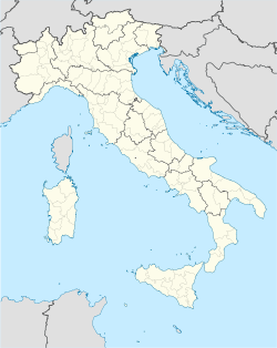
Collepardo — Comune — Comune di Collepardo Location of Collepardo in Italy Coordinates: 41°46′N 13°22′E / 41.767°N 13.367°ECoordinates: 41°46′N 13°22′E / 41.767°N 13.367°E Country Italy Region Lazio Province Province of Frosinone (FR) Frazioni Civita Area - Total 25.0 km2 (9.7 sq mi) Elevation 586 m (1,923 ft) Population (Dec. 2004) - Total 927 - Density 37.1/km2 (96/sq mi) Demonym Collepardesi Time zone CET (UTC+1) - Summer (DST) CEST (UTC+2) Postal code 03010 Dialing code 0775 Patron saint Santissimo Salvatore Saint day August 6th Website Official website Collepardo is a comune (municipality) in the Province of Frosinone in the Italian region Lazio, located about 70 km east of Rome and about 15 km north of Frosinone. As of 31 December 2004, it had a population of 927 and an area of 25.0 km².[1]
The municipality of Collepardo contains the frazione (subdivision) Civita.
Collepardo borders the following municipalities: Alatri, Veroli, Vico nel Lazio.
Contents
Points of interest
Demographic evolution

References
External links
Categories:- Cities and towns in Lazio
- Communes of the Province of Frosinone
- Lazio geography stubs
Wikimedia Foundation. 2010.

