- Saint Elias Mountains
Geobox|Range
name=Saint Elias Mountains

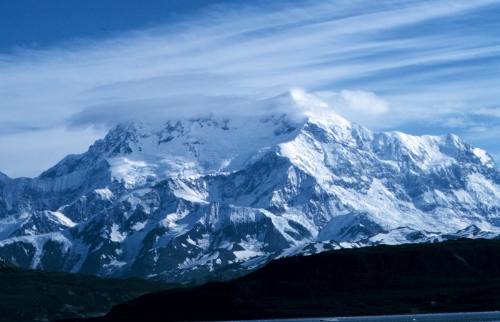
image_caption=Mt. Saint Elias
country=United States
country1=Canada
region=Alaska | region1=Yukon | region2=British Columbia
parent=Pacific Coast Ranges
border=Wrangell Mountains
length_imperial=300| length_round=-1| length_orientation=
width_imperial =90 | width_round=-1 | width_orientation=
highest=Mount Logan
highest_elevation=5959
highest_lat_d=60|highest_lat_m=34|highest_lat_s=02|highest_lat_NS=N
highest_long_d=140|highest_long_m=24|highest_long_s=10|highest_long_EW=W
geology= | period= | orogeny=

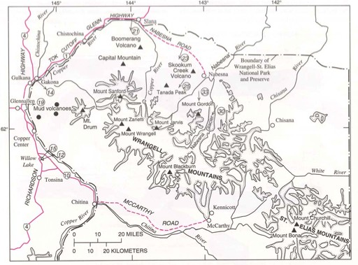
map_caption=Saint Elias Mountains, east of the Wrangell MountainsThe Saint Elias Mountains are a subgroup of thePacific Coast Ranges located in southeasternAlaska (United States ), southwesternYukon and the very far northwestern part ofBritish Columbia (Canada ). The range spansWrangell-St. Elias National Park and Preserve in the USA andKluane National Park and Reserve in Canada and includes all ofGlacier Bay National Park inAlaska . In Alaska, the range includes parts of the city/borough of Yakutat and the Hoonah-Angoon and Valdez-Cordova census areas. [gnis|1408965]Geology
Although most of the range is non-volcanic, portions at the western end near the
Wrangell Mountains are volcanic. This region includes two majorstratovolcano es,Mount Churchill andMount Bona , the latter being the highest volcano in the United States. West of the Saint Elias Mountains is the still-activeFairweather Fault , which is the northward extension of theQueen Charlotte Fault .Highest mountains
The highest mountains of the range include:
Notes
References
*
*
*
*
Wikimedia Foundation. 2010.
