- Ill (France)
Infobox River | river_name = Ill

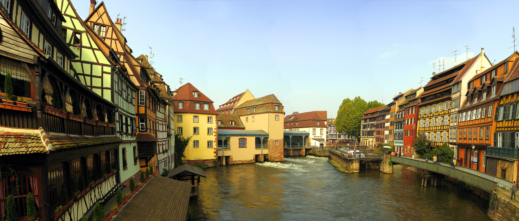
caption = The Ill atStrasbourg .
origin =Jura mountains
mouth =Rhine
coord|48|42|1|N|7|55|52|E|name=Rhine-Ill|display=inline,title
basin_countries =France
length = 223 km
elevation = ±570 m
discharge =
watershed = 4,760 km²The Ill (all capitals: ILL, pronounced: IPA| [il] ) is ariver inAlsace , in north-easternFrance . It is a left-side, or western tributary of theRhine .It starts down from its source near the village of Winkel, in the
Jura mountains , and then runs northward through Alsace, flowing parallel to the Rhine. It receives several tributaries from theVosges mountains , including the Doller,Souffel and the Thur. The Ill passes throughMulhouse ,Colmar andSélestat before meeting with the Rhine beneathStrasbourg .Flowing through the city of Strasbourg, the river forms part of the 17th century fortifications and passes through a series of locks and channels in the picturesque old town, including the
Petite-France district, where its waters were once used to power mills and tanneries.References
*http://www.geoportail.fr
* [http://sandre.eaufrance.fr/app/chainage/courdo/htm/A---0030.php?cg=A---0030 The Ill at the Sandre database]
Wikimedia Foundation. 2010.
